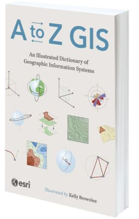
A to Z GIS: An Illustrated Dictionary of Geographic Information Systems

By Esri
As GIS has evolved and grown, so has the language of this powerful technology. With more than 1,400 new terms and nearly 400 high-quality illustrations, the third edition of A to Z GIS: An Illustrated Dictionary of Geographic Information Systems helps readers elevate their understanding of GIS. Written, developed, and reviewed by more than 200 subject matter experts, this comprehensive, fully cross-referenced dictionary—with nearly 3,000 terms in total—is essential for managers, programmers, users, writers, editors, and students discovering the interdisciplinary nature of GIS.
- March 2025, 354 pp.
- Ebook ISBN: 9781589488120
- Paperback ISBN: 9781589488113
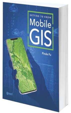
Getting to Know Mobile GIS

By Dr. Pinde Fu
“Mobile first” and the “post-PC era” aren’t just buzzwords; they represent today’s reality. Within the GIS industry, the mobile internet has profoundly transformed how people acquire, visualize, analyze, and disseminate geospatial information. Getting to Know Mobile GIS helps GIS professionals and students grasp the opportunities presented by Mobile GIS across business operations in a variety of organizations. Using a low- to no-code approach, the book includes detailed tutorials that make the principles of Mobile GIS fun and easy to learn. It helps readers become immediately productive in creating enterprise GIS solutions for online and offline spatial data visualizations, data collection, location sharing, and workforce coordination.
- February 2025, 286 pp.
- Ebook ISBN: 9781589488083
- Paperback ISBN: 9781589488076

