The Power of Where: A Geographic Approach to the World’s Greatest Challenges
By Jack Dangermond
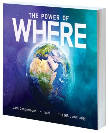
Discover the growing potential of modern GIS to address the most considerable problems of our time. With a foreword by James Fallows, bestselling author and writer for The Atlantic, The Power of Where: A Geographic Approach to the World’s Greatest Challenges is filled with the latest web maps, illustrations, and real-life stories from GIS users that demonstrate how the geographic approach can be used to monitor wildlife migration, address rising sea levels, plan urban spaces, streamline food production, and more. Author and Esri president Jack Dangermond draws on his 60 years of research and experience in the industry to argue that GIS and the geographic approach are well-suited to tackle climate change, hunger, water scarcity, inequity, and other issues large and small.
- July 2024, 300 pp.
- Ebook ISBN: 9781589486072
- Paperback ISBN: 9781589486065
Top 20 Essential Skills for ArcGIS Online
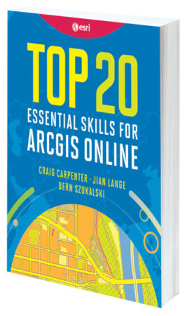
By Craig Carpenter, Jian Lange, and Bern Szukalski
Top 20 Essential Skills for ArcGIS Online guides readers, step-by-step, through the process of creating maps that simplify location data and help users unlock spatial insight. Bite-size chapters—each of which takes about 45 minutes to complete—demonstrate how to create layers, build web maps, and showcase location data in professional visualizations. This book is perfect for students seeking a comprehensive guide to follow from beginning to end; professionals looking to learn specific skills; and anyone who wants a single, reliable, and comprehensive resource for learning how to create web maps.
- June 2024, 282 pp.
- Ebook ISBN: 9781589487819
- Paperback ISBN: 9781589487802
Getting to Know ArcGIS Pro 3.2
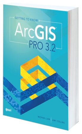
By Michael Law and Amy Collins
The newest edition in this best-selling series, Getting to Know ArcGIS Pro 3.2 introduces readers to ArcGIS Pro and walks them through how to use 3D GIS, build a geodatabase, create maps for web and physical presentations, and more. With easy-to-follow workflows and more than 300 full-color images, the book clarifies complicated processes, such as developing a geoprocessing model, using Python to write a script tool, and creating space-time cubes.
- May 2024, 352 pp.
- Ebook ISBN: 9781589487789
- Paperback ISBN: 9781589487772
The Locators: Adventure in Oceania

By Kyle Bauer and Colleen Conner, illustrated by Wesley Jones
Lucy, Oliver, and Moe the Parrot are on another mission—this time in Oceania, where they use maps, technology, and spatial thinking to study the Great Barrier Reef, Papua New Guinea, and more. With a mission to provide help to those who need it, the trio finds and grows healthy coral in the Great Barrier Reef and rescues unique species facing a dangerous wildfire in New South Wales, Australia. While completing the illustrated activities in each chapter, readers get to scuba dive in the ocean, check out a wombat’s burrow, and even follow a pod of whales! The Locators: Adventure in Oceania is perfect for children ages 8–11 who love geography and exploring the world.
- July 2024, 132 pp.
- Ebook ISBN: 9781589487574
- Paperback ISBN: 9781589487567
Mapping the Deep: Innovation, Exploration, and the Dive of a Lifetime
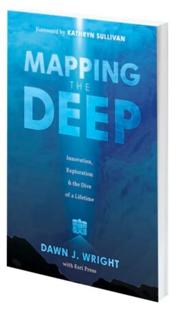
By Dawn J. Wright with Esri Press
Oceanographer and author Dawn J. Wright made history in 2022 when she became the first Black person to visit Challenger Deep, the deepest and least-explored place on Earth. With a foreword by oceanographer and former astronaut Kathryn Sullivan, Mapping the Deep: Innovation, Exploration, and the Dive of a Lifetime takes readers on an extraordinary adventure with an extraordinary woman to the depths of the Pacific Ocean. Focusing on Wright’s historic dive, her personal journey, and the cutting-edge technology that made the expedition possible, the book highlights the importance of mapping the ocean as well as deep-sea exploration’s profound impact on our planet’s future.
- September 2024, 190 pp.
- Ebook ISBN: 9781589487895
- Paperback ISBN: 9781589487888
The Geography of Hope: Real-Life Stories of Optimists Mapping a Better World
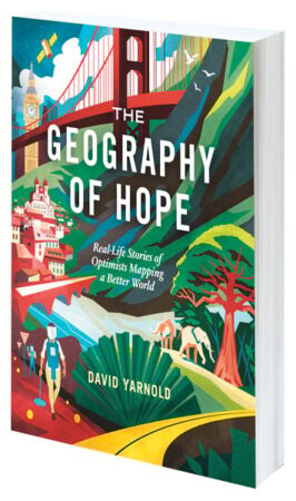
By David Yarnold
Former National Audubon Society CEO and award-winning writer and photographer David Yarnold traveled the world to introduce readers to people who are effecting change using “the most important technology you’ve probably never heard of.” The Geography of Hope: Real-Life Stories of Optimists Mapping a Better World includes nine topical stories that span the globe, from Prague to Berkeley and from Nairobi to Kyiv, showcasing how AI is reshaping national intelligence, a father-daughter duo fighting for fair elections, how deadly explosives are removed after conflicts, and how K–12 education can be improved. This book puts human faces to GIS in a way that hasn’t been done before, revealing the GIS that’s all around us all the time.
- October 2024, 246 pp.
- Ebook ISBN: 9781589487420
- Paperback ISBN: 9781589487413
Mapping with Altitude: Designing 3D Maps
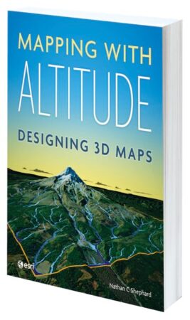
By Nathan C Shephard
Representing and reviewing data on maps in 3D lets viewers explore complex relationships in new ways, identifying patterns and potential problems more effectively. But creating digital 3D maps that are accurate, intuitive, engaging, and easily navigable can be daunting—even for experienced cartographers. In Mapping with Altitude: Designing 3D Maps, author and Esri senior product engineer Nathan C Shephard takes a fun and enthusiastic approach to exploring the concepts, challenges, and opportunities in 3D cartography while focusing on the practical decisions and techniques that mapmakers need to use as they boldly enter the world of 3D map authoring in ArcGIS.
- July 2024, 280 pp.
- Ebook ISBN: 9781589485549
- Paperback ISBN: 9781589485532
Fieldwork Handbook: A Practical Guide on the Go
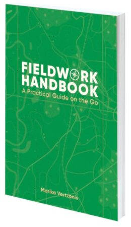
By Marika Vertzonis
Fieldwork is anchored by location, whether it’s a biologist in a rainforest observing indigenous frogs, an engineer maintaining utility equipment, or a community scientist taking water samples from a creek. Fieldwork Handbook: A Practical Guide on the Go has tips, best practices, and activities to make working in the field more productive and successful. Author and Esri product engineer Marika Vertzonis covers preparation, equipment, workflows, and data to teach readers how to organize and reconcile field data, effectively coordinate and dispatch field resources, refine fieldwork workflows, and sync the office with the field.
- March 2024, 200 pp.
- Ebook ISBN: 9781589487185
- Paperback ISBN: 9781589487178
Advanced Python Scripting for ArcGIS Pro, Second Edition

By Paul A. Zandbergen
An easy-to-follow guide to writing specialized Python scripts, Advanced Python Scripting for ArcGIS Pro, Second Edition, is updated for ArcGIS Pro 3.2. Intended for users who have a good foundation in Python, the book explores how to turn scripts into tools, develop notebooks to share with others, employ third-party packages, and more. May/September 2024, 286 pp. Ebook ISBN: 9781589488045 and paperback ISBN: 9781589488038.
Python Scripting for ArcGIS Pro, Third Edition

By Paul A. Zandbergen
Python Scripting for ArcGIS Pro, Third Edition, teaches readers how to write Python scripts to automate tasks in ArcGIS Pro. The book begins with the fundamentals of Python programming and then dives into how to write useful Python scripts that work with spatial data in ArcGIS Pro. With step-by-step instructions and practical examples, it reveals how to use geoprocessing tools; describe, create, and update data; and execute specialized tasks.
- May/September 2024, 414 pp.
- Ebook ISBN: 9781589488021
- Paperback ISBN: 9781589488014

