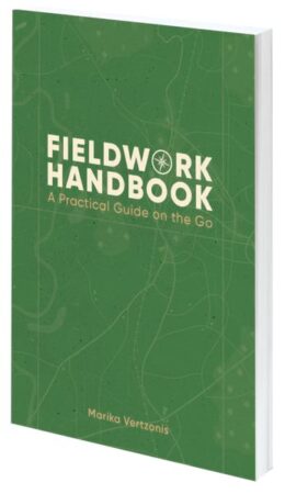
Fieldwork Handbook: A Practical Guide on the Go

Written by Marika Vertzonis
A biologist in a rainforest observing indigenous frogs, an engineer maintaining utility equipment, or a citizen scientist taking water samples from a creek—they’re all doing mobile work. Their work is anchored by location. No matter what electronic tools they take into the field, they all take a notebook or a guidebook. As you head into the field along with all your equipment, be sure to include this practical guide. Fieldwork Handbook: A Practical Guide on the Go provides tips, best practices, and activities that make your mobile work more productive and successful. No matter how you use location intelligence in the field, you can up your game with this book and improve your experience. Covering preparation, equipment, workflows, and data, this book teaches how to organize and reconcile field data, effectively coordinate and dispatch field resources, refine workflows, and sync the office with the field. Author and Esri product engineer Marika Vertzonis learned about geospatial technology in the field, and she explains what you need to know.
- March 2024. 200 pp.
- Ebook ISBN: 9781589487185
- Paperback ISBN: 9781589487178
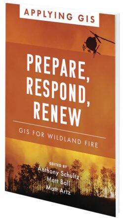
Prepare, Respond, Renew: GIS for Wildland Fire

Edited by Anthony Schultz, Matt Ball, and Matt Artz
A natural and necessary component of many ecosystems, wildfires can also claim lives, destroy structures, and devastate communities and landscapes. The increasing areas where development meets nature—and more days of hot and dry weather—have magnified the negative impact of wildfires. The response to and recovery from increasingly complex firestorms stress budgets, economies, communities, and environments. Responders use the latest GIS tools to analyze wildfires via data that can be modeled to visualize threats in real time. Prepare, Respond, Renew: GIS for Wildland Fire explores real-life stories about wildland fire agencies successfully using GIS technology for preparedness, mitigation, response, and recovery/rehabilitation workflows. GIS helps firefighters model how wildfires will spread depending on weather, geologic features, and human development. Using predictive analytics and mapping technologies, firefighters can model the direction and rate of spread of wildfire to give a community, a nature preserve, a fire department, or a homeowner time to prepare for or even prevent or help control the next wildland fire. As they identify priorities and reduce fire vulnerabilities, agencies can visualize, record, and track the status of their accomplishments in the field. The book also includes a section that provides ideas, strategies, tools, and actions to help jump-start your own use of GIS for wildland fire management. A collection of online resources, including additional stories, videos, new ideas and concepts, and downloadable tools and content, complements this book.
- March 2024. 120 pp.
- Ebook ISBN: 9781589487727
- Paperback ISBN: 9781589487703
Working Beyond Borders: GIS for Geospatial Collaboration

Edited by Dr. Jill Saligoe-Simmel and Maria Jordan
In today’s world, organizations face a multitude of problems that create an unprecedented need for tools to share information and work better together. In Working Beyond Borders: GIS for Geospatial Collaboration, readers will see how government, industries, and others are using location intelligence and GIS to interconnect people across jurisdictions and sectors to respond to some of the world’s most critical issues, such as climate change, sustainable development, racial equity, emergency management, conservation, and public health and safety. Readers will also see how organizations are integrating geospatial infrastructure to improve efficiency, drive innovation, and empower everyday decision-making in communities around the world.
- February 2024. 145 pp.
- Ebook ISBN: 9781589487635
- Paperback ISBN: 9781589487628

