Top 20 Essential Skills for ArcGIS Pro
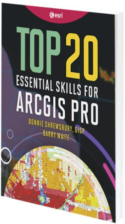
By Bonnie Shrewsbury and Barry Waite
Get on the fast track to using desktop GIS with Top 20 Essential Skills for ArcGIS Pro. The book, written at an introductory level, features simple, step-by-step exercises that teach readers how to work with spatial data, create maps, and perform basic analysis. Each chapter introduces a useful skill, lets readers practice it, and includes a user story to show how these competencies are used to answer important questions and solve real-world problems. By the end of the book, readers understand what ArcGIS Pro is and how to use it and can use their newfound knowledge to continue their GIS journeys.
- May/September 2023, 190 pp.
- Ebook ISBN: 9781589487512
- Paperback ISBN: 9781589487505
Spatial Statistics Illustrated
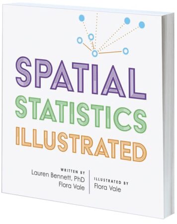
By Dr. Lauren Bennett and Flora Vale, illustrated by Flora Vale
Thanks to the vast amounts of data and incredible computational power that are now at people’s fingertips, data science has permeated nearly every aspect of life. But with so many algorithms and buzzwords floating around, it can be difficult to figure out where to start with solving complex problems. The good news is, there has never been a more exciting time to learn about spatial statistics, which employs geography to help quantify patterns, trends, and relationships. Spatial Statistics Illustrated helps readers learn the concepts behind the spatial statistics tools that are part of the ArcGIS system. Dr. Lauren Bennett and Flora Vale rely on approachable explanations and simple drawings to explain widely used spatial statistics methods, including how they work and when to use them.
- May/September 2023, 150 pp.
- Ebook ISBN: 9781589485716
- Paperback ISBN: 9781589485709
GIS Tutorial for ArcGIS Pro 3.1
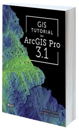
By Wilpen L. Gorr and Kristen S. Kurland
GIS Tutorial for ArcGIS Pro 3.1—the fifth edition in a series—is the book of choice for classroom-based and self-taught learners who seek to develop their expertise with Esri’s premier desktop GIS technology. Revised for ArcGIS Pro 3.1, the book features new datasets, exercises, and instructional text to guide readers through the latest tools and workflows. Authors Wilpen L. Gorr and Kristen S. Kurland use current, real-world scenarios to demonstrate how to make maps and find, create, and analyze spatial data using ArcGIS Pro and ArcGIS Online.
- May/September 2023, 370 pp.
- Ebook ISBN: 9781589487406
- Paperback ISBN: 9781589487390
Managing Our World: GIS for Natural Resources
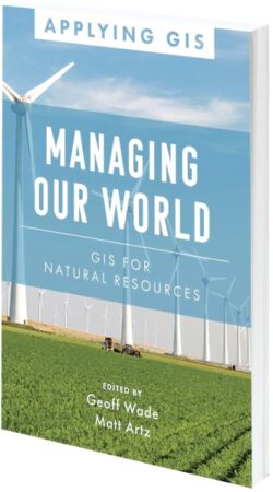
Edited by Geoff Wade and Matt Artz
In Managing Our World: GIS for Natural Resources, readers can explore how applying a geographic approach to managing natural resources boosts efficiency and advances sustainability. The book spotlights real organizations in the agriculture, forestry, mining, energy, pipeline, and renewable energy sectors that are using GIS to streamline workflows, gain competitive insight, improve their sustainability efforts, and more. It shows how these organizations are equitably balancing current demands for earth’s natural resources with preserving those resources for future generations. Examples in the book demonstrate how to increase profitability, improve environmental protections, and expand societal benefits while improving organizational efficiency.
- January/April 2023, 184 pp.
- Ebook ISBN: 9781589486898
- Paperback ISBN: 9781589486881
Finding a Sustainable Balance: GIS for Environmental Management
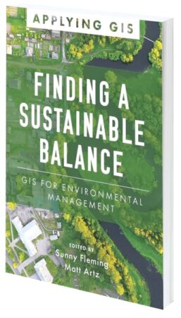
Edited by Sunny Fleming and Matt Artz
As humans continue to uncover and learn about the ecological challenges being faced by the planet, environmental and natural resource management jobs are becoming increasingly difficult. Finding a Sustainable Balance: GIS for Environmental Management shows how GIS can improve operations across land and wildlife management, outdoor recreation, and environmental regulation. The book is a collection of real-life stories about how several environmental and natural resource management organizations successfully use GIS to monitor environmental assets in real time, prevent environmental hazards from turning into disasters, and provide transparency that produces better outcomes for everyone.
- June/September 2023, 125 pp.
- Ebook ISBN: 9781589487598
- Paperback ISBN: 9781589487581
Designing Map Interfaces: Patterns for Building Effective Map Apps
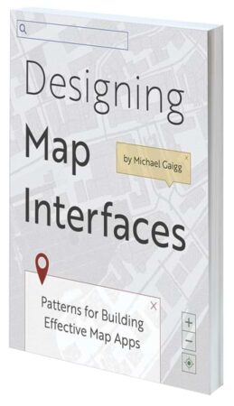
By Michael Gaigg
Designing Map Interfaces: Patterns for Building Effective Map Apps is the essential guide to creating geospatial app interfaces that are usable, efficient, and stunning. Whether configuring an out-of-the-box solution, building an app with an app builder, or working on a custom app project, readers can employ the book’s practical tips to assemble a meaningful user interface (UI). Intended for GIS professionals, solution engineers, developers, and designers, Designing Map Interfaces identifies several recurring problems in UI design and outlines specific UI patterns to employ to fix them.
- December 2022/March 2023, 173 pp.
- Ebook ISBN: 9781589487260
- Paperback ISBN: 9781589487253
Winn & Doug the Waterdrops: A Water Cycle and Wastewater Story

By Tim Olson and Rick Lohmann
Written for children in grades 1–5, Winn & Doug the Waterdrops: A Water Cycle and Wastewater Story shows kids where water comes from and what happens once it gets used. Part of a career-themed science, technology, engineering, arts, and mathematics (STEAM) picture book series, the book invites young readers to explore the different phases of Winn the Raindrop’s life through the water cycle, from vapor to runoff, before following Doug the Waterdrop to see how water gets cleaned after it is used. Perfect for encouraging critical and creative thinking and spatial analysis skills, Winn & Doug the Waterdrops highlights the incredibly important jobs that water resource engineers and wastewater operators have and how they make the world a better place. In-book activities and a glossary are included.
- April 2023, 56 pp.
- Ebook ISBN: 9781589487208
- Paperback ISBN: 9781589487192

