Local Voices, Local Choices: The Tacare Approach to Community-Led Conservation
By The Jane Goodall Institute; Introduction by Jane Goodall
Just as Jane Goodall’s work with chimpanzees has been transformative, so have her efforts to empower communities living on the edge of human settlement to protect their natural resources or risk losing them forever. Local Voices, Local Choices: The Tacare Approach to Community-Led Conservation details the Jane Goodall Institute’s holistic method for conservation, which puts local communities in charge of preserving the natural world around them. Working with science and technology and with support from conservationists, local residents learn to balance their needs with the surrounding ecosystems. Written for conservationists, fans of Goodall, and anyone interested in environmental issues, Local Voices, Local Choices is a vibrant expression of Goodall’s hope that the Tacare approach will be widely adopted. August 2022, 280 pp. Ebook ISBN: 9781589486478 and hardback ISBN: 9781589486461.

Protecting the People: GIS for Law Enforcement
Edited by John Beck and Matt Artz
Protecting the People: GIS for Law Enforcement is a collection of real-life stories about how law enforcement agencies have used GIS to improve crime analysis, streamline operations, practice open policing, and enhance field mobility. Through these accounts, the book illustrates how police departments and law enforcement organizations employ GIS to drive decision-making in everyday operations. August/November 2022, 114 pp. Ebook ISBN: 9781589487307 and paperback ISBN: 9781589487291.

Switching to ArcGIS Pro from ArcMap, Second Edition
By Maribeth H. Price
Switching to ArcGIS Pro from ArcMap, Second Edition, is the concise yet comprehensive source for getting existing ArcMap users up and running with ArcGIS Pro. Updated and tested for ArcGIS Pro 2.9, the book introduces readers to the ribbons, panes, and project-based structure of ArcGIS Pro. In 10 chapters, readers cover the most common and important workflows required to learn the ArcGIS Pro user interface while concentrating on one project for Crater Lake, Oregon. Author Maribeth H. Price’s more than 20 years of experience writing GIS textbooks shines through as she takes the frustration out of switching to a new desktop GIS software. July/August 2022, 168 pp. Ebook ISBN: 9781589487321 and paperback ISBN: 9781589487314.

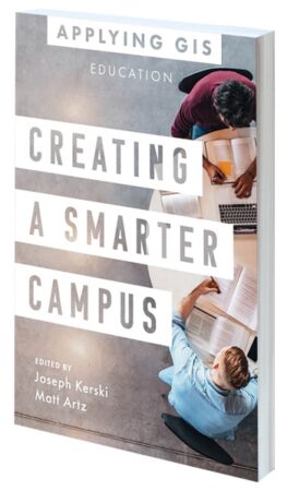
Creating a Smarter Campus: GIS for Education
Edited by Joseph Kerski and Matt Artz
GIS has a wide range of uses in the educational sphere. It provides educators with novel ways to teach problem-solving to tech-savvy learners. Researchers can employ GIS for data visualization and integration. IT professionals can use it to improve their cloud-based platform offerings. And administrators can wield the technology to visualize and manage everything from campus facilities to expansion opportunities. Creating a Smarter Campus: GIS for Education shows how educational institutions are actively integrating spatial reasoning and GIS technology into teaching, research, and management. August/December 2022, 170 pp. Ebook ISBN: 9781589487383 and paperback ISBN: 9781589487376.

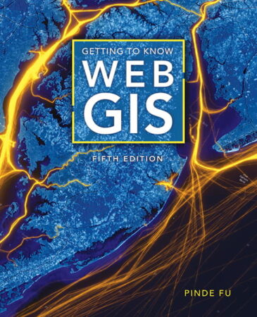
Getting to Know Web GIS, Fifth Edition
By Pinde Fu
As the capabilities of Web GIS continue to expand, Getting to Know Web GIS, Fifth Edition, keeps readers up-to-date on the scientific concepts and big-picture ideas behind cloud computing, along with the real-world applications of and tutorials for using the most current ArcGIS software and apps in the cloud. This edition covers the latest releases of ArcGIS Online, ArcGIS Pro, ArcGIS StoryMaps, and ArcGIS mobile apps. It gives readers hands-on experience with ArcGIS Experience Builder, ArcGIS Field Maps, ArcGIS Instant Apps, ArcGIS Image for ArcGIS Online, ArcGIS Velocity, and ArcGIS Mission. Author Pinde Fu also goes over the latest advancements in artificial intelligence (AI), virtual reality (VR), and spatial data science tools. This edition enables readers to work with 3D web scenes, analyze data using deep learning packages, program a triggered notification using a visual interface, and more. July 2022, 500 pp. Ebook ISBN: 9781589487284.

Esri Map Book, Volume 37
By Esri
Every year, Esri selects works from mapmakers around the world for the Esri Map Book to demonstrate how GIS helps governments, businesses, and residents solve problems and better understand the world. Volume 37 continues this tradition, showcasing maps and apps that use ArcGIS technology to evaluate the sustainability of resources, determine efficient transportation routes, mitigate the effects of natural disasters, and much more. Each map or app includes a description of its purpose and how it was produced. August 2022, 196 pp. Paperback ISBN: 9781589487109.

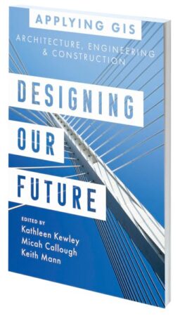
Designing Our Future: GIS for Architecture, Engineering, and Construction
Edited by Kathleen Kewley, Micah Callough, and Keith Mann
Location intelligence is changing how land development and large infrastructure projects take shape. Whether building a new residential complex or planning a high-speed rail system, taking a geographic approach generates better, more sustainable designs. Designing Our Future: GIS for Architecture, Engineering, and Construction shows how architects, engineers, and construction professionals implement GIS to improve workflows; bring context to large projects; and increase collaboration among governments, contractors, partners, and the public. July/October 2022, 120 pp. Ebook ISBN: 9781589487246 and paperback ISBN: 9781589487239.

Learning from COVID-19: GIS for Pandemics
Edited by Este Geraghty and Matt Artz
With the health community examining the worldwide response to the COVID-19 pandemic, it is time to think about how to raise the bar for responding to the next public health emergency. Now is the time to revisit health preparedness strategies and plans, review what worked to see how that can be done again, and put lessons learned into practice. Learning from COVID-19: GIS for Pandemics gives true examples of how spatial thinking became invaluable for both local and full-scale outbreaks of COVID-19. Answering the question of “where” was paramount, and when civic leaders and public health agencies used GIS to do real-time disease surveillance, it transformed overwhelming amounts of data into valuable location intelligence. June/August 2022, 204 pp. Ebook ISBN: 9781589487123 and paperback ISBN: 9781589487116.

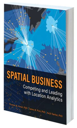
Spatial Business: Competing and Leading with Location Analytics
By Thomas A. Horan, James B. Pick, and Avijit Sarkar
In today’s global economy, business leaders need to know where to source materials, where to operate, and where to grow their customer bases. Spatial Business: Competing and Leading with Location Analytics shows how real organizations have designed, deployed, and managed GIS solutions to improve decision-making and add value in both strategic and operational ways. Written by experts in spatial business, the book provides managers, professionals, and students with a road map for realizing the potential of geospatial data across the entire business value chain. August/December 2022, 300 pp. Ebook ISBN: 9781589485341 and paperback ISBN: 9781589485334.

