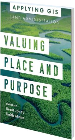
Valuing Place and Purpose: GIS for Land Administration

Edited by Brent Jones and Keith Mann
Location intelligence is changing the way people protect and maintain land. The stories in Valuing Place and Purpose: GIS for Land Administration show how various communities, government agencies, nonprofits, and other organizations are implementing GIS in four key areas: to visualize parcels and property; manage land use; strengthen climate and conservation efforts; and address land rights, equity, and social justice. The book includes a special section to help readers use web apps, online maps, dashboards, and other GIS solutions to better represent the value of land and property and more efficiently manage, edit, and share land parcel data. March/May 2022, 120 pp. Ebook ISBN: 9781589487079 and paperback ISBN: 9781589487062.
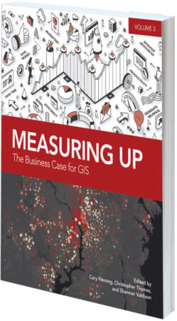
Measuring Up: The Business Case for GIS, Volume 3

Edited by Cory Fleming, Christopher Thomas, and Shannon Valdizon
After community-altering events, such as an economic downturn or a pandemic, how do government organizations maintain the quality of their day-to-day operations while solving big problems? Many turn to GIS. Measuring Up: The Business Case for GIS, Volume 3, presents real-world stories of how organizations utilize GIS to save time and money, increase accuracy, improve productivity, and manage resources. This collection operates as a model for how to work through considerable challenges and employ GIS not just as a tool but also as an integral part of the solution. February/May 2022, 200 pp. Ebook ISBN: 9781589486256 and paperback ISBN: 9781589486249.
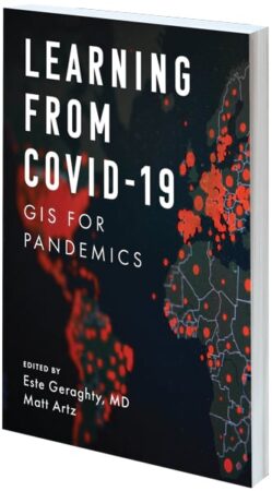
Learning from COVID-19: GIS for Pandemics

Edited by Este Geraghty and Matt Artz
With the health community examining the worldwide response to the COVID-19 pandemic, it is time to think about how to raise the bar for responding to the next public health emergency. Now is the time to revisit health preparedness strategies and plans, review what worked to see how that can be done again, and put lessons learned into practice. Learning from COVID-19: GIS for Pandemics gives real examples of how spatial thinking became invaluable for both local and full-scale outbreaks of COVID-19. Answering the question of “where” was paramount, and when civic leaders and public health agencies used GIS to do real-time disease surveillance, it transformed overwhelming amounts of data into valuable location intelligence. September/October 2022, 175 pp. Ebook ISBN: 9781589487123 and paperback ISBN: 9781589487116.
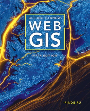
Getting to Know Web GIS, Fifth Edition

By Pinde Fu
As the capabilities of Web GIS continue to expand, Getting to Know Web GIS, Fifth Edition, keeps readers up-to-date on the scientific concepts and big-picture ideas behind cloud computing, along with the real-world applications of and tutorials for using the most current ArcGIS software and apps in the cloud. This edition covers the latest releases of ArcGIS Online, ArcGIS Pro, ArcGIS StoryMaps, and ArcGIS mobile apps. It gives readers hands-on experience with ArcGIS Experience Builder, ArcGIS Field Maps, ArcGIS Instant Apps, ArcGIS Image for ArcGIS Online, ArcGIS Velocity, and ArcGIS Mission. Author Pinde Fu also goes over the latest advancements in artificial intelligence (AI), virtual reality (VR), and spatial data science tools. This edition enables readers to work with 3D web scenes, analyze data using deep learning packages, program a triggered notification using a visual interface, and more. July 2022, 500 pp. Ebook ISBN: 9781589487284.

