Local Voices, Local Choices: The Tacare Approach to Community-Led Conservation
By The Jane Goodall Institute, Introduction by Jane Goodall
Just as Jane Goodall’s work with chimpanzees has been transformative, so have her efforts to empower communities living on the edge of human settlement to protect their natural resources—or risk losing them forever. Local Voices, Local Choices: The Tacare Approach to Community-Led Conservation details the Jane Goodall Institute’s holistic method for conservation, which puts local communities in charge of preserving the natural world around them. Working with science and technology and with support from conservationists, local residents grow to understand the impact they have on the environment and are empowered to find ways to balance their communities’ needs with the surrounding ecosystems. Written for conservationists, fans of Goodall, and anyone interested in environmental issues, Local Voices, Local Choices is a vibrant expression of Goodall’s vision and her hope that the Tacare approach will be understood and adopted wherever there is a need for genuine, community-driven conservation. August 2022, 280 pp. Ebook ISBN: 9781589486478 and hardback ISBN: 9781589486461.

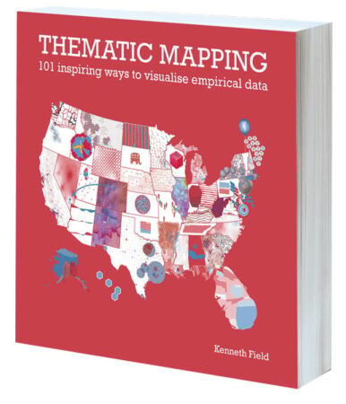
Thematic Mapping: 101 Inspiring Ways to Visualise Empirical Data
By Kenneth Field
Maps are rarely right or wrong; they are simply different versions of the truth. The meaning people find in a map can reinforce or challenge their understanding, and people are much more likely to trust a map if it presents a version of the truth that they already believe in. Using 101 maps, graphs, charts, and plots of the 2016 presidential election in the United States, Thematic Mapping: 101 Inspiring Ways to Visualise Empirical Data explores the rich diversity of thematic mapping and the visual representation of data. Each map illustrates a different approach to the same data, and all lead to different maps and different ways of seeing different shades of truth. August 2021/March 2022, 296 pp. Ebook ISBN: 9781589485587 and paperback ISBN: 9781589485570.

Mapping the Nation: Navigating Complex Challenges
By Esri
In this current time of crisis, governments that embrace GIS reap great value from it. Mapping the Nation: Navigating Complex Challenges is an annual compilation of inspiring stories about how government organizations use GIS. This year’s book focuses on the many ways geospatial technology helps solve issues related to a range of challenges, from population growth to public safety. It showcases, for example, how cities across the United States have used GIS to examine and understand who they serve—and who they leave out—as they adjust their budgets to address inequities. The book also highlights how states and other localities have used the technology to address and forecast economic hardship and plan for contingencies and recovery. March 2022, 188 pp. Paperback ISBN: 9781589487154.

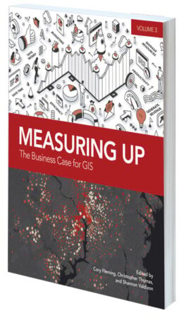
Measuring Up: The Business Case for GIS, Volume 3
Edited by Cory Fleming, Christopher Thomas, and Shannon Valdizon
After community-altering events, such as an economic downturn or a pandemic, how do government organizations maintain the quality of their day-to-day operations while solving big problems? Many turn to GIS. Measuring Up: The Business Case for GIS, Volume 3, presents real-world stories of how organizations utilize GIS to save time and money, increase accuracy, improve productivity, and manage resources. Readers can use this collection as a model for how to work through considerable challenges and employ GIS not just as a tool but as an integral part of the solution. February/May 2022, 200 pp. Ebook ISBN: 9781589486256 and paperback ISBN: 9781589486249.

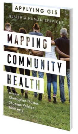
Mapping Community Health: GIS for Health and Human Services
Edited by Christopher Thomas, Shannon Valdizon, and Matt Artz
For many public health service agencies, the ability to build healthier communities, increase access to health care, and improve people’s health outcomes relies, in large part, on using GIS. Mapping Community Health: GIS for Health and Human Services showcases health organizations that are employing location technology to address issues such as the opioid epidemic, homelessness, food insecurity, and health and racial inequities. The book suggests strategies to help readers get started with using GIS for health and human services. December 2021/March 2022, 120 pp. Ebook ISBN: 9781589487000 and paperback ISBN: 9781589486997.

Learning from COVID-19: GIS for Pandemics
Edited by Este Geraghty and Matt Artz
With the health community now examining the worldwide response to the COVID-19 pandemic, it’s time to think about how to raise the bar for responding to the next public health emergency. Now is the time to revisit health preparedness strategies and plans; now is the time to review what worked to see how that can be done again; now is the time to put lessons learned into practice. Learning from COVID-19: GIS for Pandemics gives real examples of how spatial thinking became invaluable for both local and full-scale outbreaks of COVID-19. Answering the question of “where” was paramount, and when civic leaders and public health agencies used GIS to do real-time disease surveillance, it transformed overwhelming amounts of data into valuable location intelligence. September/October 2022, 175 pp. Ebook ISBN: 9781589487123 and paperback ISBN: 9781589487116.

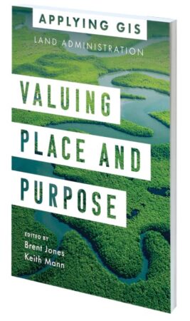
Valuing Place and Purpose: GIS for Land Administration
Edited by Brent Jones and Keith Mann
Location intelligence is changing the way people protect and maintain land. The stories in Valuing Place and Purpose: GIS for Land Administration show how various communities, government agencies, nonprofits, and other organizations are implementing GIS in four key areas: to visualize parcels and property; manage land use; strengthen climate and conservation efforts; and address land rights, equity, and social justice. The book includes a special section to help readers use web apps, online maps, dashboards, and other GIS solutions to better represent the value of land and property and more efficiently manage, edit, and share land parcel data. March/May 2022, 120 pp. Ebook ISBN: 9781589487079 and paperback ISBN: 9781589487062.

