Esri partners around the world are implementing web GIS in their organizations to help users be more effective and make smart decisions faster. These are just a few examples of the solutions Esri partners offer across various industries.

A Better View of Electricity and Gas Assets
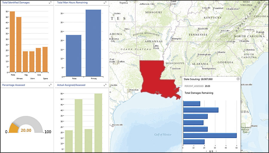
Utilities rely on field operations to manage their essential networks. Giving field crews timely information about a network and its assets is vital. EpochField, a mobile app from Epoch Solutions Group, helps fieldworkers in the electric and gas industries visualize their network’s asset and pipeline data. The app’s synchronization capabilities allow fieldworkers to see maps and data whether or not they are connected to the Internet, enabling field crews to do better asset inspections and damage assessments. The app’s sharing capabilities—made possible by Esri’s portal and server architecture—also provide the head office with more timely information, empowering everyone to make better decisions. Learn more.

A Spatial Framework for Pipelines
Pipeline organizations often find it challenging to gain access to reliable asset information. That is why Intrepid 4.0 Pipeline Management, from Novara GeoSolutions, makes it easy to store, organize, and manage vital pipeline information in a spatial framework. Intrepid provides mapping presentations, extensions, templates, mobile solutions, and interfaces that can be configured to meet a range of needs. With the ArcGIS platform at its core, Intrepid helps users maintain and analyze data at an enterprise level, as well as access information from any industry database, including the Pipeline Open Data Standard (PODS), the Utility and Pipeline Data Model (UPDM), and the ArcGIS Pipeline Data Model (APDM). Learn more.

Validating Critical Facility Decisions
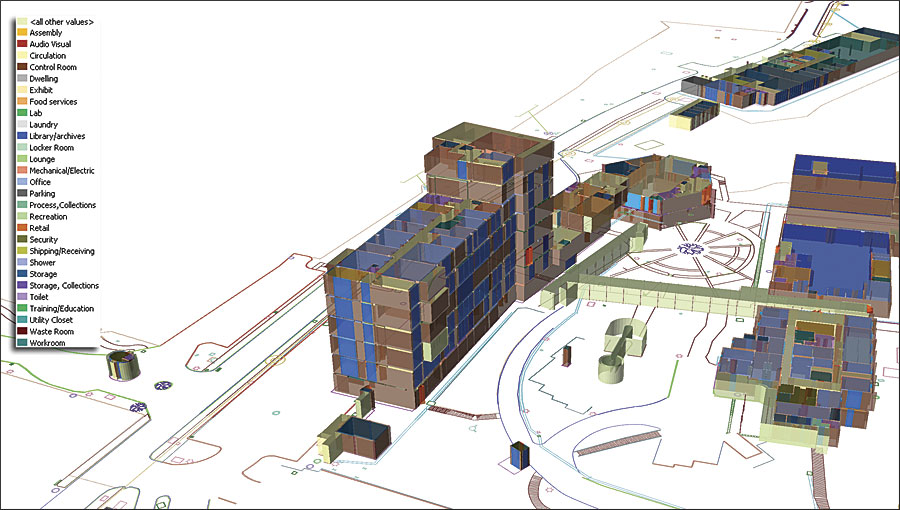
Facility teams have to make accurate decisions quickly, and those decisions need to be based on precise information about buildings, assets, people, events, and infrastructure. With this in mind, PenBay Solutions developed the InVision software suite, which brings GIS to facilities management and public safety. Using InVision, facility managers and safety and security teams can leverage their data spatially to find answers fast and validate critical decisions. Built on the ArcGIS platform, InVision is an integrated, scalable solution that helps users resolve key facility life cycle issues—from maintenance, security, and daily tactical operations to space management and move planning. Learn more.

