ArcGIS AllSource Integrates Disparate Information Sources to Facilitate Advanced Analytics
For intelligence organizations and agencies that manage and respond to national security, defense, public safety, and corporate security threats and incidents, their always-evolving missions are complex. Staff are expected to gather and analyze increasing amounts of data—often with limited resources—to tackle dynamic situations efficiently and precisely.
To ensure that threats are accurately identified, disrupted, and overcome, organizations like these need intelligence analysis software that works how they work. ArcGIS AllSource, a new desktop app from Esri being released in March, is built with intelligence analysts’ workflows in mind. And it requires minimal experience with GIS.

AllSource fuses location- and time-based data to help analysts working in law enforcement, the military, civilian intelligence agencies, and the private sector discern patterns and relationships in their intelligence flows. It can be used as a stand-alone product in connected or disconnected environments, and it integrates with other Esri products, including ArcGIS Enterprise; ArcGIS Mission; ArcGIS Excalibur; and the new ArcGIS Video Server, which enables users to index, search, and publish video services with geospatial and temporal context.
Several organizations are already using AllSource to identify threats to security, safety, and supply chains; investigate fraud, waste, and abuse; and combat other criminal activities. The app’s intuitive display makes it easier for analysts to integrate structured and unstructured data, imagery, video, and many other data sources so they can conduct advanced analyses and develop actionable intelligence about the incidents they’re responding to.
The key features of AllSource revolve around integrating disparate data, producing and sharing advanced analysis, and scaling the app so it matches each mission’s unique needs.
Synthesizing All Sources of Information
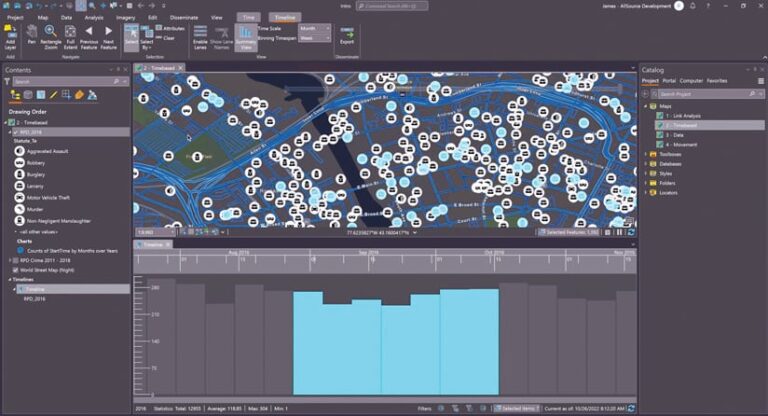
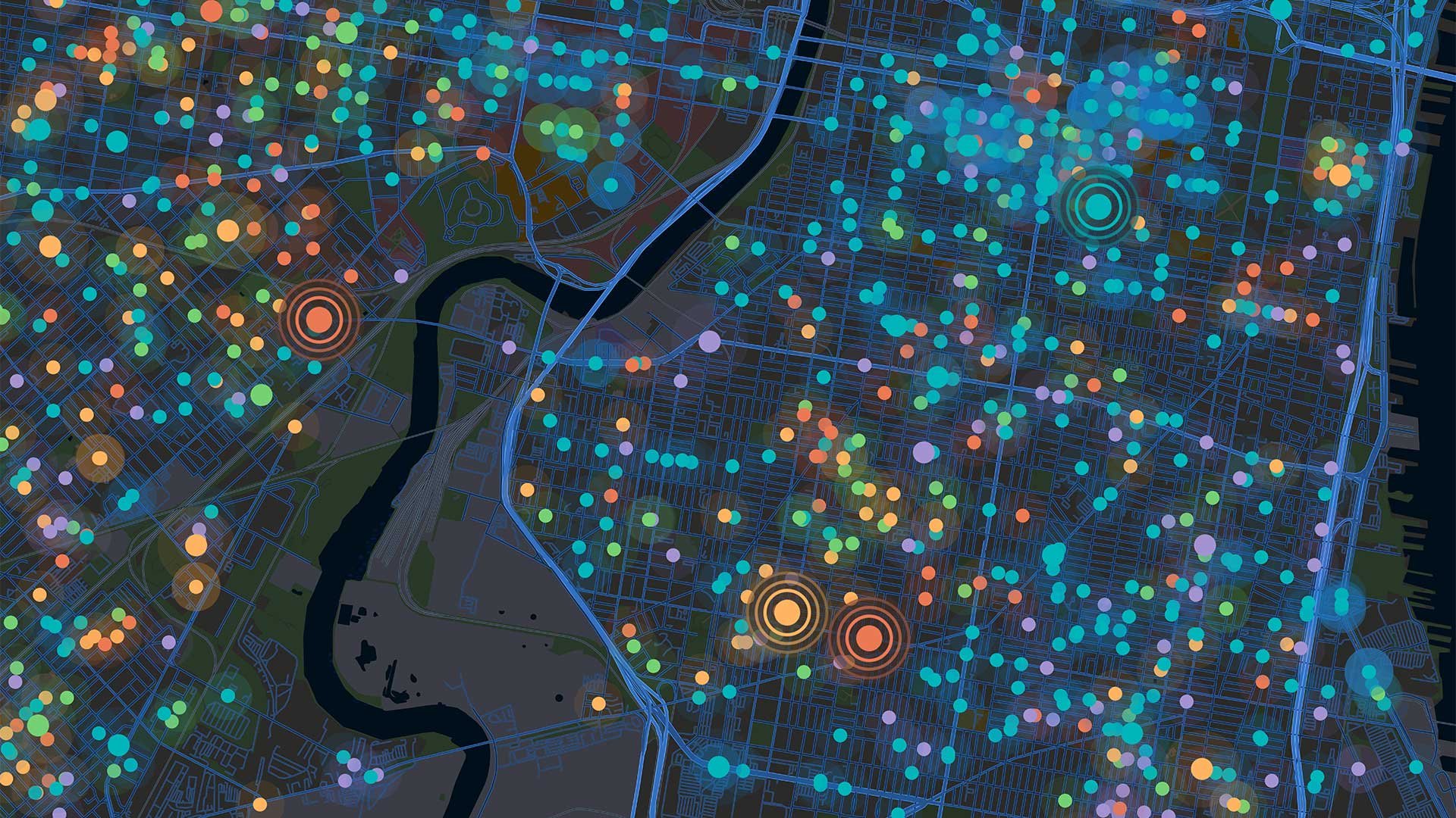
The amount of data in intelligence flows is only increasing, so being able to quickly process various data types to uncover connections is important. AllSource helps intelligence analysts explore all their sources of information—from structured and unstructured data to imagery and videos—and develop understanding through rich visuals. The desktop app has tools to perform imagery exploitation and link analysis, make and explore 2D and 3D maps, build and dissect timelines, and more. It can assist analysts in identifying key people, places, events, relationships, and patterns in an investigation.
Streamlining Analysis Production
Intelligence analysts must generate timely, relevant, and accurate insight for decision-makers. AllSource streamlines the process of turning raw information into high-quality intelligence products that stakeholders can easily view and comprehend. Final assessments can be presented as web-based or printable products, including maps, dashboards, and reports. These can also be integrated with other business systems, such as Microsoft SQL Server and SAP HANA. Additionally, analysts can share best practices and workflows with their colleagues by creating project templates in AllSource. This ensures that everyone working on a case adheres to the same systems and standards.

Scaling to the Mission
AllSource scales to support a range of mission sets, from conducting movement analysis to understanding patterns of life. To combat human trafficking, for instance, analysts can use AllSource to pinpoint where possible victims and their traffickers are—not only in space but also in time. The timeline tool in AllSource parses out individuals into separate timelines so that their movements can be compared across space and time. Selecting a portion of the timeline can highlight any overlap in two individuals of interest, both in the timeline and on a map. In another example, when it comes to investigating where legal supply chains of opioids are being broken to divert the drugs for illicit use, auditors can use AllSource to track down irregularities in the spatial connections among physicians’ offices, pharmacies, and beneficiaries. Auditors can analyze and visualize the data in multiple ways—including as maps, charts, and timelines—to identify outliers that indicate possible fraudulent activity.
Controlling Data, Analytics, and Workflows
AllSource is completely integrated within an organization’s ArcGIS infrastructure, which facilitates cross-platform collaboration while also ensuring that the organization maintains control of its data. The desktop app works in harmony with ArcGIS Enterprise and supports established standards for data sharing, security, and interoperability. Additionally, AllSource functions wherever analysts need it to, whether at headquarters on an internal network or in the field in a disconnected environment.
How to Get Started
The Early Adopter Community program for ArcGIS AllSource is up and running and will be available until the product’s initial release this March. The program allows Esri partners and users to gain insight into the early stages of product design and development. Find out more about the Early Adopter Community and join it.
AllSource will be introduced at the Esri Federal GIS Conference, being held in Washington, DC, February 7–8. Attendees will be able to learn about the product, participate in workshops, and connect with the product team at technical development workshops and in the ArcGIS Product Teams showcase.
Learn more about AllSource and stay up-to-date on the latest offerings.

