New City of Tucker Shares Information with Citizens, Saves Time for Employees
Just outside of Atlanta, Georgia, lies the one-year-old City of Tucker. Home to 33,000 people, the community had been unincorporated for 124 years.

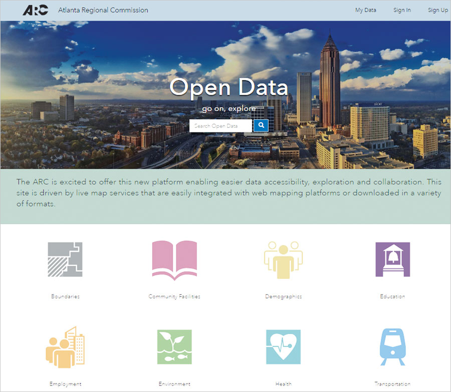
At the city’s onset, Tucker developed an open data site that would give citizens direct access to information, saving clerks the time it takes to process data requests. The city worked with the Atlanta Regional Commission (ARC) to be included in a broader open data initiative taking place across the region.
The ARC is the planning and intergovernmental coordination agency for a 10-county area. It works to bring together the region’s collective resources through professional planning initiatives, information sharing, and community collaboration. The ARC handles a significant amount of GIS data and uses ArcGIS Open Data to share it with local governments, planning partners, consultants, and the public.
At one of the ARC’s quarterly GIS meetings, Chris Rice, the GIS analyst for the City of Tucker, learned about ArcGIS Open Data. He later attended a workshop hosted by the ARC that showed him how to set up an open data site for his city.
“For Tucker, we realized an open data site would make work more efficient in terms of time for the citizens, the city clerks, and the GIS professionals,” Rice said. “It also keeps every city within the ARC consistent in how we manage and share data.”
Rice said the City of Tucker chose ArcGIS Open Data because it is easy to use and plugs right into the city’s other web services. It took him one week, working on the open data site for a couple of hours each day, to set up the City of Tucker Open Data site. The site—which received hundreds of hits the day it went live—hosts data related to boundaries, planning, zoning, code enforcement, and business licensing.
“I’ve already saved more time than it took me to build our Open Data site,” said Rice. “Anytime someone asks the mayor or city manager for data—for example, a developer who needs zoning information to redevelop a certain part of the city—our officials can simply share a link to that information on our Open Data site. If anything changes, the site will update automatically.”
The City of Tucker Open Data site helps citizens figure out whether their address falls within the boundaries of the new city. It also assists people who are interested in applying for a business license.

Ryan Barrett, senior GIS analyst with ARC, is excited to see member jurisdictions join the platform.
“Open data is a core principle in the pursuit of easier data accessibility, collaboration, and innovation,” he said. “The ARC Open Data site makes it so easy to dynamically engage with our data in a variety of formats like never before. As an early adopter, we realized what a catalyst this could be in our effort [to build] regional open data.”
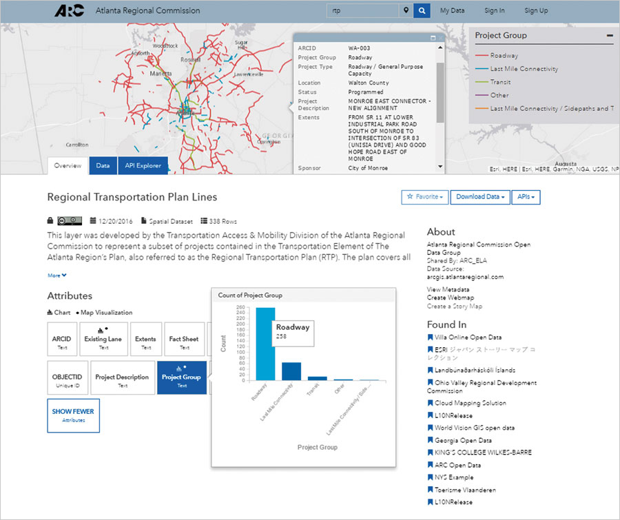
The ARC’s Open Data site publishes information ranging from short-term transportation projects to long-range population and employment forecasts. Analytics on the site shows about 1,000 unique users per month. Since its launch in February 2015, the site has seen more than 18,000 unique visitors, 172,000 page views, and nearly 19,000 GIS downloads.
“So many people can find what they need on our site because it’s easy to use, and the responsive design works on any smartphone or computer,” Barrett said. “Given the ease of use of the site and streamlined workflows, we’ve realized time and money savings.”
View the City of Tucker’s Open Data site and explore data, web maps, and apps published by ARC and other jurisdictions across the region.

