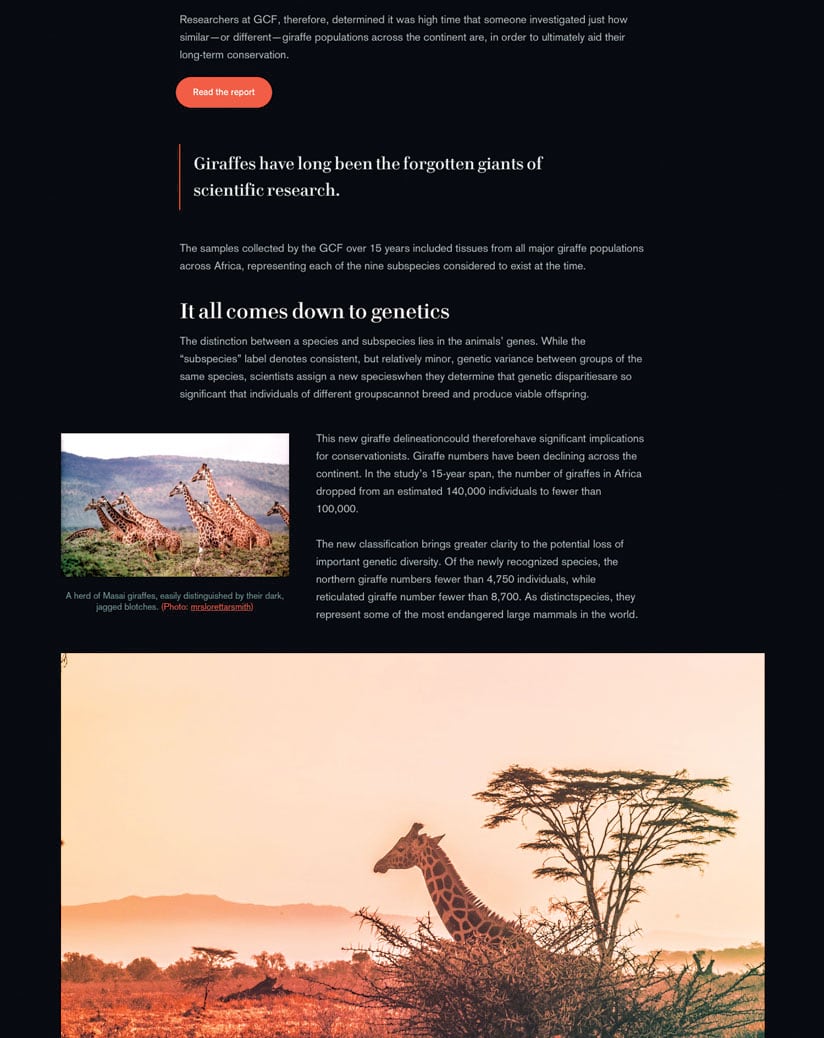
On a typical weekday, the Esri community generates well over 1,000 story maps, and within the last eight years, users have created more than 800,000 of these map-based stories. Nonprofits use story maps to inform the public about their work and rally support for their causes. Students create story maps as alternatives to conventional research projects. Public information officers use them to disseminate emergency information, and public relations professionals employ story maps to get the word out about events and trends. People from all over the world share countless mapped stories on social media each day. And the Esri Story Maps Gallery features hundreds of exemplary story maps on topics ranging from how China attracts investors and a tour of famous baseball park foods to the history of fighting for fair housing in the United States and an in-depth look at the influx of Rohingya refugees in Bangladesh.

With such widespread use and an ever-increasing corps of storytellers, Esri decided it was time to refresh and renew its storytelling tools. Esri is releasing a beta version of ArcGIS StoryMaps, which delivers a more elegant and streamlined experience for making and sharing story maps.
Some of the major improvements in ArcGIS StoryMaps include the following:

Express Mapmaking
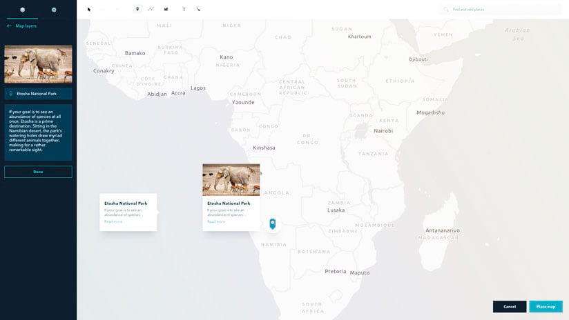
Although resources like ArcGIS Living Atlas of the World provide rich map content, people without GIS skills often find it difficult to create basic maps. ArcGIS StoryMaps incorporates an easy-to-use map creator right in the builder that enables users to quickly make beautiful custom maps that match the look and feel of the rest of their story.
A Single Builder with Many Looks
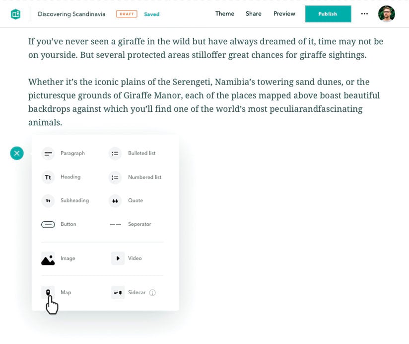
Instead of having to choose from eight types of story maps—such as Cascade, Journal, and Tour—before getting started, users can now take advantage of a single builder to create any story map they want. With a variety of content blocks to choose from, users can arrange the elements of their story in whatever order they prefer. Having this flexibility in a unified builder boosts productivity and enables users to more effectively combine media types and layouts to best communicate with their audiences.
Anyone Can Be a Storyteller
According to Allen Carroll, Esri’s program manager for storytelling, the most exciting thing about ArcGIS StoryMaps is how many more storytellers it will empower. “Whether you’re a designer, an adventurer, a communications professional, an educator, a researcher, or a world citizen, ArcGIS StoryMaps is accessible—even if you have no idea what GIS is about,” he said. “It is opening up the possibilities of place-based storytelling to millions of new users and potentially introducing even more people to the power and potential of GIS.”

Try the Beta Version
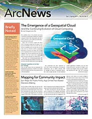
The ArcGIS StoryMaps beta is available now, with the public release anticipated in mid-2019. Get more information and sign up for the beta program.

