Big changes are coming to ArcGIS Online this year as the cloud-based platform deepens its use of Esri’s next generation JavaScript API, taking advantage of its rich capabilities and improved performance. Version 4.x of ArcGIS API for JavaScript enables fast and dynamic visualization; offers a collection of newly designed tools to build an elegant user experience; and has improved accessibility and 3D visualization. Although Scene Viewer has always used the 4.x API, newer configurable apps are built with the updated JavaScript API, and Map Viewer and Web AppBuilder for ArcGIS will also be rearchitected with version 4.x.
Improved Pop-Ups
The 4.x API provides additional visualization options for pop-ups. For instance, viewers can choose to dock pop-ups in the corner of the map. Every time a pop-up is clicked, it will appear in the same spot. This can help viewers get pop-ups out of the way when they’d like to interact with the map. This is available in all configurable apps built with the 4.x API.
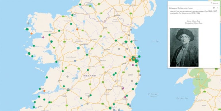
It is also now possible for users to display pop-ups by simply pointing to a feature. Data can be explored faster, and it simplifies the viewer’s experience by eliminating the need to click on a feature to see the pop-up. The pop-ups can be docked in the corner of the map or allowed to float near the feature. These pop-up functions are currently available in the Media Map configurable app.
3D Visualization and Analysis
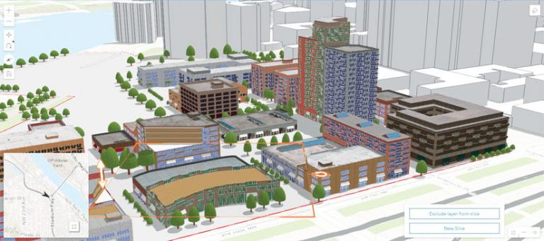
Users can now enable 3D visualization and analysis using the Scene with Inset Map and Compare configurable apps. These apps, built with the 4.x API, include 3D measurement tools that calculate area and length. The Slice tool gives viewers the opportunity to slice 3D objects, which temporarily suppresses portions of the scene to expose hidden content and perspectives.
Support for Arcade
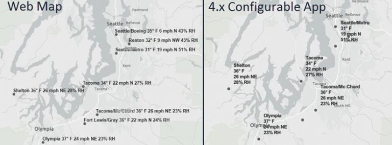
ArcGIS Arcade, the ArcGIS platform expression language, transforms your data on the fly, without leaving the map. Arcade is extremely versatile: it can be used to convert field types; calculate new fields; rotate symbols; and customize pop-ups, labels, symbology, and transparency. For example, users can construct Arcade expressions to concatenate labels, making them display in multiple lines rather than in one long line. All configurable apps built with the 4.x API support Arcade.
Customizable Legends
Users can customize legends to meet their visual and interactive preferences. Two legend styles are now possible: card and default. The card style displays items in horizontal bars, and the default style displays items in a vertical list. The card style is more compact, and the information that exceeds the allotted space is moved to the next card and can be accessed by toggling.
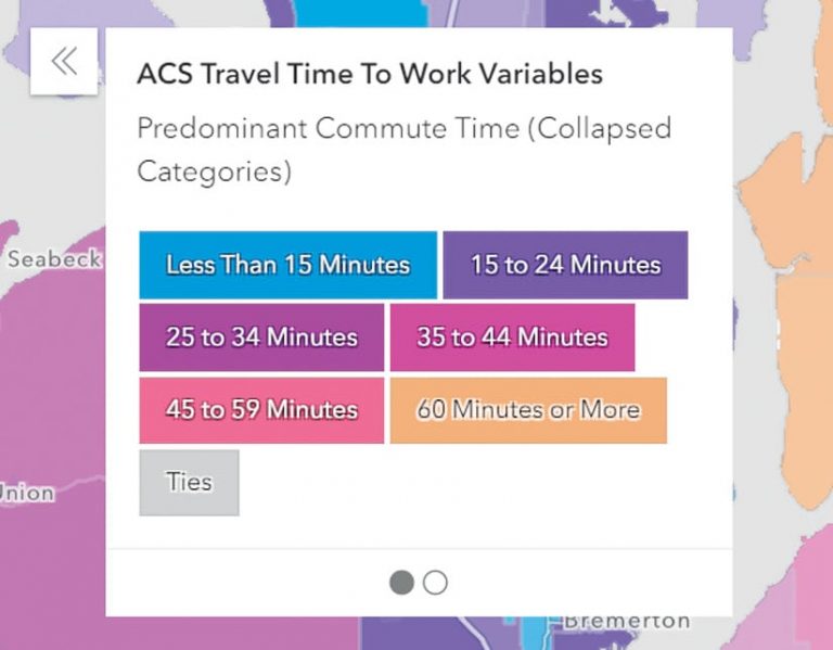
Give viewers the opportunity to explore the map’s data using an interactive legend. Users can choose which data to display by clicking different items within the legend. This feature is available only in the Interactive Legend configurable app.
Mobile Friendly
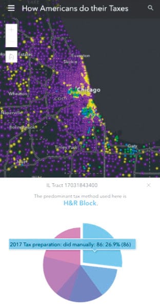
People frequently use maps and apps on their mobile devices, making responsiveness key. The 4.x API provides an optimal user experience, regardless of screen size or device. For example, when viewing a map on a small screen, the legend automatically docks on the bottom of the screen. This provides a clear view of both the map and the legend. When a user clicks a pop-up, the feature is highlighted and the pop-up docks at the bottom of the screen. Not only can viewers clearly see the details within the pop-up, but they can also interact with the data.
Wide Accessibility
Esri continually strives to improve its interfaces through good design and coding practices to ensure that the content created with the software is usable by as many people as possible. Also, many Esri customers must be Section 508 or WCAG 2.0 compliant, which requires technology that is accessible to people with disabilities. The 4.x API brings enhanced accessibility for people with disabilities, allowing viewers to navigate the map and select app tools with their keyboards. Labels or instructions are also provided when viewers need to input information.
