Esri Solution Enhances the Power of Spatial Data

ArcGIS for Aviation is a new solution to support users in the aeronautical information management, air navigation service provider, and airport markets. This solution enables users to create, manage, review, and share aviation data. ArcGIS for Aviation includes ArcGIS for Aviation: Charting and ArcGIS for Aviation: Airports. Together, these products provide a comprehensive geospatial platform for aeronautical chart production and airport operations data management:
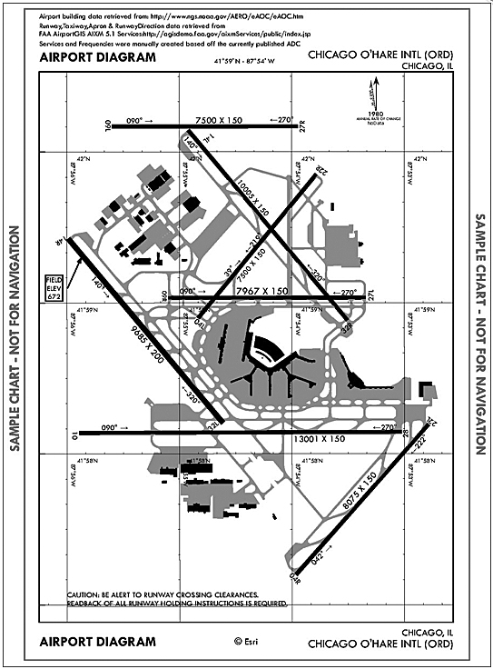
ArcGIS for Aviation: Charting (previously Esri Aeronautical Solution) improves, standardizes, and increases data and workflow management by allowing standards-based aeronautical data to be captured, maintained, and managed in a centralized database. With it, users can produce standardized and customized electronic and paper aeronautical charts.
ArcGIS for Aviation: Charting provides the ability to do the following:
- Significantly reduce chart production times via automated batch cartographic processing
- Share data within the aeronautical community using the Aeronautical Information Exchange Model (AIXM) standard
- Enhance data quality through direct loading of digital changes and automating change verification
ArcGIS for Aviation: Airports assists airports and their consultants in complying with data management and quality standards, such as the Federal Aviation Administration’s (FAA) Airport Surveying—GIS program. It provides tools, templates, and analysis functionality that introduce efficiencies and new capabilities into the planning, maintenance, and day-to-day operations of airports.

ArcGIS for Aviation: Airports allows organizations to do the following:
- Efficiently collect and manage airport data using a fully implemented airport data model based on the Advisory Circular 150/5300-18 standard
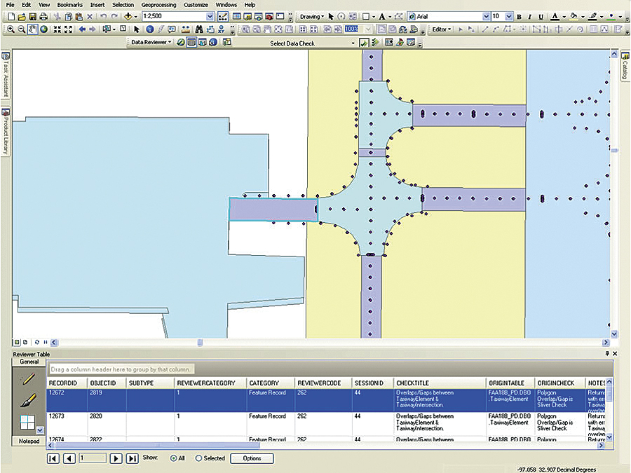
- Improve airport data quality and compliance via automated validation against a preconfigured rule base of more than 450 data checks
- Automatically generate 3D Obstacle Identification Surfaces for planning and analysis against obstacle datasets
“GIS is used across all sectors of aviation, but each sector has unique requirements,” says Bruce Frank, Esri’s ArcGIS for Aviation program manager. “ArcGIS for Aviation provides our aeronautical information management and airport customers with an optimized solution for their unique business needs.”
ArcGIS for Aviation is part of the ArcGIS platform to solve problems and gain efficiencies for civil, military, and commercial aeronautical agencies, airports, consultants, and related businesses. It enables organizations to manage aviation data, products, services, workflows, and quality. The platform provides significant efficiencies for creating and maintaining aviation data according to industry standards to support chart production, airspace analysis, airport operations, and regulatory compliance.
For more information on the ArcGIS for Aviation platform, contact aero@esri.com or visit esri.com/arcgisforaviation. Users in countries outside the United States should contact their local distributor.

