Cartography—the art and science of mapmaking—has long been a cornerstone of human civilization. It shapes how people perceive the world, navigate their environments, and communicate complex spatial information.
In the digital age, cartography has undergone a seismic transformation, integrating advanced technologies such as GIS, remote sensing, and machine learning. Despite this evolution, the educational frameworks that support cartography have not kept pace. In many regions, cartographic education remains fragmented, outdated, or undervalued.
But there are ways to modernize cartographic curricula and ensure that students are well prepared to practice cartography in today’s digital world. The International Cartographic Association (ICA) and several universities are charting a new way forward.
The Challenges of Cartographic Education
Cartography lies at the intersection of art, science, and technology, making it inherently interdisciplinary. This complexity, however, has often been a double-edged sword.

Many educational institutions struggle to position cartography within their academic frameworks. As a result, cartography is frequently subsumed under broader disciplines like geography, computer science, or environmental studies. While this integration can be beneficial, it often dilutes the specialized focus that modern cartography demands.
One significant challenge is the lack of standardization in cartographic education. Programs vary widely in their scope and depth, with some emphasizing traditional methods while others focus on cutting-edge technologies. This inconsistency leaves students and professionals ill-prepared to meet the demands of a rapidly evolving field.
Another pressing issue is the limited availability of specialized cartographic programs. In many countries, formal education in cartography is restricted to a handful of universities or technical institutions. This scarcity exacerbates regional disparities, leaving many aspiring cartographers with limited access to high-quality training.
Additionally, cartography is persistently underappreciated as a distinct discipline. Maps are ubiquitous in daily life, but how they are created and interpreted often go unexamined. This invisibility contributes to a lack of investment in cartographic education and research, perpetuating a cycle of neglect.
Finally, the rapid pace of technological advancements has outstripped many educational institutions’ ability to update their curricula. Emerging technologies like AI, augmented reality (AR), and real-time geospatial data processing are reshaping cartography. Yet these innovations are often absent from traditional cartographic education, leaving many graduates unable to leverage these tools effectively in their careers.
In this context, the ICA is playing a critical role. Its Commission on Education and Training, for example, facilitates the exchange of knowledge, develops educational resources, and organizes workshops and conferences to bridge gaps in cartographic curricula. By promoting best practices and fostering collaboration among educators, researchers, and practitioners, the ICA is contributing to the modernization and standardization of cartographic education. These efforts help the discipline remain robust and responsive to global issues.
A Model Educational Program
Amid these challenges, the International Master of Cartography program stands out as a model of innovation and excellence. This joint initiative offered by four leading European universities—Technische Universität München in Germany, Technische Universität Wien in Austria, Technische Universität Dresden in Germany, and the University of Twente in the Netherlands—addresses many of the shortcomings in traditional cartographic education.
The program is explicitly designed to provide a comprehensive and modern education in cartography. Its curriculum combines theoretical foundations with practical applications, ensuring that students develop both a conceptual understanding of cartography and the technical skills to create maps. Core courses cover topics such as geovisualization, spatial data science, cartographic design, and web mapping. Additionally, students are exposed to emerging technologies such as 3D mapping, big data analytics, and interactive cartography.
One of the program’s distinguishing features is its emphasis on international collaboration and cultural exchange. Students from around the world come together to learn from a diverse faculty, fostering a global perspective on cartography. This international approach is particularly valuable in a field that operates across geographic and cultural boundaries.
The program also integrates real-world projects and internships, bridging the gap between academia and industry. Students get to work with leading organizations, gaining hands-on experience and building professional networks. This practical orientation ensures that graduates are well equipped to meet the demands of the modern workforce.
The International Master of Cartography is a testament to the importance of interdisciplinary education. By drawing on expertise from multiple universities and disciplines, the program reflects the multifaceted nature of cartography. It serves as a reminder that no single institution or field alone can address the complexities of modern cartography. (View more information about the program.)
A Sample Modern Curriculum
To address the challenges facing cartographic education and build on successful models such as the International Master of Cartography, a concerted effort is needed to modernize curricula worldwide. A modern curriculum should be based on a triangle of competencies, balancing three essential skill areas: design knowledge, data management skills, and technological expertise. This approach ensures that students are not only adept at creating visually compelling maps but that they can also handle complex datasets and leverage state-of-the-art technologies. If programs can achieve this balance, graduates will be equipped to address the multifaceted challenges of modern cartography.
A sample curriculum could look like this:
- Foundations of Cartography would introduce the principles, history, and theory of cartography. There would be an emphasis on map design, communication, and user-centered approaches.
- Geovisualization and Data Representation would demonstrate techniques for visualizing spatial data, including thematic and interactive mapping. This course would integrate storytelling with data visualization.
- Spatial Data Science would teach the fundamentals of spatial statistics, geospatial data processing, and machine learning. Students would get hands-on practice with tools like Python, R, and GIS platforms.
- Web and Mobile Cartography would teach students how to develop interactive maps and web apps. It would cover web mapping libraries and responsive design.
- Cartographic Design Studio would demonstrate advanced map design principles and let students create diverse map types. It would focus on aesthetics, usability, and audience-specific design.
- Geospatial Big Data Analytics would illustrate the best techniques for handling and analyzing large geospatial datasets and have students apply these to urban planning, disaster management, and transportation.
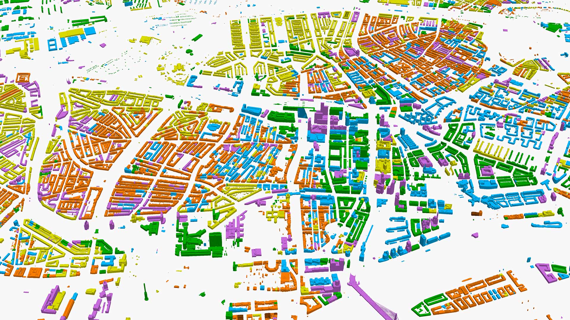
- 3D and Multimedia Cartography would emphasize the principles of 3D visualization, multimedia, and virtual reality (VR) and AR in cartography. Students would apply these principles to urban modeling and immersive mapping.
- Ethics and Social Implications in Cartography would examine the ethical considerations that arise when using and representing data and making it accessible. The course would focus on diversity, inclusivity, and social responsibility.
- Geopolitical and Cultural Dimensions of Cartography would use historical and contemporary examples to explore how maps influence political decisions, cultural narratives, and social perceptions.
- Professional Practice and Industry Collaboration would allow students to complete internships, case studies, and collaborative projects with industry partners. This course would help students develop professional skills in project management and client communication.
- A Capstone Project and Thesis would integrate theoretical knowledge and practical skills in an independent research project that addresses a real-world cartographic challenge.
Setting Up the Future
The need to modernize cartographic education has never been greater. As the world becomes increasingly interconnected and data-driven, the ability to create, interpret, and communicate spatial information is essential. However, the challenges facing cartographic education—from outdated curricula to limited access—threaten to undermine the field’s potential.
The International Master of Cartography offers a powerful example of how to address these challenges. By encouraging interdisciplinary collaboration, the use of cutting-edge technology, and a global perspective, it provides a blueprint for the future of cartographic education.
To build on this success, educators, policymakers, and industry leaders must work together to modernize cartographic curricula—like the ICA commissions are doing. By embracing standardization, technology, accessibility, ethics, and lifelong learning, the cartographic community can ensure that its trade remains a vibrant and vital discipline in the 21st century.


