At a time of twin climate and biodiversity crises, protecting land and sea is key for conservation. Protected areas are cornerstones of biodiversity, headwaters to life downstream, and critical linkages for climate resilience and species movement. They are essential for confronting the global climate and extinction emergencies—and are also well-suited to be engines of knowledge generation.
Protected areas are sentinel sites for understanding a world in flux, and they operate as living laboratories to help humans figure out how to shore up nature’s resilience and live more sustainably. However, for protected areas to function as effective engines of knowledge generation, they must adapt to rapid changes and be adequately equipped to monitor environmental change both as individual sites and as nodes in a larger knowledge network.

The Jack and Laura Dangermond Preserve—a nearly 25,000-acre property that sits at Point Conception in Santa Barbara County, California, amid more than 125,000 acres of regionally protected land and sea—is one such individual site that also operates as part of a larger network. With a watershed the size of Manhattan in New York and several thousand acres of natural habitat, the Dangermond Preserve is an ideal place to pursue conservation science enabled by technology.
In fact, since The Nature Conservancy (TNC) acquired the Dangermond Preserve in December 2017, more than 40 institutions have developed over 90 research projects that span scientific fields. With all the scientific information coming out of the preserve, plus a vast network of sensors that have been installed across the site, the Dangermond Preserve is becoming something akin to a smart city: a smart preserve, where ecosystems begin to speak for themselves.
A Timely and Valuable Tool for Conservation
Conservation increasingly requires having accurate, near real-time information on natural phenomena to anticipate ecological change and design timely strategies and interventions. Creating digital twins of real-world entities and processes has the potential to revolutionize many fields—including conservation—by enabling scientists to model, predict, and simulate ecosystems with the complexity, nuance, and timeliness needed for modern-day decision-making.
Advancements in technology and data availability, plus the ability to leverage progress from other industries, make this the perfect time to develop digital twins for conservation. They are a valuable tool that supports evidence-based conservation, adaptive management, and sustainable development in protected areas—and they can influence integrated decision-making at a time when the impacts of climate change need to be urgently addressed.

At the Dangermond Preserve, TNC—which has protected more than 1.7 million acres of land and 6,000 square miles of ocean in California alone—is creating a digital twin of the landscape’s ecology and biodiversity. Point Conception, where the preserve lies, is a well-known ecological transition zone where species ranges start and end, cold and warm ocean currents collide, and mountain ranges take shape and dissipate. It is a place of incredible biodiversity and spectacularly rapid change. For conservation, this is the arena in which the closely linked biodiversity and climate crises can be seen, felt, and now sensed in a nexus of observation, monitoring, and learning.
The digital twin that TNC is developing is being continually updated by a network of sensors and is supported by a baseline GIS, all of which fosters an open and collaborative research portfolio. This means that researchers—even those working remotely outside the preserve—can study how the area’s ecosystems evolve due to climate change and ongoing natural processes such as fire dynamics, fluctuations in groundwater and freshwater supplies, and the movement of wildlife.
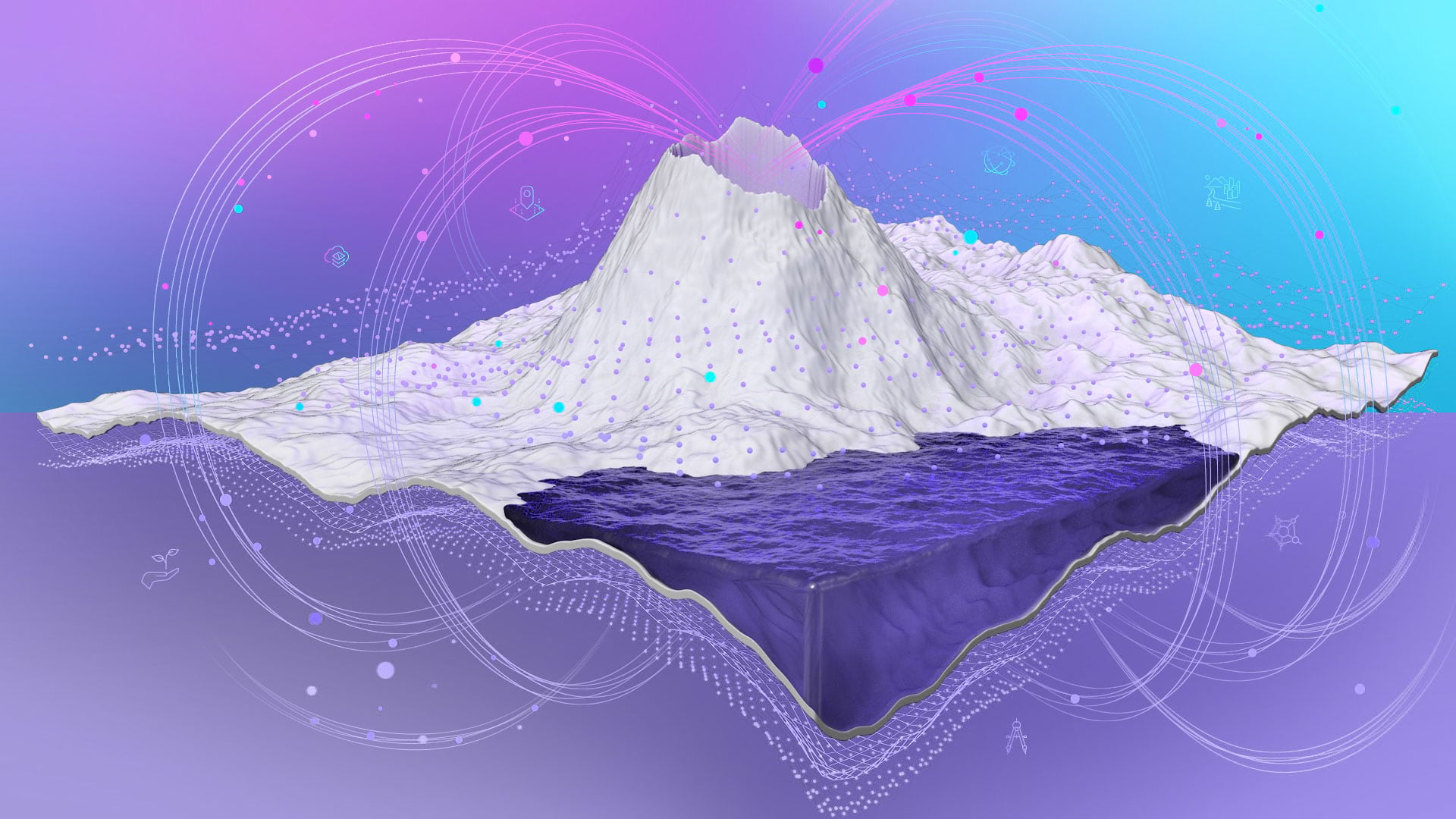
The digital twin is a system of data, models, and tools that work seamlessly together to deliver actionable data. The system includes physical, on-premises network and sensor infrastructure; cloud-based databases and analytical tools; and mobile and web apps that enable visualization and discovery.
Transparency, Open Data, and Open Science
Digital twins are data hungry. They necessitate developing new modes of science that buck traditional data-sharing norms that revolve around having siloed, embargoed, or otherwise inaccessible data. For digital twins to work, science needs to exist in a new social culture—one that favors transparency, open data, and open science.
The Dangermond Preserve has proved to be a beacon for science and learning. It is a living laboratory that connects disparate disciplines that span marine and terrestrial scientific fields. Scientists and educators from a range of disciplines have answered the call to perform research in the Dangermond Preserve that contributes to a growing database of collective understanding.

TNC has partnered with the National Center for Ecological Analysis and Synthesis (NCEAS) and the open Earth observation network DataONE to systematically catalog research contributions from the preserve and make them openly available. This fosters cross-pollination of research across various universities, organizations, regions, and scientific disciplines. It also represents a cultural shift in how science is usually conducted in protected areas.
Incredible Amounts of Data Made Public
At the Dangermond Preserve, this growing catalog of scientific information is coupled with a network of sensors—including weather stations, groundwater monitors, water tank monitors, wildlife cameras, and live-streaming cameras—that record near real-time data about ecosystem properties, from animal photos to measurements of air temperature and precipitation. This Internet of Things (IOT)-based infrastructure allows for near-ubiquitous sensing at densities, frequencies, and paces never seen before in protected areas or other natural landscapes.
Researchers combine this near real-time data with other baseline information such as remotely sensed data from the National Aeronautics and Space Administration’s (NASA’s) Airborne Visible/Infrared Imaging Spectrometer-Next Generation (AVIRIS-NG) hyperspectral sensor. In 2022, the AVIRIS-NG sensor aided a campaign known as the Surface Biology and Geology High-Frequency Time Series (SHIFT) in recording several gigabytes of hyperspectral imagery and congruent field-based vegetation measurements of Point Conception. This region now has one of the densest hyperspectral data collections anywhere in the world.
Using GIS, researchers take field-gathered data and baseline information; combine it with topographic maps, vegetation maps, and other data collected nearby on subjects such as mammal counts or sand transport estimates; and analyze everything to reveal patterns and processes. This data can then be abstracted in thousands of ways. For example, researchers can take the data and run statistical models on it to predict patterns in landscape change and determine trends in species populations over time. The datasets can be viewed or displayed in numerous ways in both raw and derived forms such as visualizations, charts, maps, and models.

TNC and other organizations working in the Dangermond Preserve are making the data and its derivative products available to research communities or the public via the Dangermond Preserve’s website and in the Dangermond Preserve Geospatial Hub, built with ArcGIS Hub.
The Future of Conservation
At the Dangermond Preserve, TNC’s Point Conception Institute (PCI)—a global conservation science center based at the preserve—employs a combination of technologies and approaches to make open and collaborative science possible. But the concept is simple: Get the best available data as quickly as possible; analyze it, model it, and turn it into information; and then present that information in a way that can be readily used to make decisions about applied conservation problems.
What TNC and its partners at the Dangermond Preserve aim to build is a technical infrastructure with foundations in both GIS and conservation by design that fosters a new, open data-based social culture in science. Another goal is that this model of science sets an example for the role that protected areas can have in the future of conservation.
Protected areas are where this generation of scientists can prove that their systems are more collaborative and innovative, and that these systems help make smarter decisions faster. Innovations in technology—particularly the transformation of GIS from a technology that makes static maps to one that creates robust digital twins—are meeting a pivotal moment in conservation. Now, digital twins may be essential to ensuring that places like the Dangermond Preserve remain resilient strongholds for biodiversity in a rapidly changing world.


