Advanced Spatial Analytics and Remote-Sensing Technology Will Enable Precision Agriculture
REDLANDS, Calif.—April 14, 2021—Esri, the global leader in location intelligence, today announced that Egyptian partner Quality Standards for Information Technology (QSIT) has successfully implemented the Crop Mapping and Field Boundary Detection solution for the Agricultural Research Center (ARC) in Egypt. The project was also selected for recognition in the category of “New Technologies” at the 2020 Paris Peace Forum.
To meet challenges such as crop disease, weed management, pest control, and irrigation, Agricultural Engineering Research Institute (AEnRI) sought to increase agricultural output in different regions all over Egypt.
QSIT implemented an artificial intelligence (AI) and remote-sensing spatial analysis solution to establish a dynamic, seasonal digital inventory of crop patterns. It integrates satellite imagery, field observations, data feeds, and geospatial AI (GeoAI) capabilities to support AEnRI in maximizing crop yields from limited resources. QSIT has built AI models to both detect agricultural field boundaries and classify patterns at the field level.
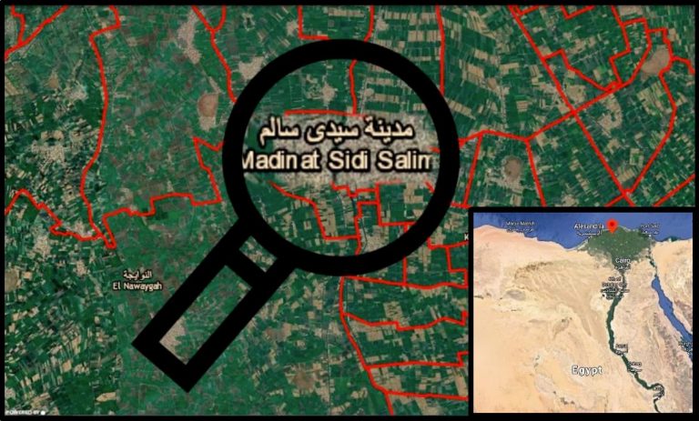
Agricultural fields in Egypt are commonly distributed with relatively small parcels that usually reduce the reliability of statistics in surveying cropland. The new solution provides a baseline for developing more advanced tools to support precision agriculture management.
The detection of already planted crops enables more accurate yield estimation as well as better monitoring of crop production and distribution. It also enables better water consumption estimation and water-loss control, and it optimizes water use. In addition, the overall understanding of the cultivated areas would further support more efficient crop production planning.
“AI is being utilized for the first time in the agriculture sector in Egypt and implemented to manage farms in a strategic way,” said Fadl Abdelhamid Hashem, executive director of Climate Change Information Center, Agriculture Research Center, Ministry of Agriculture and Land Reclamation, Egypt. “The project is just the first step, opening doors towards a series of other AI implementations aiming to support the farming industry in Egypt.“
The agricultural solution was implemented for a pilot area and used on specific types of crops—one planted in winter (wheat) and one in summer (rice).
“The project extends to include the implementation of multiple practices in the field of precision agriculture, with a view to achieving optimized water consumption [and] enhanced crop yield and distribution,” said Sherif Awad, QSIT CEO. “The bigger picture is to take this implementation from Egypt as a pilot country to the rest of Africa, supporting sustainable development goals in the continent.”
According to Waleed Effat, technical consultant at Esri Middle East and Africa, “The use of Esri’s GeoAI opens many new opportunities in the agricultural field—crop detection, field boundary delineation, plant health and disease identification, and much more, to empower precision agriculture and better optimize our limited resources for a better future for people.”
Learn more about the Crop Mapping and Field Boundary Detection solution here.
About Esri
Esri, the global market leader in geographic information system (GIS) software, location intelligence, and mapping, helps customers unlock the full potential of data to improve operational and business results. Founded in 1969 in Redlands, California, USA, Esri software is deployed in more than 350,000 organizations globally and in over 200,000 institutions in the Americas, Asia and the Pacific, Europe, Africa, and the Middle East, including Fortune 500 companies, government agencies, nonprofits, and universities. Esri has regional offices, international distributors, and partners providing local support in over 100 countries on six continents. With its pioneering commitment to geospatial information technology, Esri engineers the most innovative solutions for digital transformation, the Internet of Things (IoT), and advanced analytics. Visit us at esri.com.
Copyright © 2021 Esri. All rights reserved. Esri, the Esri globe logo, The Science of Where, esri.com, and @esri.com are trademarks, service marks, or registered marks of Esri in the United States, the European Community, or certain other jurisdictions. Other companies and products or services mentioned herein may be trademarks, service marks, or registered marks of their respective mark owners.
