displaying 1599 results

Urban search and rescue teams fanned out in Florida after Hurricane Ian with the benefit of a shared map to reduce redundant searches.
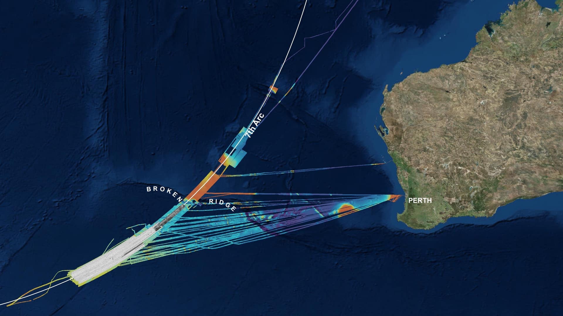
Geoscience Australia deployed location technology to search methodically for the missing Malaysia Airlines flight MH370 aircraft.

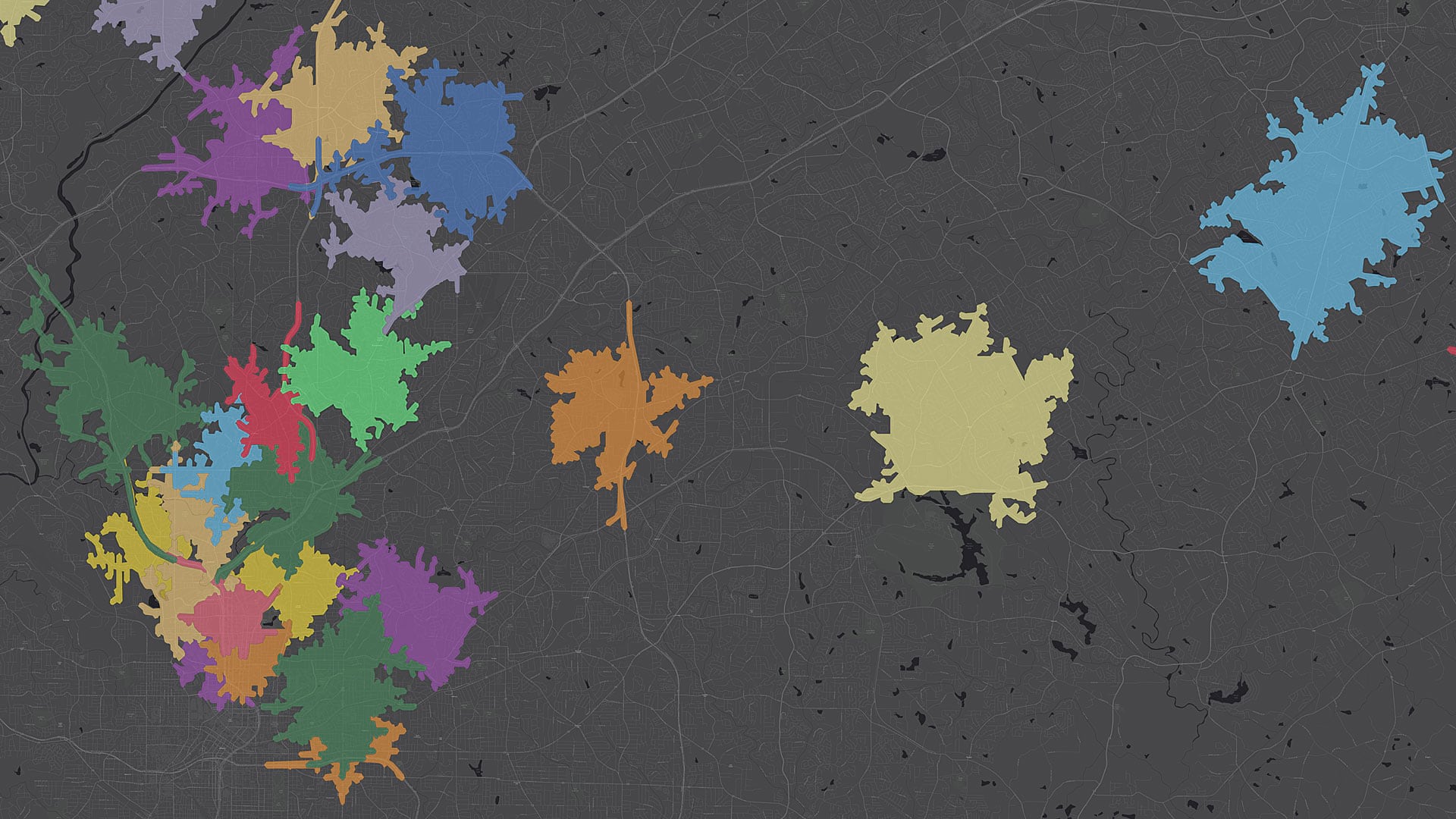
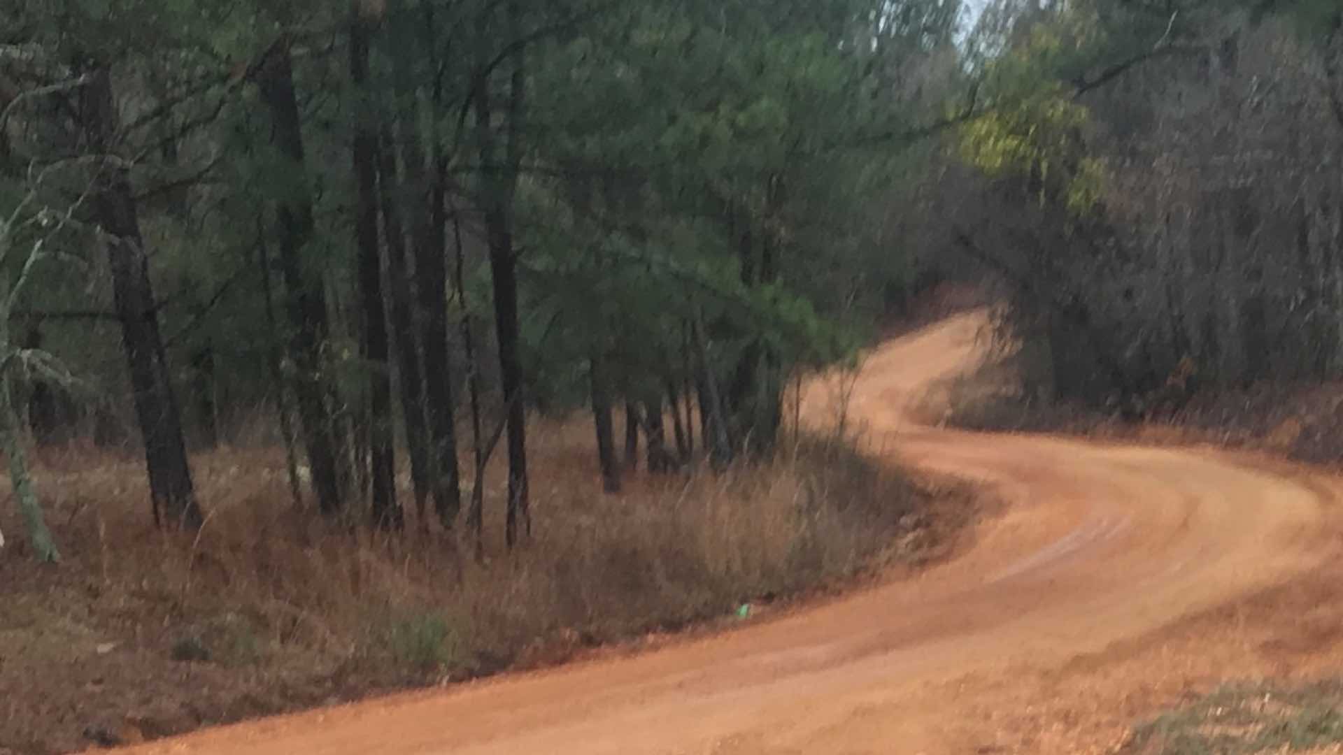
While searching for the four-year-old girl and her dog in a rural area, the massive search party relied on real-time GIS to track progress.

ArcGIS Pro 3.3 introduces new AI-enhanced experiences to help find the right tools for geoprocessing workflows.

An emergency search and rescue team in Lee County, Alabama used ArcGIS location sharing software to locate a missing girl unharmed.
Real-time GIS connected the efforts of everyone and provided confidence that the property was thoroughly searched.

Mobile map-based apps gave searchers the tools to conduct a quick and comprehensive search.
ArcGIS Map Search, a new capability in ArcGIS Maps for SharePoint, makes it easier to map and search SharePoint content.

You can now customize geosearch and geocoding to return only the results you want.

Search and rescue team combines drones and ArcGIS to effectively respond to flash flood in the city of Wimberley, Texas.
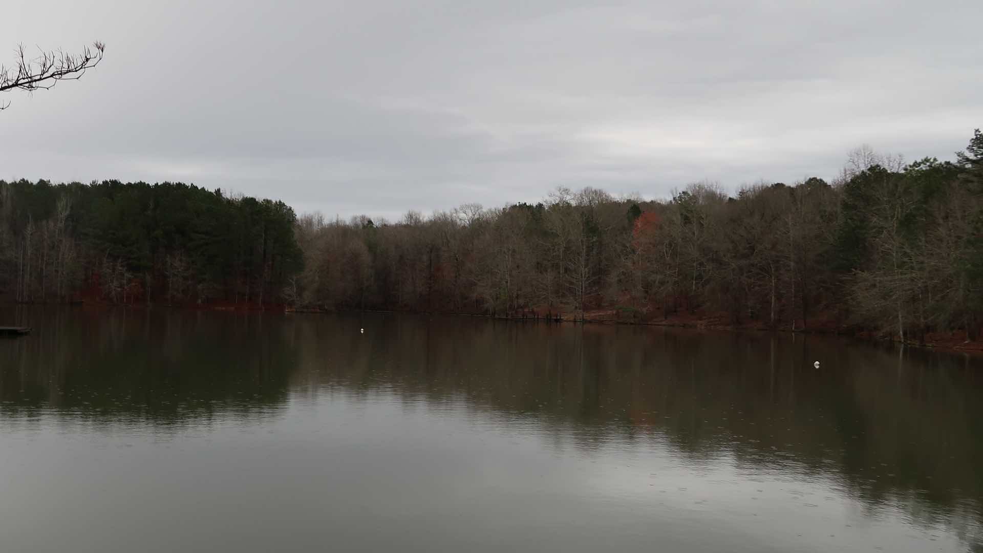
Investigators used real-time GIS to search a 300-acre property, coordinating the efforts of personnel from more than 20 agencies.
Property and land surveys are crucial resources for anyone who plans to purchase or develop property.