April 4, 2024 |
August 8, 2024
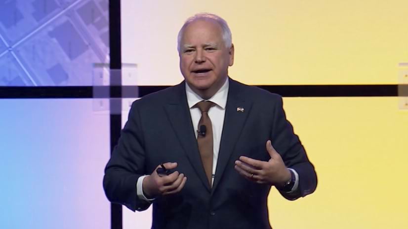
Minnesota Governor and Democratic vice-presidential candidate Tim Walz speaks often about the importance of understanding the context of a location. As Governor, Walz has used geographic information system (GIS) technology to simplify complex data into clear maps that help shape policies on issues like equity, sustainability, and economic growth.
Speaking in July at the Esri User Conference, which was attended by more than 20,000 professionals, including data scientists, geographers, and decision-makers, Walz inspired the audience. He highlighted how crucial GIS technology and detailed maps are for leaders making decisions on climate change adaptation, public health, resilient infrastructure, educating future leaders, and promoting equity.
Learn more about how state governments can achieve results with the power of geography.
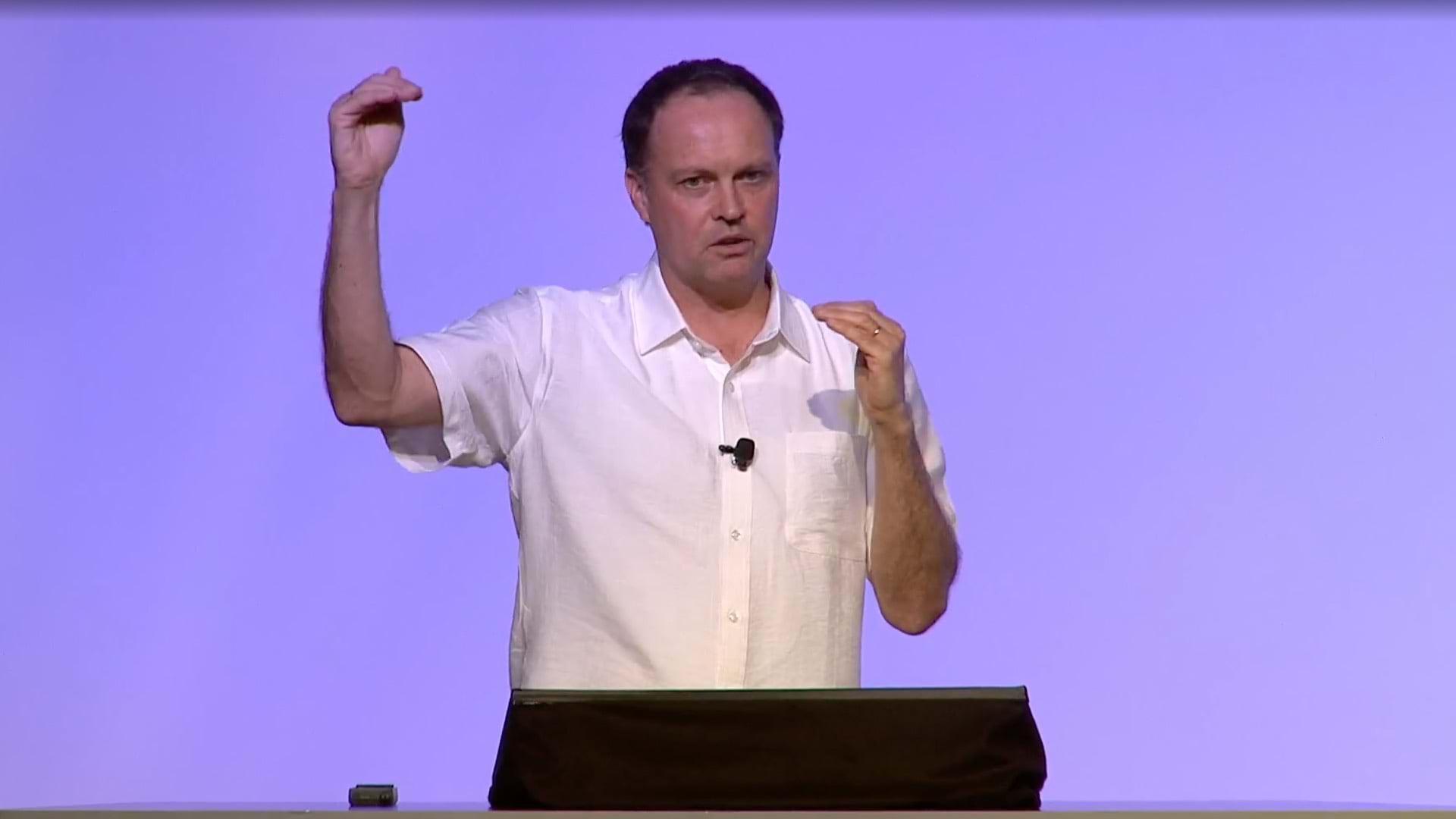
In an earlier Esri conference appearance, Walz showed how GIS technology and the geographic approach was used to protect Minnesota’s turkey industry—one of the largest producers in the world—from avian flu. Walz and his team used GIS to monitor and halt the disease’s spread, reducing the number of infected farms by 25 percent.
This video was captured at Esri’s 2022 User Conference during the Senior Executive Summit.

April 4, 2024 |

July 25, 2024 |
April 18, 2024 |