April 4, 2024 |
September 5, 2024
The National Geospatial Agency (NGA) has the world’s most detailed basemap and the largest collection of imagery, featuring over a billion features updated daily. Beyond its core role in defense and intelligence, the NGA leverages its advanced geographic information system (GIS) technology to respond to global emergencies, such as the Ebola outbreak in West Africa, where its dynamic maps and dashboards were crucial in resource distribution. NGA deputy director Tonya P. Wilkerson emphasizes the life-saving potential of the agency’s open data approach, ensuring critical information is accessible to all.
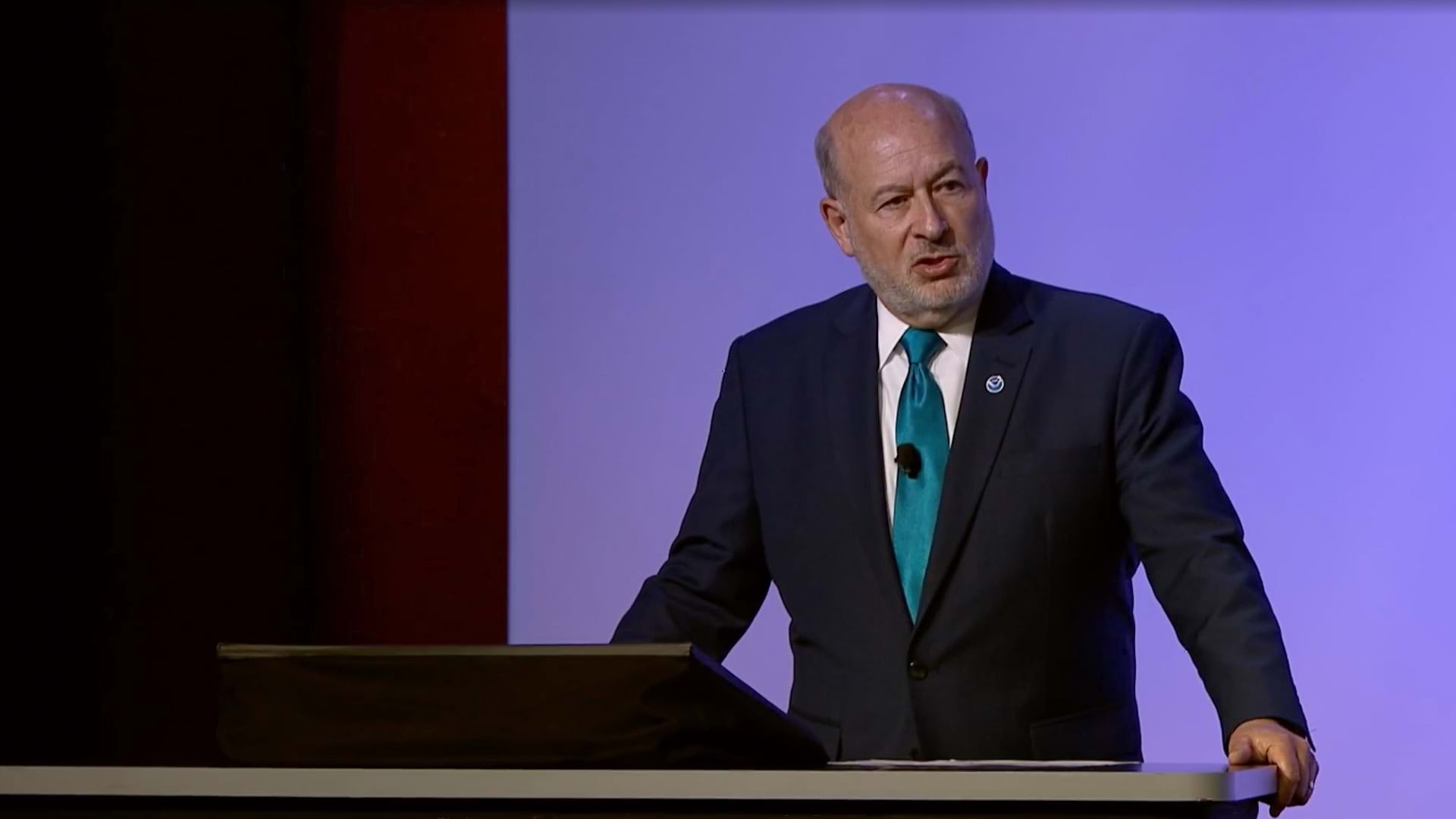
Esri president Jack Dangermond recognized NGA’s work at the 2024 Esri User Conference with the Making a Difference Award. NGA director vice admiral Frank Whitworth accepted the award and spoke to the organization’s contributions, including supporting navigation safety, mapping the Arctic and Antarctic, and working on climate security issues.
Learn about Esri’s Disaster Response Program to explore resources and discover how GIS is applied during a crisis.

April 4, 2024 |

May 23, 2024 |

June 6, 2024 |