Spatial Analytics and Data Science

Seize market opportunities, mitigate risk, optimize resources, and plan for the future with the world’s leading spatial analytics software

Find the right solution
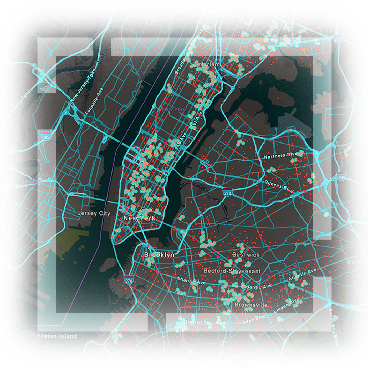
A map of New York City illustrating highways, roads, and locations of assets highlighted in blue and red linesA map of New York City illustrating highways, roads, and locations of assets highlighted in blue and red lines

ANALYZE DATA IN CONTEXT

Location reveals hidden patterns and relationships

Spatial analytics uses location as a connective thread to help you understand how the environment around you affects the challenges you're finding solutions for—whether that is climate change, customer behavior, or resource allocation. By examining data in relation to its geographic location, you can reveal unexplored spatial patterns, trends, and connections. It's these essential discoveries that often explain the "why" behind many of today's most pressing environmental and business questions.

Unparalleled collection of spatial algorithms

Esri continues to evolve to meet your needs with a comprehensive set of spatial algorithms and methods ranging from basic to advanced.

Enterprise-grade analytics

Business and government leaders around the world rely on Esri to maintain operations and provide technical support when it’s needed the most.

Align with data governance strategies

Seamlessly store, manage, and integrate geospatial data from multiple sources, ensuring a smooth data exchange and software interoperability.

A picture of Central Park and the New York City skyline showing buildings, green trees, and a blue sky

Optimize operations using location

Better manage operations with real-time understanding. Here, historical and real-time data are combined to optimize bus routes in New York City.

See what’s possible with spatial analytics

ArcGIS is a leading geospatial system that enables spatial analytics. ArcGIS powers location intelligence at more than 350,000 enterprise organizations worldwide and is backed by 50 years of market leadership in spatial analytics.

Previous
Next

Delivering transformational results

Hear testimonials from industry leaders who have implemented spatial analytics within their organization to drive environmental change, societal well-being, and economic results.

Watch the video
An image of a smiling nurse listening to the heart of a patient with a stethoscope in a rural setting

A comprehensive system to meet your needs

ArcGIS includes and integrates with a diverse set of geospatial data types. Data can be analyzed within ArcGIS or at the source of where data lives. With speed, scalability, and interoperability, ArcGIS empowers users to leverage all relevant data to drive action.

Previous
Next
Get started with ArcGIS
A large green field with rows of silver square solar panels

The latest in spatial analytics

Explore a collection of stories from an array of industries in Esri Blog.

Read real-world stories

Learn how you can apply spatial analytics

Schedule a conversation with one of our experienced sales consultants. Tell us about the workflows you’re trying to improve, and we’ll show you how spatial analytics can support your organization.