ArcGIS Enterprise
Data management is important because organizations are working with more geographic information system (GIS) data than ever before and need safe and efficient ways to gather, organize, and secure it. In today's digital economy, data is an asset that can be used to make better-informed decisions regarding business processes, from optimizing operations to reducing costs, all with the end goal of increasing revenue and profits. Spatial database management with ArcGIS can help organizations reach this goal by ensuring users receive the most accurate GIS data and are empowered to share it safely.

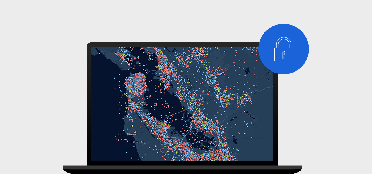
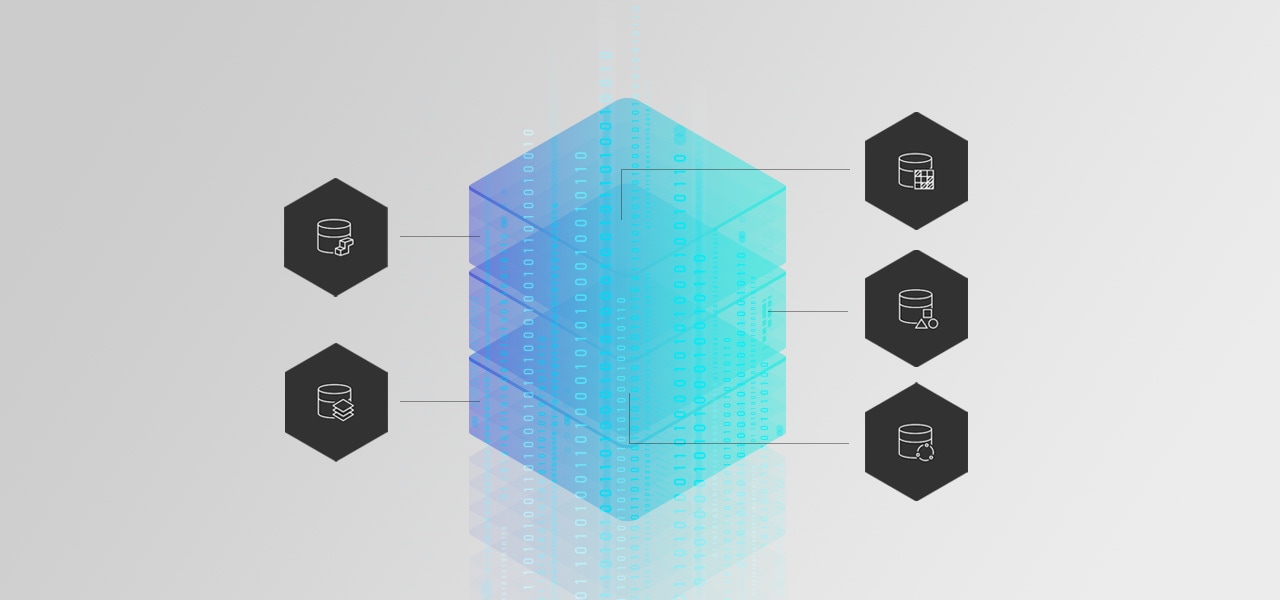
A spatial database is a data management system that is enhanced to include geographic data such as a location on the earth or the position of an object in space, along with tools for analysis. No matter where you want to store your data, Esri offers a spatial database that meets your needs. You can connect to existing databases and upload live data for all your mapping and analysis needs. Don't have an existing database? No problem. With ArcGIS Enterprise and ArcGIS Online, you get inherent GIS data storage, so you are covered now and as your data grows.

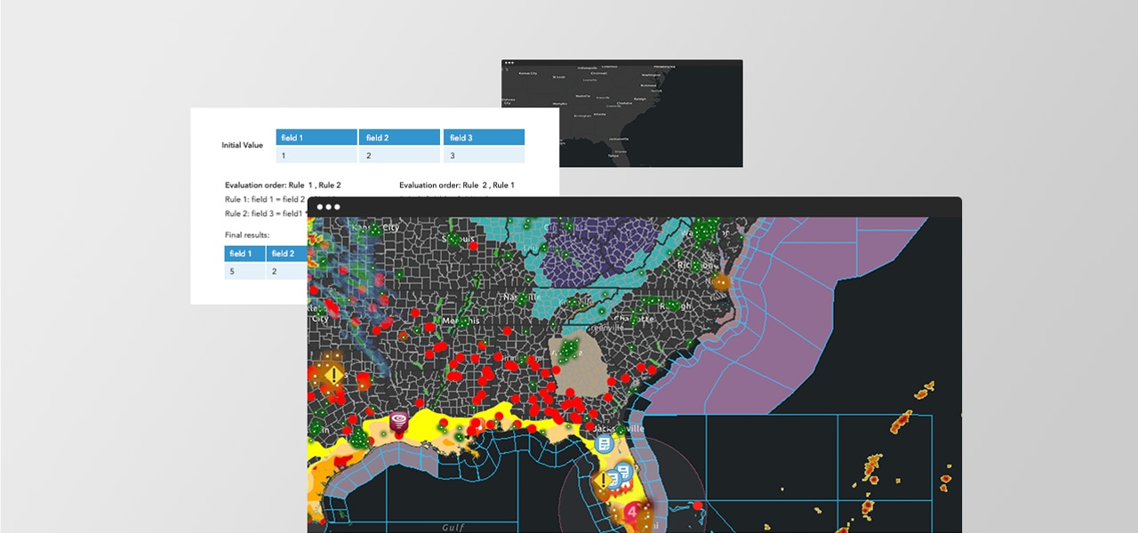
You need to have up-to-date, accurate data 24/7 for all your decision-making, and Esri's got you covered. Use ArcGIS Data Reviewer to automate data processes and clean your data through comprehensive checks that ensure you always have quality, accurate data. Set up user or system defined rules to preserve the integrity of your data. Lower data management costs and reduce risk in decision-making by detecting, managing, and reporting errors in your data.
Additionally, you need a data management solution that works with your data. The ArcGIS Data Interoperability extension simplifies complex data integration by removing format barriers. Whether you're a GIS analyst in government using Open Geospatial Consortium (OGC) or a financial analyst using Microsoft Excel (XLSX), this extension helps you work with a variety of data formats.
Esri also has tools to prepare data for mapping and analysis that range from simple to complex, which can help you answer your organization's most important questions. Add Mapping to your data management strategy. Create interactive maps to visualize and model your data.

Sharing your data story is key to informing your audience and inspiring people to take action. Share your data information products to bring awareness to key issues, and collaborate with others to solve problems. ArcGIS technology gives you the power to share your data the way you want and with whom you want—from specific groups to the general public. ArcGIS Dashboards and ArcGIS Hub allow you to leverage your GIS data management tools to get your data story in the hands of those who need it to better collaborate and solve problems.

Esri offers many data management tools to help you and your organization succeed.
Please share your information and our sales team will contact you soon. We look forward to communicating with you.