ArcGIS StreetMap Premium

Quality street data behind your firewall for map display, geocoding, and routing

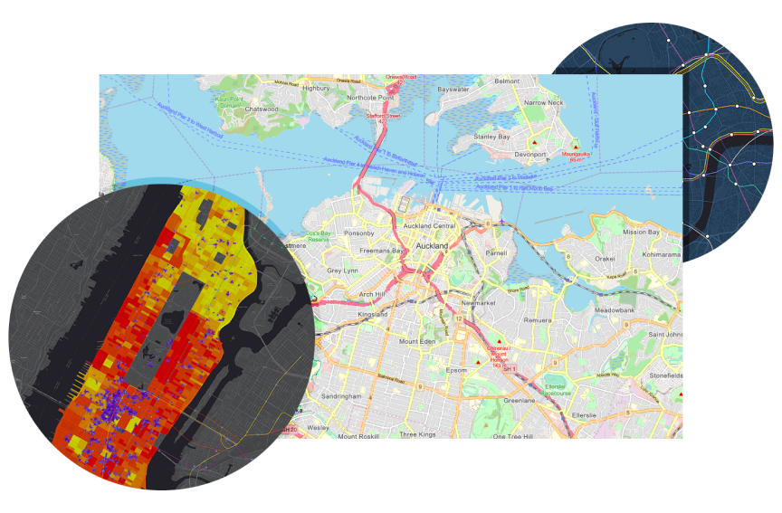
A transit map overlaid with a map of Auckland, New Zealand and the surrounding area and a map of Manhattan with sections shaded in reds, oranges, yellows, and purple

ArcGIS StreetMap Premium provides offline, enriched street data for use in ArcGIS software to deliver high-quality and multiscale cartographic map display; accurate geocoding; and optimized routing, driving directions, and network analysis. StreetMap Premium is an out-of-the-box solution designed specifically for use with ArcGIS. It can be deployed rapidly on-premises behind your firewall without the need for any data preparation.

Previous
Next

What's included with StreetMap Premium

Previous
Next

Meet all your business needs

StreetMap Premium offers flexibility to help you leverage the power of ArcGIS. Different versions of StreetMap Premium help you meet all your business needs. For more information, connect with your local distributor or contact us.

Add your data

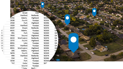
Integrate your organization's datasets and generate turn-by-turn routes against them using StreetMap Premium Custom Roads. This product allows organizations to combine roads that they manage with StreetMap Premium streets for a single, continuous routable transportation network. Once integrated, the updated network can be used across ArcGIS products.

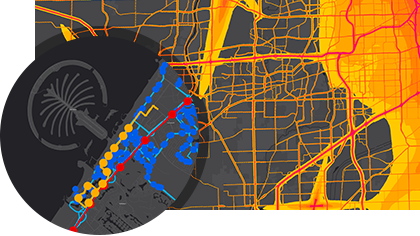
Driver looking at mobile device inside a vehicle and traffic conditions shown on a basemap with yellow and gray lines,Driver looking at mobile device inside a vehicle and traffic conditions shown on a basemap with yellow and gray lines

Take your data offline

Download StreetMap Premium for ArcGIS Runtime mobile map packages to your device and take your data offline. Use local data to perform geocoding and generate routes and directions while offline, and use maps when there is no network or cellular connection. 

Two workers in white hard hats looking at a mobile device and blue GPS markers shown in a satellite map

CASE STUDY

Taking the guesswork out of community health

Loma Linda University Health revamped community asset maps to better support needs assessments and hospital readiness programs.

Read the case study

Get started with StreetMap Premium

StreetMap Premium can be deployed using ArcGIS Pro, ArcGIS Enterprise, or ArcGIS Runtime.

ArcGIS Pro

ArcGIS Pro

Take advantage of data visualization, advanced analysis, and more, with ArcGIS Pro, a next generation desktop GIS.

Learn more about ArcGIS Pro
ArcGIS Enterprise

ArcGIS Enterprise

ArcGIS Enterprise, a foundational system for GIS, runs behind the firewall, on-premises, or in the cloud and powers comprehensive functionality via apps and add-on capabilities.

Explore ArcGIS Enterprise
ArcGIS Maps SDKs

ArcGIS Maps SDKs

Build high-performance, fully featured 2D and 3D mapping applications with ArcGIS.

Explore ArcGIS Maps SDKs

Please share your information and our sales team will contact you soon. We look forward to communicating with you.

Here are a few ways to get in contact