


National aviation webinar series
Register for upcoming webinars and watch recordings of past topics.
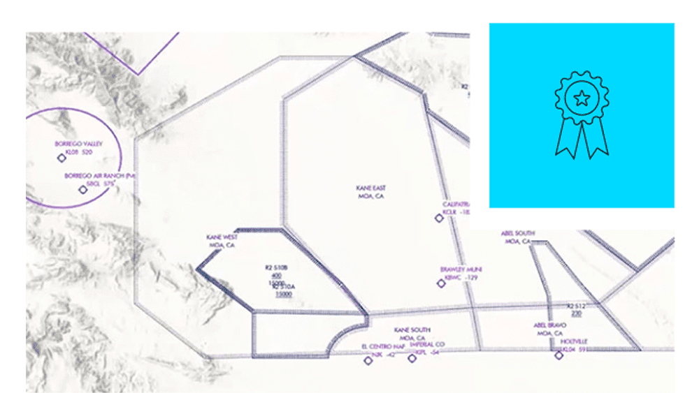
Data-driven aeronautical chart production
An extension to ArcGIS Pro and ArcGIS Enterprise


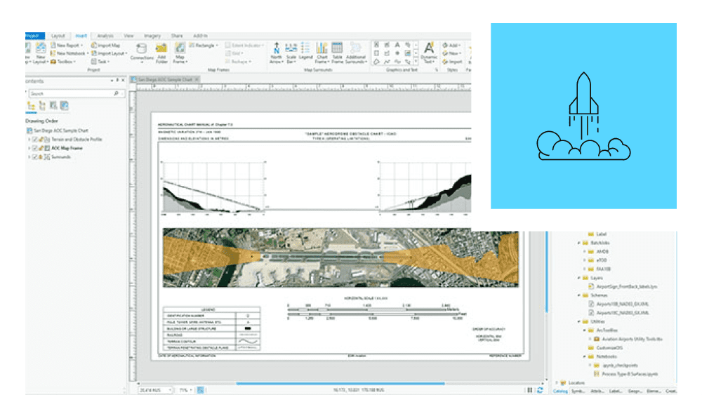
Aviation Charting is a data-driven system with a data model that organizes features, attributes, metadata, symbology rules, labeling properties, and validation checks in a central geodatabase. It automates aeronautical charting workflows and streamlines how data updates are reflected on all related products, allowing you to produce charts more efficiently.
Exchange data with national and international agencies using industry-standard formats. Integrate with other systems to build a digital twin.
Manage aviation data and business rules with repeatable workflows. Ensure data integrity and chart accuracy using built-in validation capabilities.
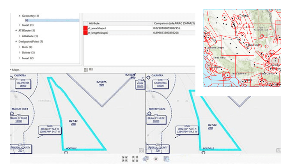
The data-driven system generates aeronautical charts from high-quality data. Visualize chart updates with change detection tools.
Enable better collaboration and engagement with stakeholders by publishing timely and trusted aeronautical information.
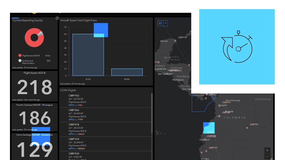
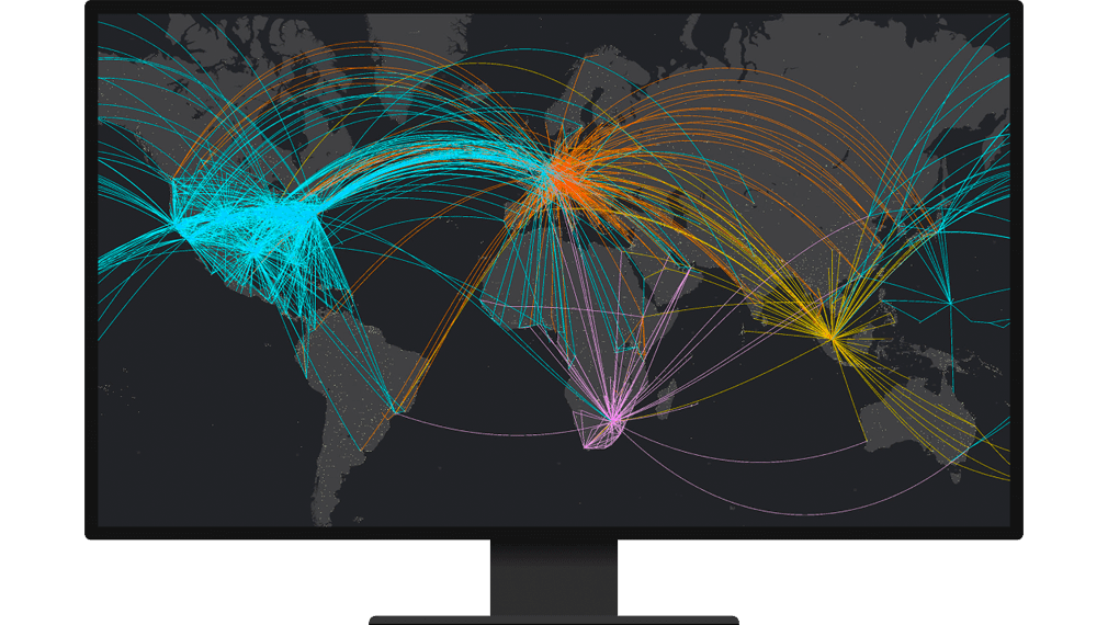
Aviation Charting is a geospatially intelligent system designed to efficiently produce charts that adhere to international standards. It effectively manages data to acquire real-time situational awareness and perform historical analysis to optimize airspace capacity.
Use a framework of tools to perform in-depth analysis and create advanced visualizations to understand current and historical data.
Collaborate and share authoritative aeronautical information to enable real-time situational awareness.
Create a consistent view of the national airspace system by integrating hundreds of different spatial and nonspatial data types.
Ensure safety and efficiency of airfield operations with tools for performing obstacle analysis, meeting airport compliance, and managing signs and markings.
National aviation webinar series

ICAO newsroom

FAA safety alerts and charting notices

Join the global voice of AIM

FAA Advisory Circulars

Eurocontrol
Please share your information, and our sales team will contact you soon. We look forward to communicating with you.