ArcGIS GeoEvent Server

A real-time extension for ArcGIS Enterprise

Contact sales
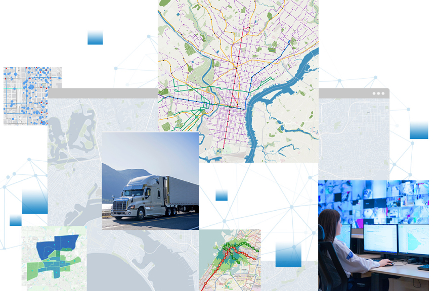
Collection of digital street maps, a big rig, and a woman working in a security operations center viewing 2 computer monitors

Introducing ArcGIS GeoEvent Server

Gain situational awareness of your real-time streaming data with ArcGIS GeoEvent Server. Whether you are tracking moving assets, monitoring stationary sensors, or following social media feeds, you can tap into, analyze, and display real-time and Internet of Things (IoT) data on your maps. 

Boost your real-time monitoring and response rate when you define filters that focus on the data and events that matter most to you. Stay ahead of incidents by automatically updating maps and databases, and send alerts to your stakeholders when thresholds are met to make better decisions the moment something happens.

Tap into the power of real-time data feeds

ArcGIS GeoEvent Server supports effective decision-making with access to real-time geospatial data.

Previous
Next

How ArcGIS GeoEvent Server Works

Explore how ArcGIS GeoEvent Server integrates with ArcGIS Enterprise to consume, visualize, and analyze streaming data in real time.

Connect to data streams

GeoEvent Server is capable of consuming event data from multiple real-time data feeds.

Image of a blue sky and green tree with a weather sensor and inset icon of a square and cylinder representing data connection

Filter and analyze

Create maps with the most up-to-date information using filters and processors so analysts can discover and focus on the most interesting events, locations, and thresholds for their operations.

Digital map displaying incident alerts of varying severity represented with red, green, and orange triangle warning icons

Alert and actuate

Take action with your analyses. Share the results and alert stakeholders when it matters.

 smartphone with an inset digital map with scattered data points pinpointing incident locations and a blue and white icon

Case study

National Fuel Gas Company

National Fuel monitors rainfall in real time and proactively notifies staff where to focus inspection efforts after extreme weather events.

Read the case study

Fully leverage your real-time data with ArcGIS

Integrate streaming data into your enterprise GIS via ArcGIS GeoEvent Server to enhance real-time visualization and monitoring capabilities.

ArcGIS Enterprise

ArcGIS Enterprise

Leverage ArcGIS GeoEvent Server to support real-time data into your complete enterprise GIS system.

Explore ArcGIS Enterprise
ArcGIS Velocity

ArcGIS Velocity

Our software as a service application for ingesting, visualizing, and analyzing real-time data feeds.

Learn more about ArcGIS Velocity
ArcGIS GeoAnalytics Engine

ArcGIS GeoAnalytics Engine

Analyze large volumes of geographic information and discover insights with ArcGIS GeoAnalytics Engine.

Explore ArcGIS GeoAnalytics Engine

Contact sales

Connecting You with Sales Experts

Talk to someone on our sales team

1-800-447-9778

7:00 a.m.–5:00 p.m., Monday through Friday (PT)

Chat online

Start a chat

Contact the sales team

Fill out the contact form