Insurance

Gain hyperlocal risk insights

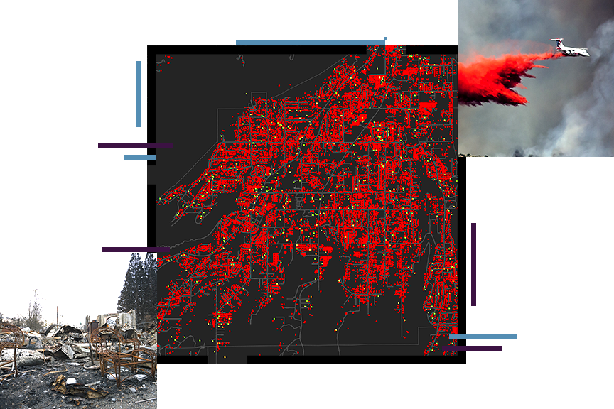
A density map in black and red, overlaid with a photo of an airtanker dropping fire retardant on a wildfire and a photo of the wreckage of a fire-damaged home

A GIS platform for advanced mapping and analytics

As the frequency and severity of natural disasters grow exponentially, insurance companies adapt by reducing liabilities in their portfolio. Insurers with resilient geospatial strategies use geographic information system (GIS) technology to analyze, identify, and map new opportunities and hazards with precision.

Previous
Next

Webinars: Geospatial strategy for insurance

Despite the critical role that location plays within the insurance industry, few companies leverage geospatial data, tools, and workflows at scale. In this webinar collection, you’ll learn from Esri experts how to unlock the power of location intelligence throughout your organization with an enterprise geospatial strategy.

Explore the collection
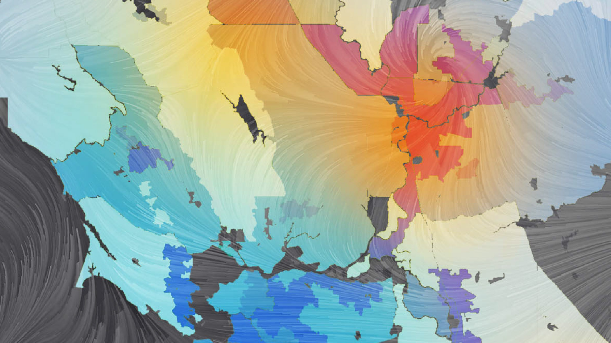
A graphic with a stylized multicolored country map overlaid with a translucent pattern of a swirling vortex

Insurance strategies

Discover location-based insurance strategies that transform the policy life cycle at every stage

Previous
Next
See all business industries

Manage risk before, during, and after events

Discover how the insurance industry uses maps to make informed decisions, overcome challenges, and better allocate resources.

Explore the story

USAA: Remote sensing for catastrophe response

When disasters strike and losses occur, innovative insurers use GeoAI/ML and high-resolution imagery to understand the impact in record time.

Watch the demonstration

Swiss Re Zurich & Conterra

Reinsurers managing portfolios use scalable web applications to quickly visualize disparate policy in a single view.

Watch the presentation

Munich Reinsurance Company

Actuaries, underwriters, and risk managers need accurate, reliable data on exposure. Learn how advanced spatial analyses take traditional workflows to hyperlocal levels.

Watch the presentation

Guy Carpenter: Assessing climate-driven disruptions

As pace of climate change is drastically increasing, see how industry-leading companies are contextualizing climate-driven events with location intelligence.

Watch the demonstration

Upcoming event

Esri User Conference | July 14–18, 2025  | San Diego Convention Center | San Diego, California

Explore the event page
Explore all events
A photo of a conference staffer helping a registrant, while a person in a backpack stands in the foreground using a laptop

Our community

Find out how your peers are using Esri technology to achieve their goals.

Explore stories and resources
Two people sitting in a coffee shop working with GIS software on a tablet and laptop

Contact sales

Contact us

Outside the United States