Software and subscriptions
Esri’s ArcGIS products for the cloud, mobile devices, and desktops discounted 50–99%.
Discounted offers on software, training, and content for nonprofit organizations
The world’s most powerful GIS software at a discounted price
Esri’s Nonprofit Program provides eligible organizations with low-cost access to the software, training, and content they need. Organizations of all sizes, from around the world, are invited to apply.
Eligibility is determined based on an organization’s status and activities—for US nonprofit organizations, 501(c)(3) status is required.
Esri supports more than 13,000 organizations through the Nonprofit Program. It serves tens of thousands of GIS users across 126 countries who are applying GIS to make the world a better place. From hunger and poverty to arts and culture, economic development to conservation, program members are taking a geographic approach to solving complex problems and creating positive impacts.
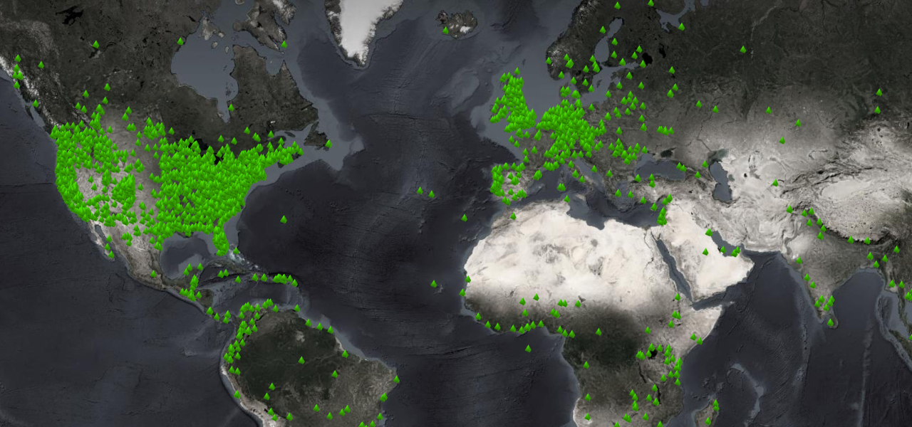
Esri launched the Nonprofit Program in 2010 to help organizations use GIS for good and maximize positive impacts on people and the planet. Organizations around the world apply Esri's technology to understand and address important challenges such as climate change, supply chain resilience, public health, and social equity. This work inspires everything Esri does.
Program members can take advantage of the discounted offerings and benefits that best meet their needs. Full details will be shared once eligibility is verified.
Esri’s ArcGIS products for the cloud, mobile devices, and desktops discounted 50–99%.
Basemaps, imagery, demographics, lifestyle data, and authoritative maps on thousands of topics are included in ArcGIS Living Atlas of the World. Premium content discounts vary.
APIs and SDKs for building custom web, mobile, and desktop apps for mapping, visualization, and analysis.
Get unlimited e-Learning through Esri Academy. Instructor-led training is discounted 40 percent.
World-class support is provided by people who are ready to address any question or issue related to ArcGIS. Esri Services discounts vary. Software installation support is included.
Connections to Esri’s Nonprofit specialty partners who have dedicated solutions, services, and expertise for nonprofit success.
Access to the largest community of mapping and location intelligence professionals, where nonprofit staff can share, chat, and collaborate.
Gain access to the biggest GIS event in the world to discover how GIS is transforming our world. Registration is discounted 75 percent. Discounts on other Esri events are also available.
Read the following information before you apply to find out if your organization qualifies, what you’ll need for verification, and what to expect.
Eligibility is determined by an organization’s legally recognized status as well as a review of its purpose and activities. In the United States, the requirement is exempt designation as a 501(c)(3) public charity. Organizations that are not eligible include hospitals and health-care systems, governmental entities, schools and academic institutions, and commercial organizations. Outside the US, requirements are set by the local Esri office or distributor.
For organizations based in the US, Esri partners use TechSoup to verify eligibility and expedite the review process. As part of your application, you will be asked to enter your TechSoup token. If you have not already done so, please register with TechSoup to obtain a token. You will need an active token to submit the Esri application. Please note that if you have not already registered with TechSoup, this may take 2–14 business days to complete.
Outside the US, organizations will be reviewed by the local Esri office or distributor and will not need to complete verification with TechSoup.
Once your review is complete, you will receive an email from Esri with the Nonprofit Program eligibility decision and everything you need to know to get started. If you have any questions, please reach out to the Nonprofit Program team at nonprofit_inquiry@esri.com.
Explore licensing options, including nonprofit enterprise agreements (EAs)—ArcGIS software packages that advance the missions of organizations eligible for the Esri Nonprofit Program. EAs simplify administration and technology access, and provide benefits that include world-class technical support and Esri User Conference registrations.
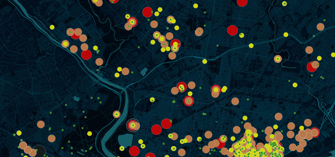
Need inspiration? View GIS use cases, solutions, and stories from organizations like yours.
Make even more positive impacts with a geographic approach by joining the program.