Portal for ArcGIS—New Software Product for Making Maps, Sharing, and Collaborating in a Secure Environment
Many organizations have asked how they can duplicate the capabilities of the ArcGIS Online website behind their organization's firewall or in a private cloud. The answer is Portal for ArcGIS—a customizable version of the ArcGIS Online website that provides the same collaboration and sharing tools but in an organization's secure on-site or cloud-based environment. Portal for ArcGIS becomes the central repository for an organization's authoritative content that can only be accessed by users inside the organization. It gives them the capability to quickly and easily build maps, share these with the entire organization, and form groups and communities to collaborate on projects and exchange project-based information.
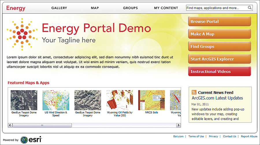
Organizations can customize the look and feel of Portal for ArcGIS.
Users can create maps with the integrated web map viewer or use ArcGIS Explorer Online or ArcGIS Desktop and access shared layers and task services, for example, analytic models, to add to their maps. These maps can then be shared with everyone in the organization or just specific groups. Developers inside the organization can access shared content for use with ArcGIS Web Mapping APIs to create focused web, mobile, or desktop applications. Users can decide whether to share their content with everyone in the organization or just with a specific group that is collaborating on a project or that has formed around a common interest. In addition to sharing their maps, users also have the ability to embed maps on a web page or a blog with just a few clicks.
Searching for items not only is based on tags but also considers frequency of use, amount of details provided, and ratings and comments others have added to a specific item. Maps created and shared by one person can be used by someone else and made into new maps by adding additional layers then sharing them again.
With Portal for ArcGIS, organizations have the option to use their own basemaps and reference layers or license ArcGIS Data Appliance to access global basemaps published by Esri, which include the World Topographic Map, World Street Map, World Imagery, and a number of reference and specialty maps. Web mapping application templates are also included. These templates give users different layout options that can be configured and quickly implemented without any programming. Portal for ArcGIS also integrates with Esri Geoportal Server, a free, open source product that supports common and custom metadata profiles, for example, Federal Geographic Data Committee, International Organization for Standardization, and Dublin Core.
Why should an organization implement Portal for ArcGIS instead of using the publicly available ArcGIS Online website? While the ArcGIS Online website supports private sharing of items through groups, certain business needs dictate that organizations keep their content secure behind their own firewalls. This may include sensitive data for doing confidential research or data with strict privacy controls, such as health care data. The administrative and account management tools provide system administrators with the ability to manage users, groups, and shared items and set user storage limitations. An identity store provides credentials for authentication and security and can be integrated with existing identity stores. Organizations can choose to implement a hybrid version of Portal for ArcGIS that allows access to the Internet for specific content or have the portal completely hosted by Esri as managed services.
Portal for ArcGIS will be available with the ArcGIS 10.1 release. In the meantime, users who would like to discuss their immediate needs can contact the Esri office near them or visit esri.com/portal for more information.