Summer 2008
Summer 2008 |
|||||||
|
|
|||||||
ArcGIS Survey Analyst Streamlines Processes and Increases Data Accuracy
Colorado Springs Utilities Improves Cadastral Data Management |
|||
Highlights
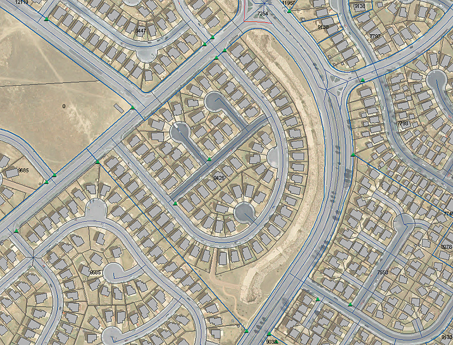
Since 1925, Colorado Springs Utilities (CSU) has been a community-owned utility provider of electric, natural gas, water, and wastewater services to customers in the Pikes Peak region of central Colorado. Today, its service areas include the City of Colorado Springs, Manitou Springs, and many of the suburban residential areas in the surrounding area. The military installations of Fort Carson Army Base, Peterson Air Force Base (AFB), and the United States Air Force Academy receive water, electric service, and gas. Peterson AFB also receives wastewater treatment services from CSU.
CSU serves a population of approximately 380,000, which includes more than 150,000 homes and businesses. In 2005, CSU received the highest score ever in the category of power quality and reliability for a medium-sized utility from a J.D. Power and Associates customer satisfaction survey. The utility's customer satisfaction success is owed in part to its long success with GIS technology, having used the geospatial software in numerous departments since 1987. Several of CSU's corporate systems fully integrate GIS functionality, including its customer information and work management systems. Without an accurate and up-to-date GIS land base, the utility's corporate systems will not operate at their full potential, and CSU's Landbase Services (LBS) Unit of the Planning and Engineering Department is well aware of this fact. LBS is tasked with maintaining records on 189,000 parcels, as well as 18,000 right-of-way polygons covering more than 500 square miles of CSU service territory. In an effort to advance its current enterprise GIS and keep its customer satisfaction rating high, LBS sought a way to improve the creation, maintenance, and updates to cadastral and other survey-related data. After seeing an ArcGIS Survey Analyst demonstration at a recent Esri International User Conference, LBS became a beta tester of the extension's new workflow manager, called Cadastral Editor. Using Cadastral Editor, individual parcels and subdivisions can be entered using coordinate geometry (COGO)-based survey plans. An integrated Cadastral Fabric is then developed from all relevant survey and plan data using a least-squares adjustment tool for the best-fit representation of the parcel layer. "We instantly understood the beauty of this solution," says Larry Von De Bur, professional land surveyor of LBS, Colorado Springs Utilities. "These cadastral tools, including the least-squares tool, permit better maintenance of the spatial integrity of our data. It gives us sound analysis of measurement data from a wide variety of input sources with varying accuracy and reliability. The result is a more realistic modeling of the world of cadastral data." CSU began utilizing its new software system in the first quarter of 2008. Now utility surveyors and other staff at CSU use ArcGIS Survey Analyst to better manage land records, parcel mapping, and other cadastral matters. The toolset is used on subdivision boundaries, parcels, rights-of-way, and easements. Staff uses the software to efficiently collect, convert, and display cadastral data; serve as a base coverage for utility infrastructure; and share data throughout the organization, and with other government entities, for cadastral purposes. CSU recently began to evaluate its entire sanitary sewer infrastructure to determine what infrastructure needed maintenance, rehabilitation, or replacement. As part of the evaluation process, sanitary sewer infrastructure locations and easement records were tied together and analyzed for coexistent locations. Once any GIS data anomalies were resolved and updated, more informed decisions could be made on potential infrastructure replacement. "It's about truly being able to do parcel maintenance in a very efficient fashion, as well as keeping an eye on accuracy," says Tony Moran, supervisor of LBS. "We can better maintain focus on keeping that base data as precise as possible because we build so many things from it. We're able to do this very effectively without wasting a lot of resources." More InformationFor more information, contact Tony Moran, Colorado Springs Utilities (tel.: 719-668-8358, e-mail: tmoran@csu.org). |