Scott County Takes No Risks
Iowa County Creates Address Data and Improves Emergency Services
Highlights
- Scott County's enhanced GIS data has aided its emergency communications center staff to map emergency calls.
- The county incorporated the use of GIS into its daily data management work.
- New GIS data management tools implement new address assignment and data layer maintenance.
Accurate GIS data is critical for emergency response. The use of wireless telephones is at an all-time high and continues to increase, while the use of landline telephones has steadily decreased. Accurate GIS data allows emergency responders to get to the scene faster-and many times, saves lives. Officials at Scott County, Iowa, did not begin their recent public safety project with a primary goal to implement accurate GIS data in their consolidated communications center. Yet, county officials learned in the early planning stages that current and accurate GIS data layers would be essential for successfully implementing a new emergency communications center.
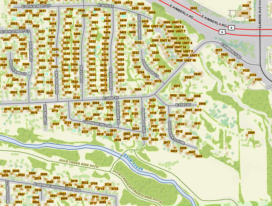
Large scale imagery showing multi-unit dwellings.
As plans for the new Scott Emergency Communications Center (SECC) began to take shape, officials decided that before the new center could become operational, a spatially based computer-aided dispatch (CAD) system was needed. However, the data that the CAD system required was not yet developed, and accurate GIS data layers for the entire county would need to be created. Scott County set out to work with a third-party vendor to create the GIS data and develop and implement a GIS data maintenance plan. An ongoing GIS data maintenance workflow plan was also necessary to ensure the newly created accurate GIS data was maintained following the project's completion.
Through the request for proposal process, Scott County teamed with Esri Partner GeoComm, Inc., of Saint Cloud, Minnesota, which had 16 years of public safety GIS data development experience. The company uses ArcGIS and ArcPad for data creation and maintenance. Its GIS data production services incorporate industry standards based on Esri and the National Emergency Number Association. GeoComm also uses GeoLynx DMS, its own public safety GIS data management extension, in ArcGIS. The extension is a toolbar that automates many of the tasks for public safety GIS data management. It was developed with specific tasks in mind, including extensive quality assurance/quality control automation.
Before address verification began in the field, the team realized that there were some unique challenges in collecting some of the address information in Scott County. These challenges were most notably buildings with more than one resident and/or address. There were areas that had multiple buildings with the same address, areas with one building and multiple addresses, as well as one building with multiple units (apartments), that all used the same address. To help locate all suspected multiunit addresses in advance, the team used several resources, including the Address Location Information (ALI) database, energy company databases, and building footprints that fell within multiunit zoning areas for each city. Finally, the remaining questionable addresses in Scott County were surveyed. Field-workers used ArcPad on laptops connected to a Trimble GPS unit to gather and enter information for all multiunit addresses. In all, more than 8,000 suspected multiunit structures were field verified in less than four months. Address data was collected from these structures so they will be accurately located in Scott County's CAD system.
While the fieldwork was under way, staff began the review and development of the primary GIS map data layers for 9-1-1, such as street centerline, address point, and Emergency Service Zone (ESZ) boundary. This included a GIS data analysis to verify whether the GIS map data was synchronized with the Master Street Address Guide (MSAG) and the caller location information from the ALI database.
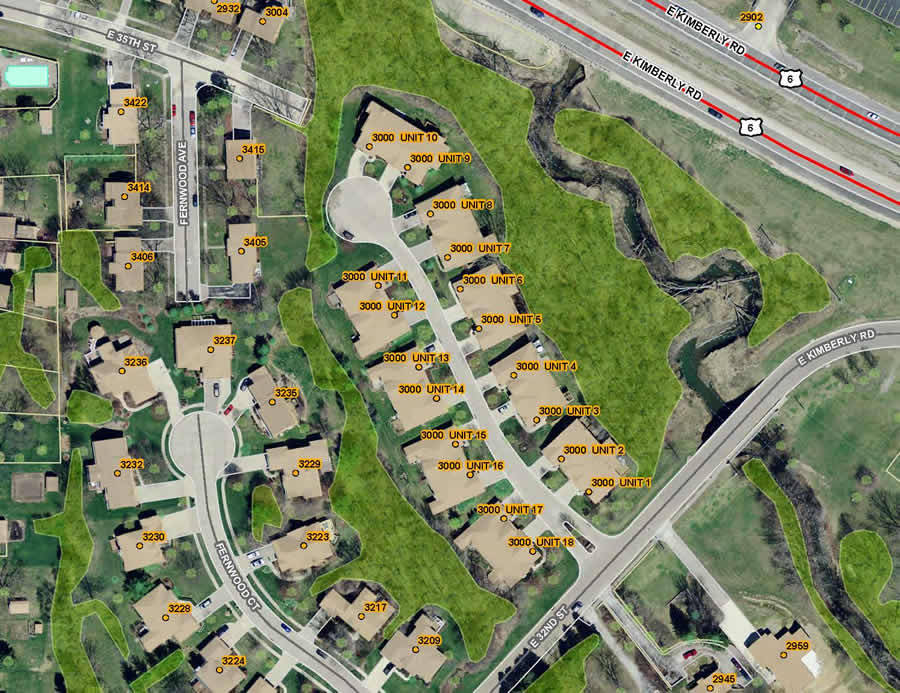
Image zoomed out to show more area coverage.
The team's GIS specialists conducted extensive map development and cleanup. They used GeoLynx DMS tools such as address assignment, address range creation, wireless cell sector maintenance, and a broad range of quality assurance and quality control audits to identify and correct discrepancies between the GIS data and the county's 9-1-1 database. The street centerline layer, which is the primary layer required for public safety, was improved to have a better synchronization rate with Scott County's ALI database and MSAG to increase the accuracy of locating a 9-1-1 caller. The topology audits in GeoLynx DMS, based on ArcGIS topology rules, helped ensure perfect topological correctness of and between multiple responder polygon layers and the street centerline data. In addition, the ESZ boundary map layer, which depicts the service area for fire, medical, and law responders, was reviewed and altered through several online meetings with local staff to ensure proper location and synchronization with the MSAG.
Once accurate, up-to-date GIS data was created, it was important to implement a strong maintenance plan to ensure the SECC's map data, MSAG, and software were continuously synchronized to effectively map incident locations. Equally important was maintaining open communication between all departments and municipalities in Scott County. To help achieve these GIS data maintenance goals, Scott County incorporated the use of GIS into its daily data management work to maintain its existing GIS data layers and merge new addresses into the MSAG and ALI databases. By enhancing GIS data maintenance with a higher level of accuracy, Scott County's GIS data has aided SECC staff in mapping wire line, wireless, and VoIP emergency calls when they happen.
Scott County recently implemented a complete countywide, highly accurate GIS dataset and solid maintenance plan. The information provided in these new GIS data layers supplies public safety responders with locatable addresses that display the correct location on a map in an emergency, resulting in faster response times. The new GIS data management software provides the SECC with the tools it needs to implement new address assignment and data layer maintenance. In addition, even though the SECC address point data model was designed with public safety as a priority, it also took into account other countywide needs, making it a valuable resource for other Scott County departments as well.
For more information, contact Ray Weiser, GIS coordinator, Scott County, Iowa (tel.: 563-328-4137, e-mail: gis@scottcountyiowa.com), or Amanda Romaine, inside sales and marketing manager, GeoComm (tel.: 320-240-0040, e-mail: geocomm@geo-comm.com).