Mapping tool supports marine protection
What can you do with ArcGIS Maritime?
Empower others with maritime data
Build a Marine Spatial Data Infrastructure (MSDI) with data management and sharing capabilities.
Manage
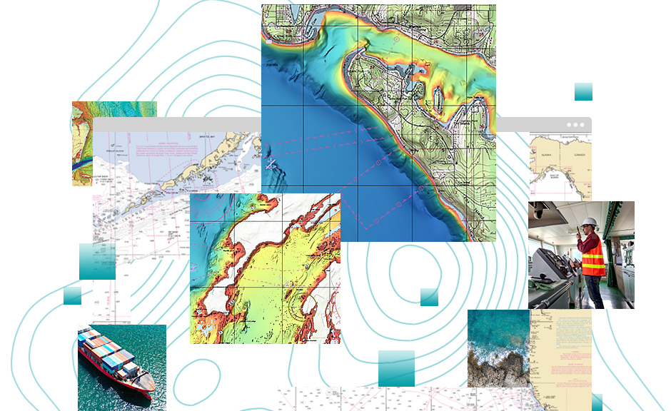
Use simple tools for ingesting IHO S-57 and IHO S-100 electronic chart specifications. Magnify the value of your maritime data with the power of GIS.
Produce
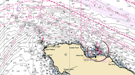
Geoprocessing tools automate the production of industry-standard IHO S-57 and IHO S-100 Electronic Navigational Charts.
Share
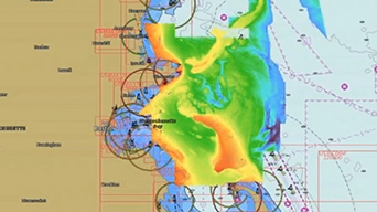
Publish electronic charts as web services. Combine the latest IHO electronic charts with bathymetric and topographic data to create dynamic PDFs.
Maritime news
Make the most of your investment
ArcGIS Bathymetry
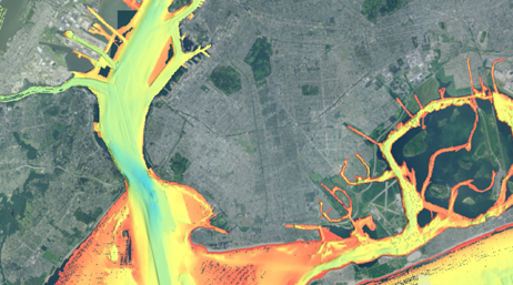
Realize the value of your bathymetric data by adding ArcGIS Bathymetry to your maritime portfolio.
ArcGIS Pro
Take advantage of data visualization, advanced analysis, and authoritative data maintenance with ArcGIS Pro, a next generation desktop GIS.
ArcGIS Enterprise
Power your location intelligence by organizing and sharing your work on any device, from anywhere, at any time.
Contact sales
Have any questions?
Chat now
Start a conversation online.
Call us
Speak with a representative.