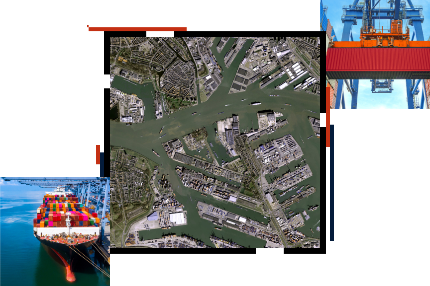
Skip to Content

Ports

Analyze comprehensive port data in real time

An aerial photo of a busy industrial port surrounded by dull green water and two photos of ships and equipment moving colorful shipping containers

Gain a competitive advantage with GIS for ports

Large international ports are complex organizations. Port staff manage assets and facilities. They optimize transportation infrastructure and port performance—all while minimizing traffic congestion and environmental impacts. And they must coordinate all these activities to ensure unencumbered throughput that protects profit and sustainability.


For optimal performance, leaders need access to the best real-time port data and spatial intelligence to make the best decisions. Become a smart port with GIS for ports and thrive in today's dynamic port environment.

Ports Thrive with Smart Technology ebook

Ports are critical to our global supply chain and need to meet high demand while operating safely and sustainably. GIS provides ports with a methodology and technological foundation for gaining a new level of optimal performance. Discover how ports can leverage GIS to enhance efficiency and make more strategic infrastructure investment decisions.

Download the ebook
An aerial view of two ships docked at a port

Upcoming event

Esri User Conference | July 15–19, 2024 | San Diego Convention Center | San Diego, California

Explore the event page

Our community

Find out how your peers are using Esri technology to achieve their goals.

Explore stories and resources
Two people sitting in a coffee shop working with GIS software on a tablet and laptop

Contact sales

Connect with the Esri transportation team