What can I do with ArcGIS Image Server?
How it works

Manage imagery
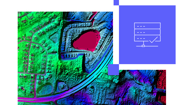
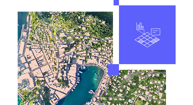
Manage and host massive collections of imagery and raster data using your infrastructure—on premises, in the cloud, or as a hybrid deployment.
Stream imagery
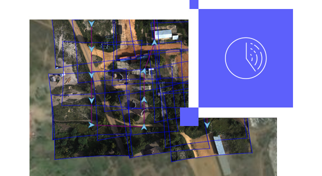
Make accessible massive imagery collections, including orthomosaics, multidimensional, categorical , elevation data, and imagery from sensors.
Analyze imagery
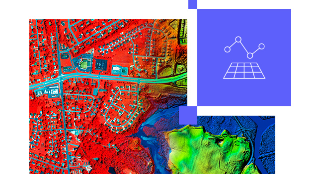
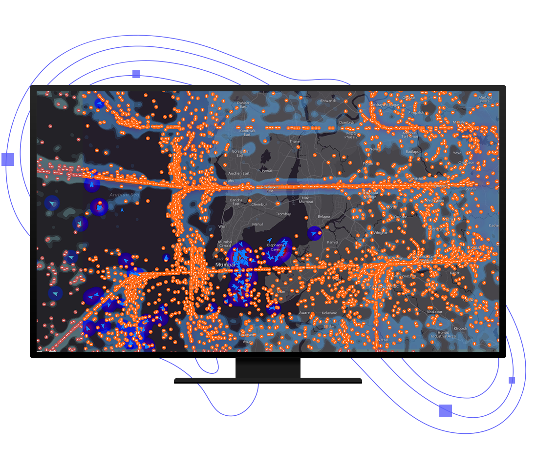
Use an extensive suite of raster functions, tools, templates, and APIs to power your raster analytics.
Pricing
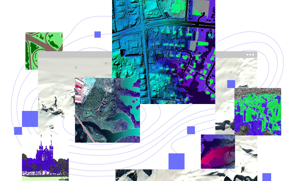
ArcGIS Image Server extends ArcGIS Enterprise with image management and raster analytic capabilities. It provides a distributed computing and storage system that powers the analytical processing and serving of imagery, elevation, rasters, and other remotely sensed data.
Resources
Contact sales
Please share your information, and our sales team will contact you soon. We look forward to communicating with you.
