Esri and IBM

Combining GIS with the leading analytics and AI solutions from IBM

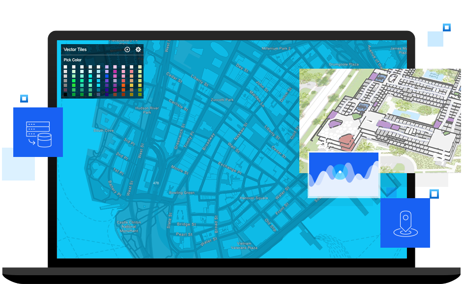
Laptop showing maps, overlaid with digital building models

Work smarter with the power of location

Maps reveal new patterns and trends in data and add to the way data science and machine learning (ML) techniques model relationships in information. Map data helps drive organizational efficiency, creating better use of resources and smarter ways to work. Location, as applied to the seamless integration of Esri and IBM software, is the context for modern asset and space management and improved public safety and security. Find out how the ArcGIS platform enables and extends IBM solutions deployed on-premises or in the cloud.

Technology for sustainable operations

Sustainability requires optimizing business operations and costs while reducing waste and energy use. Together, Esri and IBM help companies analyze operational data to understand challenges and make informed decisions.

Play video
Photo of Jack Dangermond smiling and sitting with Kareem Yusef, Ph.D. onstage at a conference with an abstract background of soft purples and greens

Facility and space management: IBM TRIRIGA

IBM TRIRIGA with Esri ArcGIS Indoors provides your employees with a great workplace experience, enables effortless wayfinding across your workplace, and allows easy location of facilities' accommodations and other amenities on easy-to-use, interactive maps.

Learn more and schedule a demo

Read the ArcGIS Blog

Computer showing IBM TRIRIGA and ArcGIS Indoors program with a digital map of a facility

Asset management: IBM Maximo Spatial

For asset-intensive organizations that need to manage equipment, schedule work, and predict problems before they happen, IBM Maximo Spatial powered by ArcGIS is a leading asset management solution.

Explore presentation

Read configuration information

Computer showing IBM Maximo Spatial asset management program in use with a map of residences

Identity analytics: i2 Analyst's Notebook

IBM i2 security solutions, enabled and extended by ArcGIS, provide deep link analysis, fraud detection, and identity determination for government public security and safety agencies as well as banking, insurance, and retail organizations.

Explore configuration details

Computer showing IBM2 security solutions integrating with ArcGIS to analyze a map and data

Manage spatial data: IBM Db2 and Informix

Esri software powers the spatial data types and query functions within IBM Db2 Spatial Extender (LUW and z/OS versions) as well as IBM Informix. With Db2 and Informix spatial information management configured, ArcGIS Enterprise adds powerful geodatabase functionality, advanced administrative tools, spatial analytics, geoprocessing, and web map publishing capabilities.

Db2 spatial documentation

Db2 Spatial Support

Person touching a tablet device to select digital map information

Deep Learning: IBM Watson with ArcGIS

Take advantage of ArcGIS Notebooks and the ArcGIS API for Python (ArcPy) to compose, train, and run geospatial AI/ML models with IBM Watson.

Play machine learning video

Diagram modeling how Esri’s capabilities work with AI in IBM Watson

Contact Esri

Chat now

Start a conversation online.

Start chat

Send a message

Get an email response.

Start my message

Call us

Speak with a representative.

1-800-447-9778
(United States)
Outside the United States