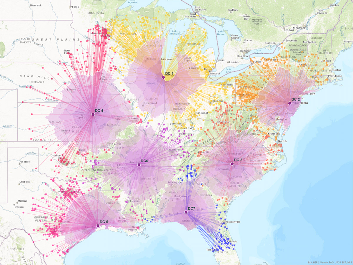
The new geoenabled solution from SAP will allow users to deliver their data through consumer-friendly maps and integrate the results into custom business applications. Customers using SAP software will also be able to create custom models that efficiently process streams of earth observation data such as water content or soil temperatures and see this data on high-quality basemaps provided by Esri’s ArcGIS Online.
Most business objectives—such as increasing revenue growth, reducing operational costs, or improving customer service—rely on some sort of location data. Unfortunately, many executives lack an accurate and up-to-date understanding of where performance is going well and where improvements need to be made. This new offering from SAP, leveraging state-of-the-art Esri technology, lets organizations extract high-value business information from satellite, drone, and open data sources and then easily discover and share location-based insights.
“As an SAP global technology partner, we are very excited about this offering, as it demonstrates that SAP and Esri products work better together,” said Chris Cappelli, director of strategic business development, Esri. “Users of SAP HANA spatial services can now achieve native integration of spatial and enterprise data across all business processes. By putting the power of location information into the hands of key stakeholders, businesses can make better-informed decisions with their own data.”
This integration follows SAP’s announcement on January 24, 2018, that Esri supports SAP HANA as an enterprise geodatabase with the release of ArcGIS 10.6 and ArcGIS Pro 2.1. Esri and SAP customers can benefit from enhanced performance and scalability as well as full integration of both enterprise and spatial data. Both Esri and SAP continue to deliver new innovations that help lower total cost of ownership (TCO) and administration costs brought on by the tight integration of IT and geospatial landscapes.
Esri will showcase its new integration of location intelligence technology with SAP HANA spatial services at SAPPHIRE NOW and ASUG Annual Conference in booth #1239.
To learn more about Esri’s offerings for customers running SAP solutions, visit go.esri.com/sap-hana.
# # #
About SAP
SAP, SAPPHIRE NOW, SAP HANA and other SAP products and services mentioned herein as well as their respective logos are trademarks or registered trademarks of SAP SE (or an SAP affiliate company) in Germany and other countries. See www.sap.com for additional trademark information and notices. All other product and service names mentioned are the trademarks of their respective companies.
Press Information:
Karen Richardson, Esri
Tel.: 914-841-3180
E-mail (press only): krichardson@esri.com
General Information: media.help@esri.com

