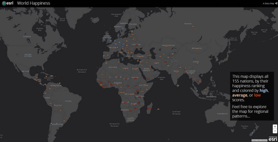
Everyone loves a good story, and using an Esri Story Maps app is a great way to tell one.
To give people an opportunity to demonstrate their skills in making story maps, Esri is sponsoring the Esri Storytelling with Maps Contest. The grand prize winner will receive a drone and a one-year license of Drone2Map for ArcGIS for one user.
But the clock is ticking. The deadline to enter is 5:00 p.m. (PDT) on May 30.
Contest entrants can submit up to three story maps. First-, second-, and third-place prizes will be awarded in each of the following five categories:
- Infrastructure, Planning, and Government
- Science, Technology, and Education
- Conservation, Environment, and Sustainability
- Travel, Destinations, and Recreation
- Culture, History, and Events
Esri Story Maps apps combine maps, text, and multimedia content to tell stories addressing many topics, including social issues, conflicts, the environment, agriculture, sports, health, and tourism. Many government organizations are creating story maps to inform people about their services and public policies.

“Story maps are a vivid, informative, and insightful new means of conveying information,” said Allen Carroll, leader of the Esri Story Maps team. “We launched this contest to celebrate the diverse and creative uses of this exciting storytelling medium.”
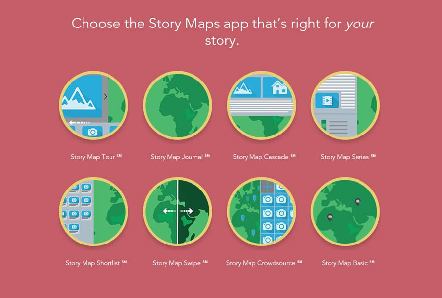
When determining the winners, the contest judges will consider design, user experience, impact, and overall creativity in telling an engaging story. Participants must use one of the Esri Story Maps apps—for example, Esri Story Map Journal, Esri Story Map Cascade, and Esri Story Map Series—to create their story maps.
Contest participants are encouraged to customize the Esri Story Maps app they select, tailoring their app to their audience and demonstrating their creativity.

Besides the drone and the one-year license of Drone2Map for ArcGIS for one user, the grand prize winner will receive a plaque and a certificate. For each category, the first-place winner will receive a GoPro camera, a plaque, and a certificate; the second- and third-place winners will take home an Esri book of their choice, a plaque, and a certificate.
To learn more about how to get started creating story maps, visit the How to Make a Story Map website.
The ArcWatch article “Ten Essential Steps for Story Map Success” also is helpful in conceiving and building your first Esri Story Maps app.
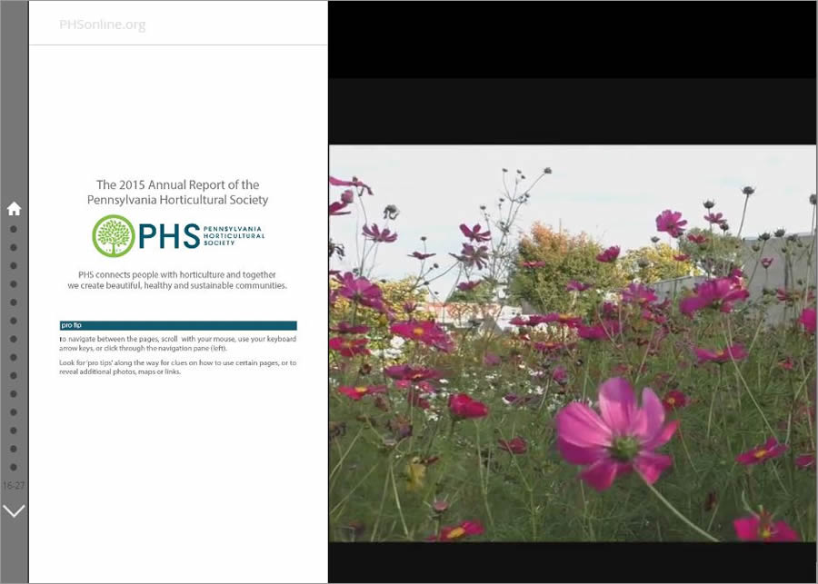
To read about the winners of last year’s competition, see the ArcWatch article “Pennsylvania Horticultural Society Wins Grand Prize in the Esri Storytelling with Maps Contest.”
