Leading Czech political scientist Tomas Lebeda showed how Esri ArcGIS helped him spatially analyze how people voted in the recent legislative elections in his country when he took the stage at the Czech Esri User Conference in November 2013.
Lebeda spoke to more than 800 people at the meeting in Prague, demonstrating how he used the Hot Spot Analysis tool to compare and contrast the 2013 election results with those from the 2010 election. (In 2013, the left-leaning parties made gains compared to 2010, when the right-leaning parties gained seats in the Parliament’s Chamber of Deputies.)
Lebeda used other Esri software and tools for the project, including ArcGIS 3D Analyst’s ArcScene, the Export To Web 3D Scene tool, and the CityEngine Web Scene Viewer in Mozilla Firefox.

“We really appreciate that Mr. Lebeda accepted our invitation,” said Petr Seidl, general manager of ARCDATA PRAHA, s.r.o., the official Esri distributor that hosted the conference. “The connection between social sciences and geography is essential. With the help of maps, social sciences gain a new dimension.”
Although the Czech Republic is a small European country, geospatial science is quite popular and advanced there. The event marked the 22nd year for the conference, which regularly attracts nearly 1,000 GIS professionals.
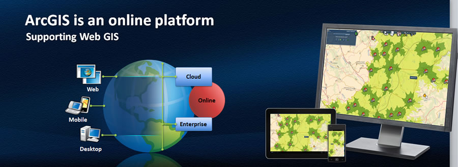
People attended a variety of presentations, technical workshops, demonstrations, and seminars. Bern Szukalski, an Esri technical evangelist and product manager based in Redlands, California, USA, spoke to the crowd about web GIS, ArcGIS Online, and current trends in GIS technology.

“Web GIS can integrate all types of data, making web maps a new medium to reach an ever-expanding audience of fellow professionals, decision makers, and the public,” Szukalski said. “ArcGIS is being transformed by the cloud, making GIS easier, always available, and more social. We’re moving rapidly from simple web mapping to being able to access full GIS capabilities via the cloud—moving quickly toward a true web GIS.”
The CEZ Group, the largest utility provider in central Europe, with seven million customers in the Czech Republic, Romania, and Bulgaria, is currently implementing GIS as a core enterprise system.
During the conference, CEZ Distribution Services, a member of the CEZ Group, gave a presentation about its mobile GIS implementation based on ArcGIS 10 for Windows Mobile. The application helps crews orient themselves in the field and find the correct electric meters they need to locate. This mobile solution reduces the need to produce paper maps that constantly had to be updated and reprinted, saving money and time.
Other News from the Conference
- The Czech Geological Survey won an award for an organization-wide implementation of GIS.
- Jiri Cernohorsky, director of the Czech Land Survey Office, received an award for his lifelong contribution to the development of GIS in the Czech Republic.
- Some attendees met to hear an update about the Czech National Spatial Data Infrastructure (SDI) project, which should be completed by 2020.
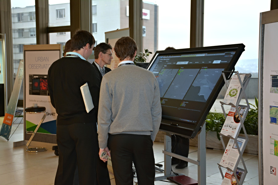
- Many people saw the Urban Observatory, an exhibit that let them compare and contrast data about Prague to other large cities. (Read the related story, Urban Observatory: a Live Museum with a Data Pulse.)
- Attendees were able to leaf through the pages of the large and colorful new Landscape Atlas of the Czech Republic.
