Robust GIS drone mapping software
How it works
Capture
Collect drone data using ArcGIS Flight or any third-party drone data collection app.
Download and process
After the completed flight, create a project to download your drone imagery. Add ground control and automatically process to create 2D and 3D outputs.
Visualize and analyze
View 2D and 3D outputs. Make measurements, track changes, and perform other analyses within Drone2Map.
Perform advanced analysis
Open your project easily in ArcGIS Pro to use a range of tools such as advanced spatial, temporal, and spectral analysis and data management.
Share
Share your imagery outputs within your organization or with the public as feature layers, web maps, imagery layers, and more.
ArcGIS Flight iPad application
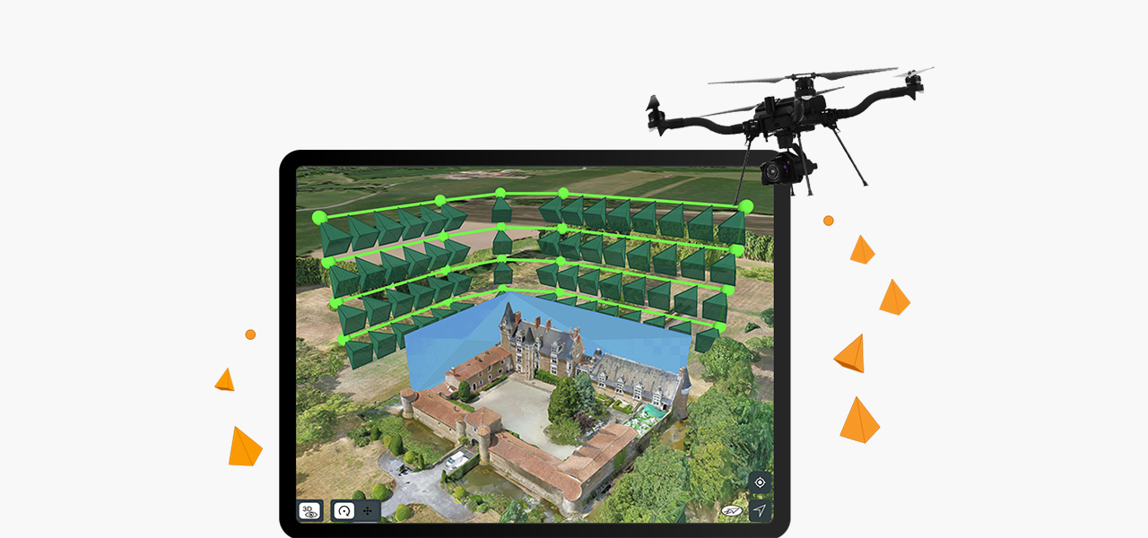
ArcGIS Flight makes it easy to plan and execute automated drone flights in order to collect imagery for reality mapping and inspection or record geospatial video. Upload your data for processing in Drone2Map to be used across your ArcGIS organization.
Choose from a variety of flight modes tailored to the type of asset being captured, and the app will automatically define the optimal flight path and allow you to preview it in 2D or 3D.
Drone Pilots can use Terrain Follow, which enhances imagery quality by adjusting the drone's height to follow the terrain.
ArcGIS Reality product suite
Explore the software applications that are a part of ArcGIS Reality. Find the reality mapping software that fits the size of your projects and the sensors you work with.
ArcGIS Reality for ArcGIS Pro
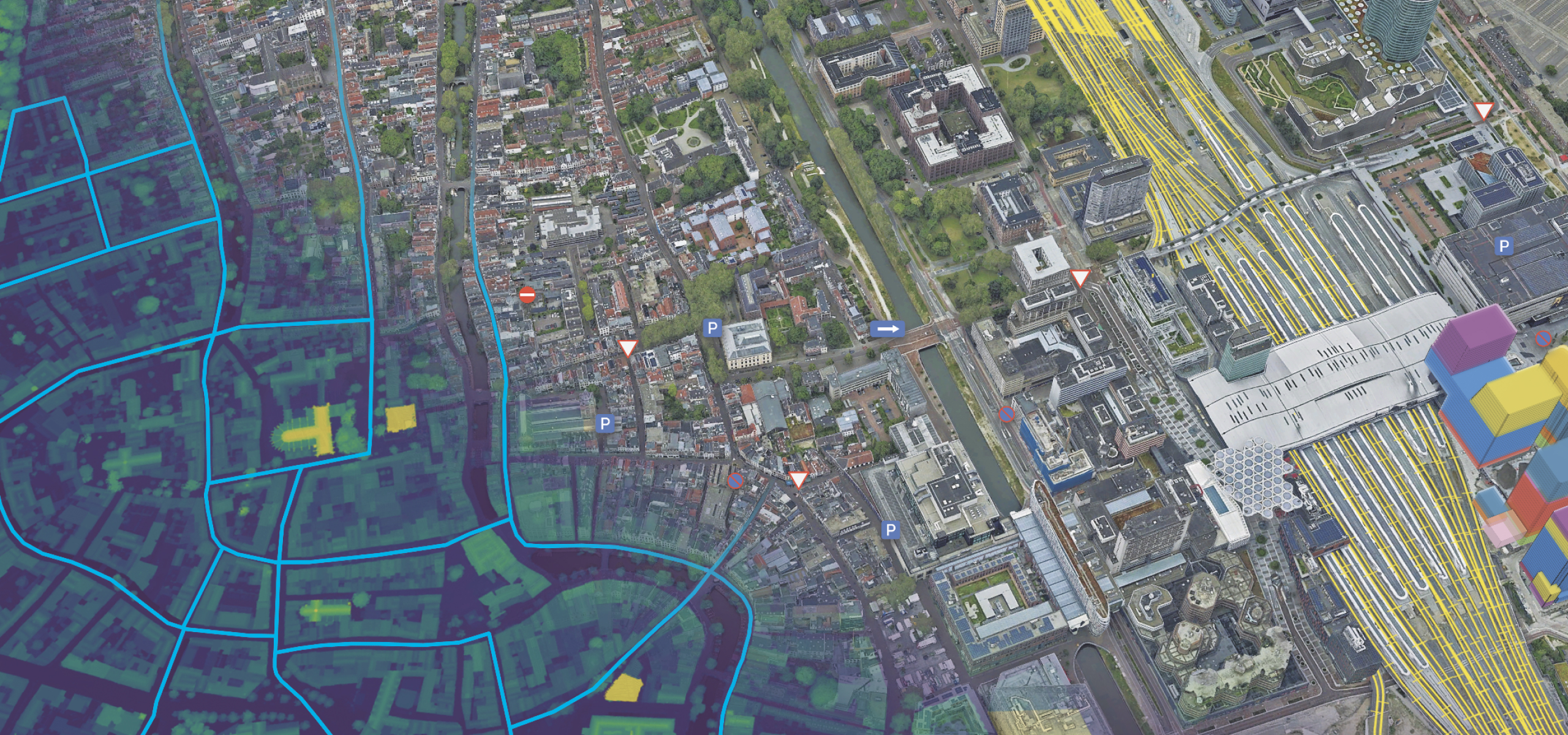
Use this extension to generate large-scale true DSMs, true orthos, DSM meshes, point clouds, and 3D meshes from satellite, aerial, and drone imagery.
ArcGIS Reality Studio
Explore this scalable, stand-alone application for citywide and countrywide reality mapping to create an important piece of 3D digital twins.
Site Scan for ArcGIS
Process large volumes of drone imagery faster with cloud-based data processing and create 2D and 3D maps and models that you can quickly share across your organization.
ArcGIS Reality and digital twins
Digital twins are representations of real-world objects and their processes and relationships. With ArcGIS Reality, users create highly accurate 3D meshes, true orthos, and point clouds to use as an important piece when developing 3D digital twins of social, natural, and built environments. Learn more about Esri’s 3D capabilities and how they relate to a comprehensive digital twin.
Contact sales
Connecting You with Sales Experts
Talk to someone on our sales team
1-800-447-9778
7:00 a.m.–5:00 p.m., Monday through Friday (PT)
Chat online
Start a chat
Contact the sales team
Fill out the contact form