ArcGIS Data Reviewer

Included with the Professional Plus user type

Automate, simplify, and improve how you manage data quality control

Go to purchase options
Sign up for a free trial
Series of images including a topographic map, a United States map, and power lines

Whether you manage resources for a nation or facility assets for a local community, the quality of your source data is crucial to your geographic information system (GIS) investment. ArcGIS Data Reviewer automates, simplifies, and improves data quality control workflows to enable the delivery of geospatial data you can trust. Use Data Reviewer to lower data management costs and reduce risk in decision-making by detecting, managing, and reporting errors in your data.

Access a PDF of this web page

Revolutionizing data quality management

Automatically find, track, and manage errors to improve your data quality and boost trust in decision-making.

A collage with images of a person wearing glasses, a map, and a freeway overpass overlaid with a play button

Benefits of ArcGIS Data Reviewer


Implement quality-focused workflows to ensure products meet a defined level of quality. 

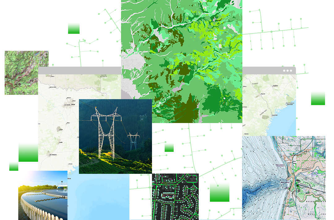
Increase GIS data quality and reliability

Implement a consistent, repeatable process for geospatial data validation that allows you to find, record, and centrally track errors. Increase trust in your GIS data and confidence in decision-making by identifying data that does not meet your organization's quality standards. 

Street map in ArcGIS Pro with table detecting data errors and a gear turning icon

Save resources and reduce costs

Eliminate the complexity and cost of creating and maintaining custom code in data quality workflows. The out-of-the-box configurable checks in Data Reviewer enable you to automate your geospatial data validation workflows without the use of custom code. Leverage data quality reports to expedite error correction and identify workflows that do not meet your requirements. 

Map in ArcGIS Pro with a text table symbolizing Data Reviewer checks next to an icon of coins and a downward arrow

Enhance productivity and transparency

Get more work done faster by identifying errors that impact the successful completion of critical projects. Inform users of any data liabilities that may impact their work.

Three employees looking at analytical data on a computer monitor next to a green stopwatch icon

How it works

Automate error detection

Configure ready-to use data checks and automatically detect errors in feature integrity, attribute completeness, and spatial relationships.

Explore data checks

Engage data experts in data quality review

Use visual review tools to further identify missing or misplaced features, improperly attributed features, and other types of errors. 

Learn how to identify errors

Track, manage, and monitor data quality

Use automated reports and web-based analytical dashboards to increase efficiency and reduce the costs of managing and maintaining good quality data. Keep track of your GIS data quality and increase confidence in decision-making by publishing metrics that inform executives in your organization. 

Learn more about error results

User story

Precise process modeling and automation

The City of Provo Public Works Department used ArcGIS Data Reviewer to ensure data quality while migrating to ArcGIS Utility Network.

Read the user story
Terri Bunting, Tucson Water Department

Access the capabilities of this extension

Included with the Professional Plus user type

The Professional Plus user type is a comprehensive license that includes access to ArcGIS Pro Advanced, the most popular ArcGIS Pro extensions, and many other ArcGIS capabilities on web and mobile devices. With Professional Plus, you can perform thorough analysis, create 2D/3D production-ready cartography, utilize artificial intelligence (AI) workflows, build custom apps, and automate your workflows.

Explore Professional Plus
Learn more about ArcGIS
A digital image of earth with blue water and green land with a series of round icons surrounding it

Purchasing options for ArcGIS Pro extensions

Explore options for ArcGIS Data Reviewer

Go to purchase options

Explore all ArcGIS Pro extensions

Browse ArcGIS Pro extensions

Talk to someone on our sales team

1-800-447-9778

7:00 a.m.–5:00 p.m., Monday through Friday (PT)

Outside the US?