GIS and drones enable environmental and engineering firm Dudek to efficiently respond to disasters, plan renewable energy sites, and more.
GIS and drones enable environmental and engineering firm Dudek to efficiently respond to disasters, plan renewable energy sites, and more.
Pervasive GIS Is What’s Next
Making location intelligence more universally available—a promise made just six short years ago at the Esri User Conference—is being realized through the widespread adoption of Web GIS. The Web GIS pattern leverages web services that make exponentially growing data streams readily accessible for visualization and analysis.
By empowering non-GIS staff, Web GIS enables both GIS professionals and non-GIS knowledge workers in organizations to get more meaningful work done. It relieves GIS professionals from previous roles as data gatekeepers and on-call mapmakers so they can engage in analytical activities that provide greater value to their organizations.
The power of data integration and computational geography can be available to every-one in the organization. Through converting massive amounts of data into actionable information, web maps are becoming a kind of language that supports problem solving.
Using apps, this work can be shared and taken everywhere: referenced and updated in the field, presented in the boardroom, and disseminated on the web. The Web GIS pattern brings together web maps, web apps, hubs, location analytics, and other technologies that improve understanding, collaboration, and communication.
Since their introduction six years ago, Esri Story Maps apps have become a communication medium that is used to tell the stories of individuals, organizations, communities, events, and processes. The more than 600,000 story maps that have been published have been viewed millions of times.
The Special Section in this issue highlights how story maps are used to promote the unique characteristics of communities, present city council agenda items in context, and share the significance and beauty of collections maintained by the Library of Congress.
With Web GIS, location intelligence is easier to apply and more accessible so society can truly benefit from The Science of Where.

Monica Pratt
Editor
Explore how the city of Nottingham, England, is using a digital twin to revitalize its city center.
Equally important as asking what GIS can do is asking what GIS can do for you.

Check out resources for users who need to migrate to ArcGIS Pro, new NAIP imagery in ArcGIS Living Atlas, and system health notifications.
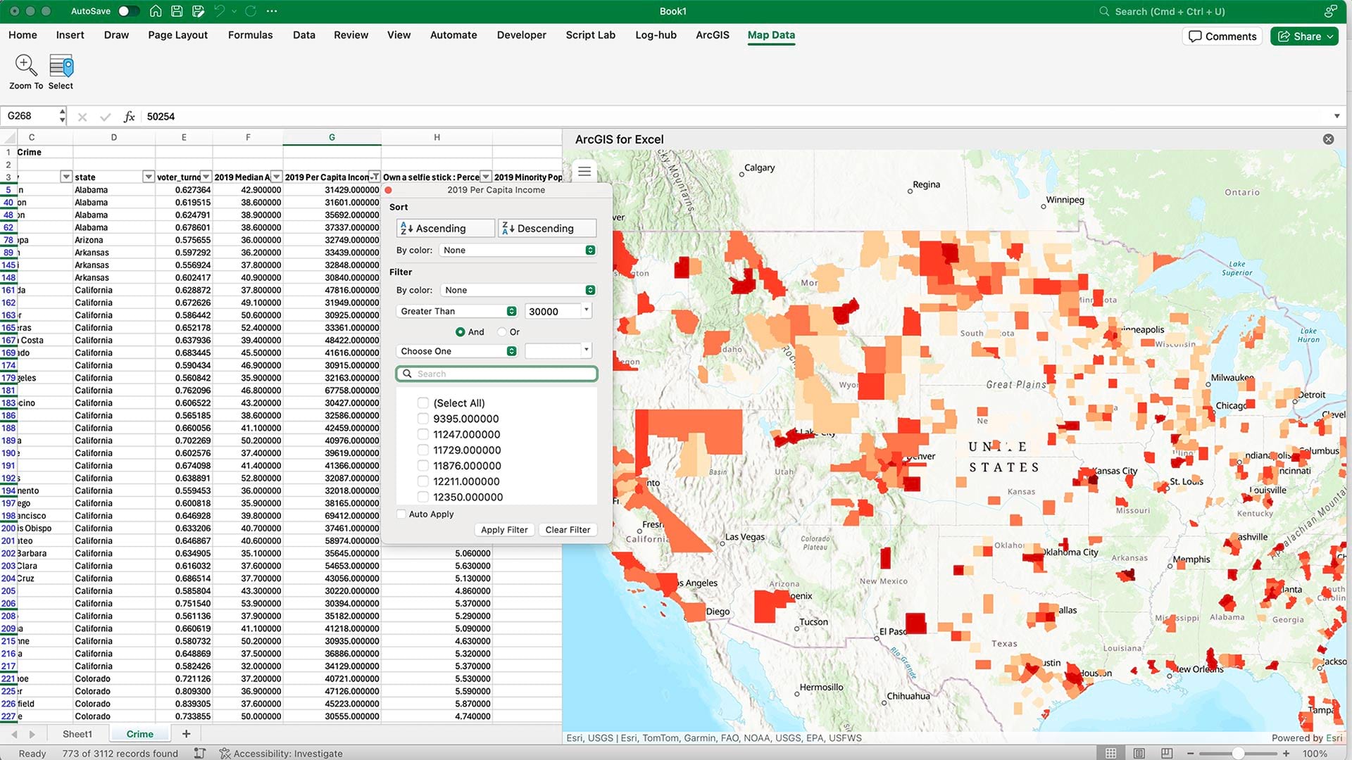
ArcGIS for Microsoft brings ArcGIS capabilities and data into the Microsoft environment. A new integration enhances data analysis at scale.

No matter how you edit or overwrite your metadata in ArcGIS, the enhanced metadata editor makes the process simpler than ever.

Drones and enterprise mapping have allowed Pattern Energy to track every step of the largest wind energy project in the Western Hemisphere.
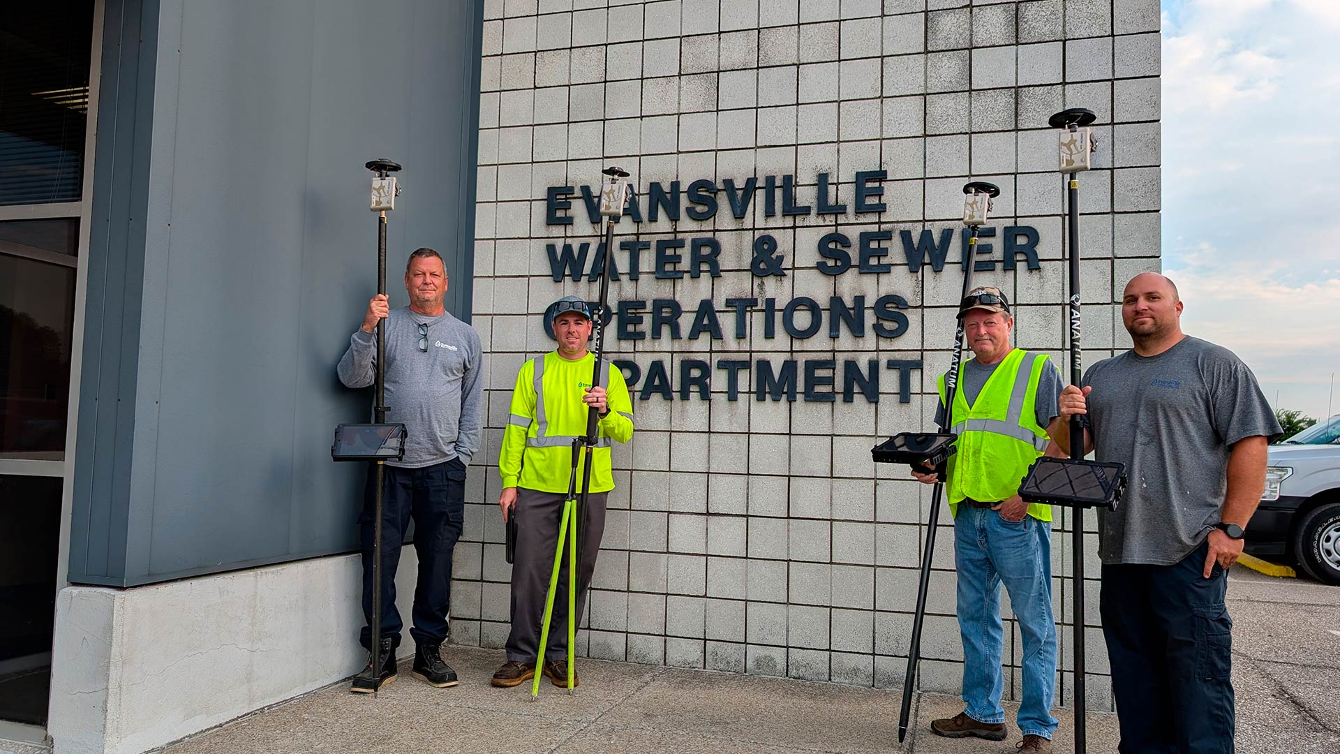
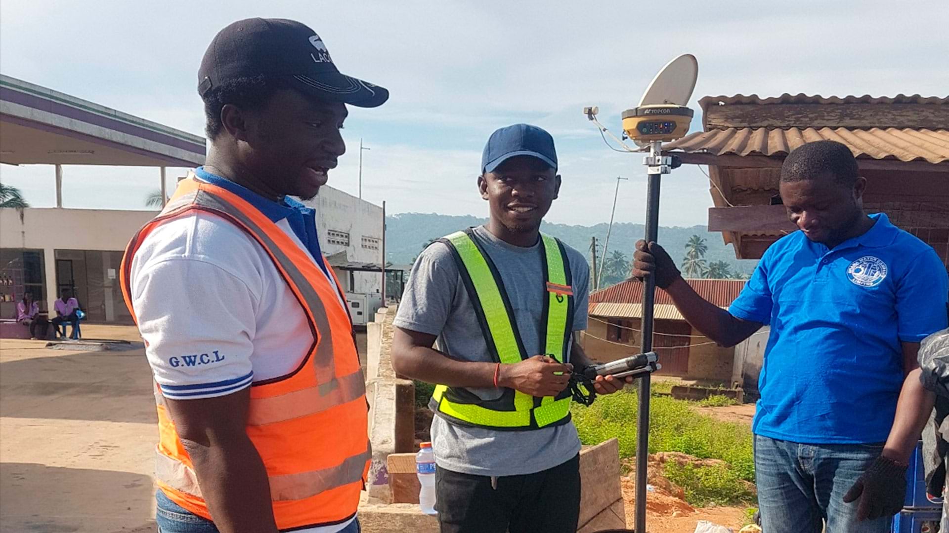
Evansville Water and Sewer Utility used a transition to ArcGIS Utility Network as an opportunity to remap its data with GNSS technology.

Some skills are essential to any management role. GIS management requires all these and more to thrive in an ever-changing industry.
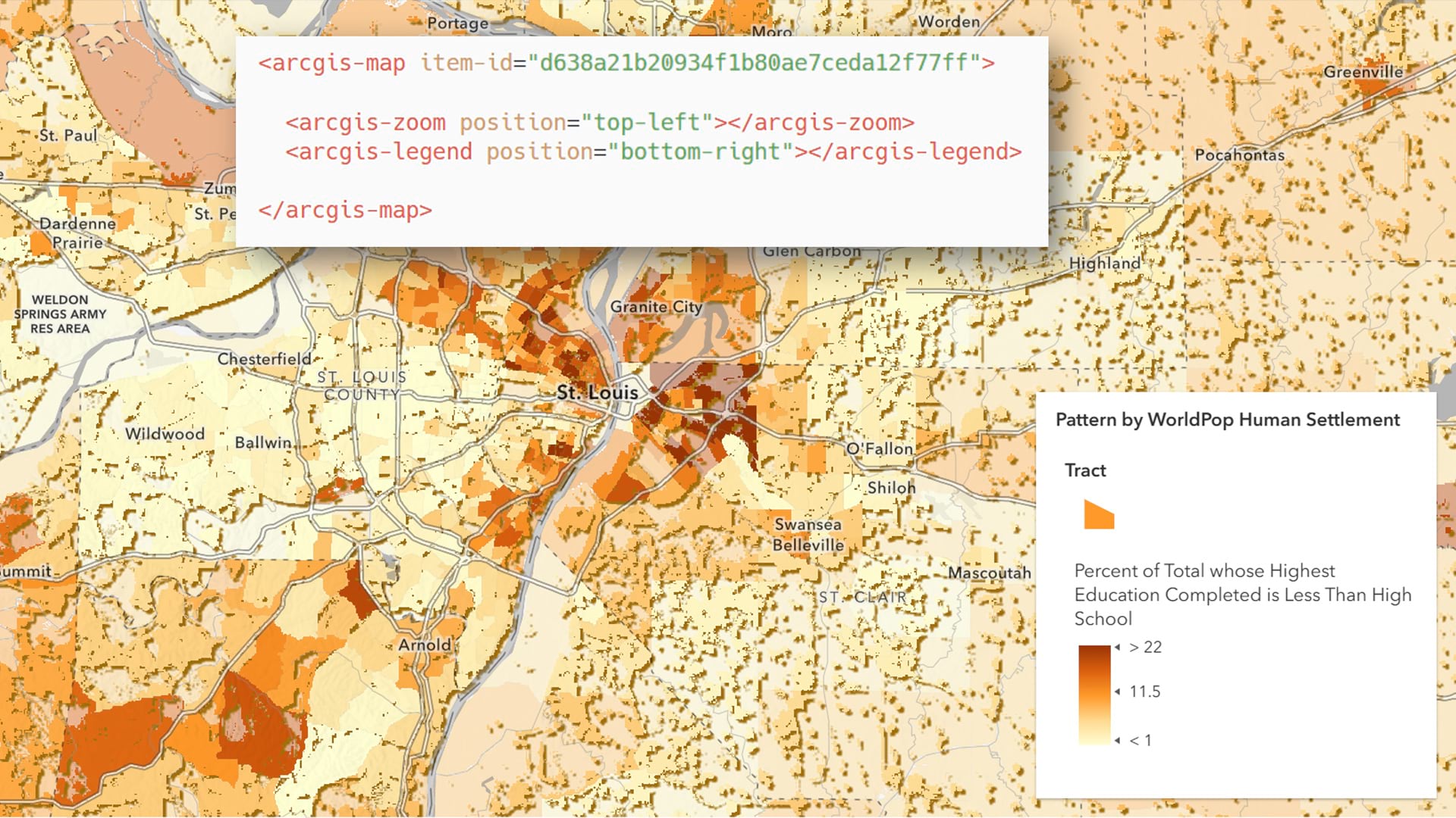
ArcGIS Maps SDK for JavaScript is moving from a widget-based architecture to one based on web components. Learn what this means for you.

New layers in ArcGIS Living Atlas of the World can be used to visualize wind patterns and assess wind resources for policy and planning.
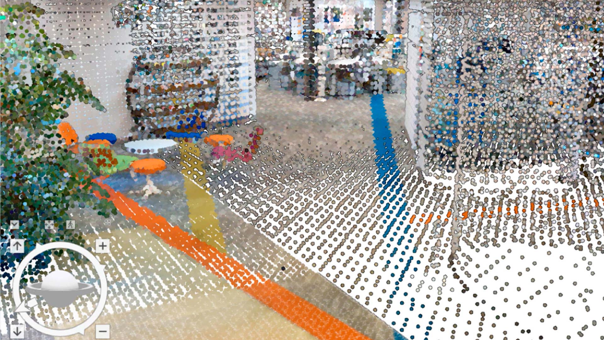
Check out some of the many ways reality capture data can be used to support indoor GIS applications.

Did you know you can automate the process of sharing CAD and BIM data in ArcGIS Pro? Learn how.
Learn strategies to make your maps readable for those who have some form of color blindness.
Matt Edrich, product manager for FieldSync, shares how being part of a GIS community allows him to work more efficiently and effectively.
Emmanuel Narteh Aklie, a PhD candidate at Texas State University, shares his journey to success in the GIS industry.

Explore how Rochester Institute of Technology is using ArcGIS to teach students to create geospatial digital twins.

APOPO uses GIS to track both the health of its mine-sniffing dogs and the conditions of sites that have been cleared of explosives.
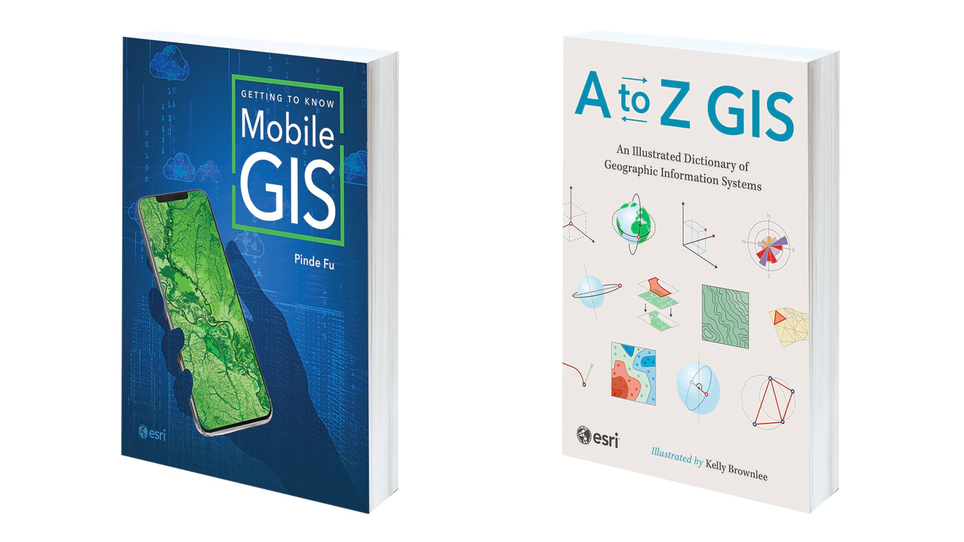
Getting to Know Mobile GIS and A to Z GIS: An Illustrated Dictionary of Geographic Information Systems.