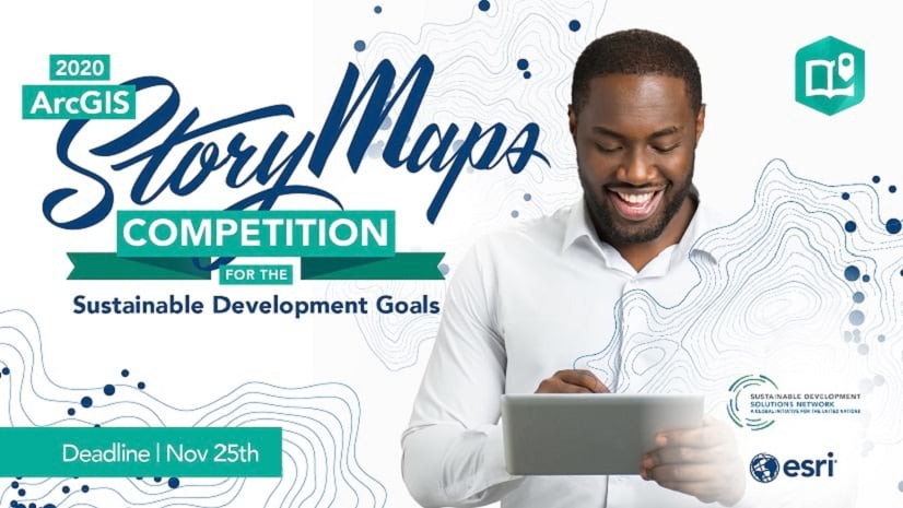
Are you ready to join storytellers worldwide in a competition for positive change?
For this year’s annual StoryMaps competition, Esri and the United Nations Sustainable Development Solutions Network (SDSN) have teamed up to solve global challenges through GIS and storytelling. And we need your help.
Simply create an original story that addresses one or more of the Sustainable Development Goals (SDGs) and submit it through the 2020 ArcGIS StoryMaps Competition for the SDGs website by November 25th. To get started, join the Esri – SDSN Storytelling for the SDGs Webinar.
Storytelling for the SDGs Webinar
October 15, 2020 at 11:00 AM – 1:00 PM Eastern
CLICK HERE TO REGISTER
Learn about global challenges, data-driven stories with maps, and details about the competition directly from the 2020 ArcGIS StoryMaps Competition judges—Hindou Ibrahim, Jeffrey Sachs, Alex Tait, and Dawn Wright! Meet your judges…

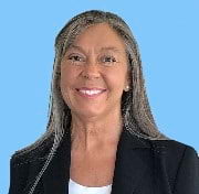
Hindou Oumarou Ibrahim
SDG Advocate and environmental activist
Hindou Ibrahim is an expert in indigenous peoples’ adaptation to climate change, traditional ecological knowledge, and climate change mitigation strategies. She is co-chair of the International Indigenous Peoples Forum on Climate Change and serves as an SDG Advocate under UN Secretary-General António Guterres. From a Mbororo pastoralist community in Chad, Hindou founded the Association for Indigenous Women and Peoples of Chad to empower indigenous voices with collaborative tools—such as 3D participatory mapping—to build sustainable ecosystems management and reduction of nature-based resource conflicts.
A National Geographic Explorer, her TED talk on Indigenous knowledge meets science to solve climate change has surpassed more than 1 million views.
Follow: @hindououmar Twitter, @hindououmar Instagram, @Hindou Oumarou Ibrahim Facebook

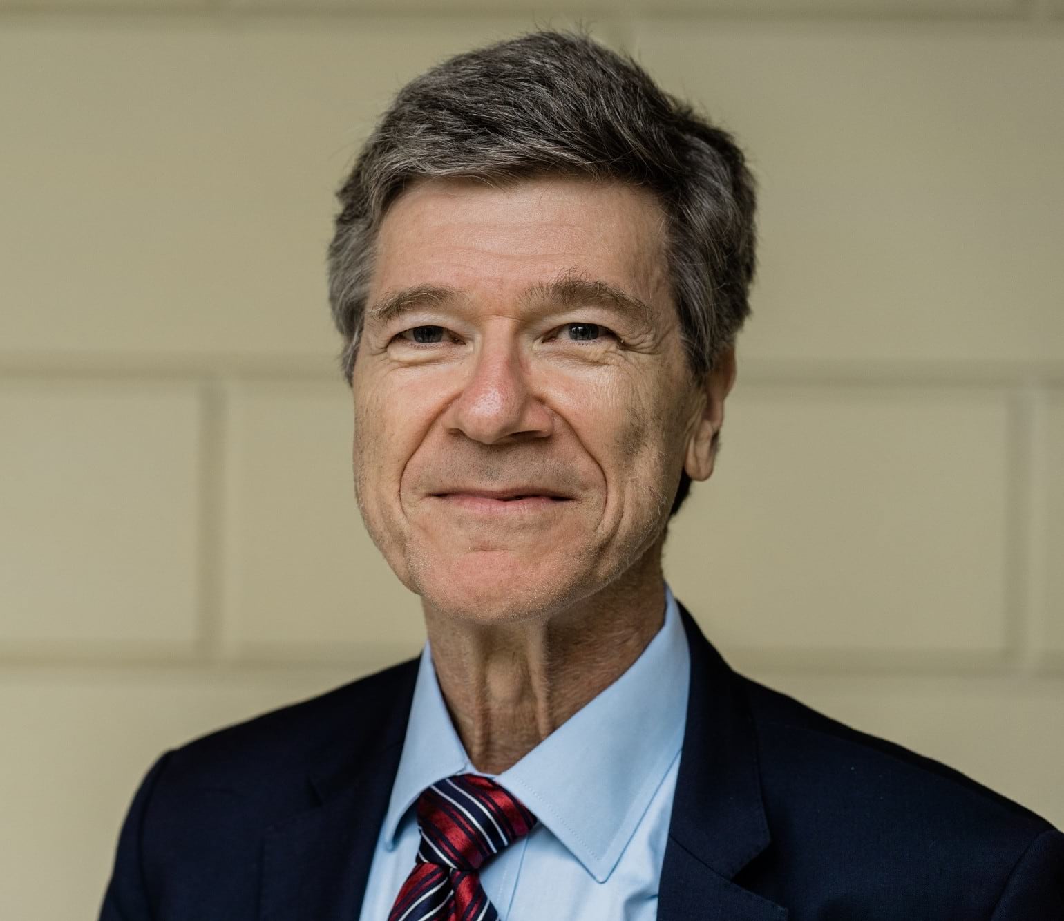
Jeffrey Sachs
President, UN Sustainable Development Solutions Network
Jeffrey Sachs is a world-renowned economist, bestselling author, innovative educator, and global leader in sustainable development. He is the President of the UN Sustainable Development Solutions Network and Director of the Center for Sustainable Development at Columbia University. He currently serves as an SDG Advocate under UN Secretary-General António Guterres. Sachs was twice named Time magazine’s 100 most influential world leaders, and was ranked by The Economist among the top three most influential living economists.
Read his recent interview with Esri’s StoryMaps team and listen to his Esri & the Science of Where podcast.
Follow: @UNSDSN Twitter and @jeffrey.sachs Facebook
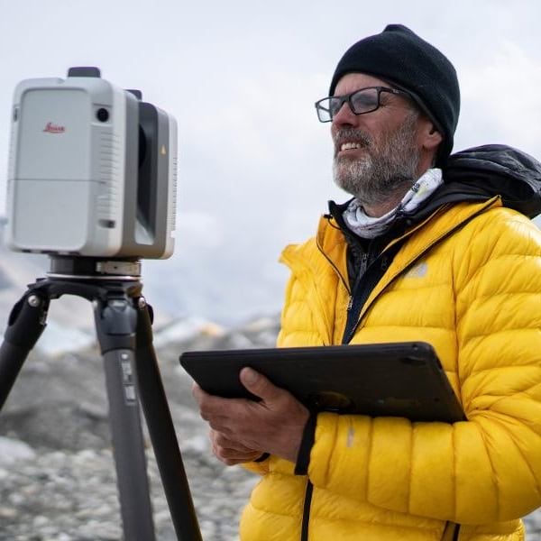
Alex Tait
The Geographer at the National Geographic Society
Alex Tait leads geopolitical and cartographic direction for the National Geographic Society. Prior to that, he worked at International Mapping Associates, providing expertise for international boundary disputes before world courts.
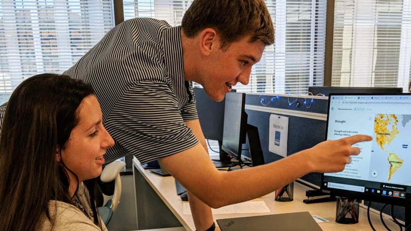
Explore his Mapping Mount Everest story—built in the ArcGIS StoryMaps platform—and hear him discuss the critical roles of data, GIS tools, and mapping during and after the scientific expedition to Everest.
Follow: @taitmaps Twitter
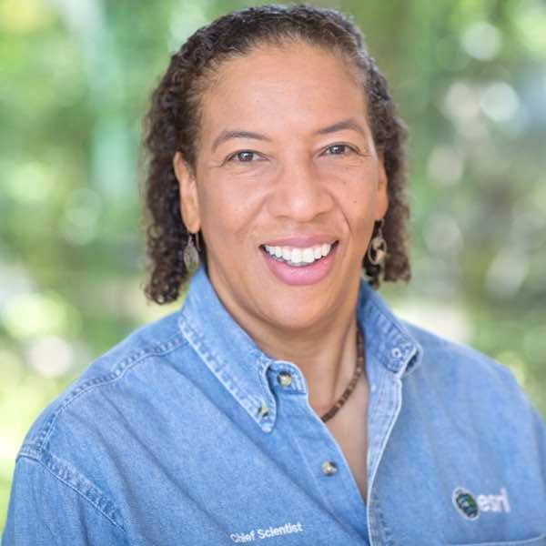
Dawn Wright
Esri Chief Scientist
As Chief Scientist of Esri, Dawn Wright aids in strengthening the scientific foundation for Esri software and services, while also representing Esri to the scientific community. A specialist in marine geology, Dawn has authored and contributed to some of the most definitive literature on marine GIS and ocean conservation.
View her recent articles about science and the geospatial community.
Follow: @deepseadawn Twitter

Visit the 2020 ArcGIS StoryMaps Competition for the SDGs website to get the competition rules, important dates, and online resources.


Article Discussion: