With the rapid evolution of game engine technology in the last few years, every GIS user should be aware that gaming technologies are likely to fundamentally change the experience of GIS in the future.
Over the last few years, I’ve been asked repeated questions about gamification, gaming technologies, and use of GIS data in games. Here are some of the most common questions that I hear.
What is gamification? How does it work and what technologies are used in gamification?
In the academic sense, gamification is the implementation of workflow or technology to engage users’ basic emotional drives to encourage use of a tool or experience. Gamification is used by popular social media platforms, news sites, and, of course, games, to capture our attention and keep us engaged in their content or experience for hours.
In practice, use of the term gamification is often extended to refer to multiple aspects of applying game-based interaction to professional experiences. In our industry, we also hear gamification used sometimes to convey the use of geospatial or design information in games or game-like applications.
Generally applying gaming concepts to the geospatial world, gamification is often (mis?)used to describe:
- Use of gaming interaction patterns that drive user behavior in professional software tools – This is the classic definition of gamification. Learning experiences use badge systems, social engagement, and contribution statistics to encourage the student or participant.
- In Esri’s GeoNet community, contributors are awarded levels, badges, and see their lifetime progress, devices that encourage participants to contribute.
- Another great example is the Esri UK Rewards tool for ArcGIS Online users.
- Last year, I blogged about an example of creating a game using the ArcGIS API for Javascript. The game can be played here.

- Use of gaming technology in professional software tools – One of the biggest advances in user experience comes from the ubiquitous nature of computer games and resulting changes in expectations of users about how to interact with professional tools. If you can use a flashlight in a game with intuitive gestures, why can’t you do the same with drawing or measurement tools in a professional software application?
- Use of GIS data and location in a game – Geospatial and design information can be used directly in games. For decades, there has been the concept of “Serious Games” which extend gaming experiences to real world scenarios for scientific discovery, education, and training. Of course, there is also the use of geospatial and design information in true games used for entertainment. Niantic, Inc.’s Pokémon Go is a great example of a game that uses real world mapping information for entertainment.

How has the GIS industry adopted gamification and gaming technology?
The geospatial industry at large has been slow to adopt gaming-style interaction and gamification, but that is starting to change. There are good examples, such as the fun work that Safe Software Inc has done to allow users to transform GIS content into Minecraft worlds and the use of GIS content in flight simulators. The military provides some of the best examples in which real world landscape information and detailed building models are combined in gaming experiences to plan missions and train war fighters. That’s a substantial group of people around the world, but only a fraction of the broader geospatial industry.
Recently, the drive to bring geospatial content as context or as analytical content into Virtual Reality (VR) and Augmented Reality (AR) experiences has resulted in more interest from gaming technology companies in consuming GIS data in their products. Esri is working actively on integration technology for gaming platforms. We are also partnering with these vendors to make consumption of geospatial content in gaming experiences easier for developers and end users.

Can gaming technology and gamification benefit Esri users and the geospatial industry?
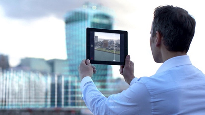
The incorporation of more interactive and game-like tools is improving the user experience of geospatial products and encouraging new types of users to explore and benefit from GIS content. New, consumer-type experiences for interacting with GIS and design content have been enabled through the evolution of GPUs (Graphics Processing Units), faster storage, and interactive navigation devices. New devices, such as VR and AR headsets are changing the expectations of how GIS data can be experienced.
In Esri products, we’ve added interactive analysis tools across the ArcGIS platform so that users have familiar game-like measurement, intervisibility, and surface analysis tools in desktop, web, and mobile experiences. Easy-to-use tools that provide immediate output allow us to put the power of GIS analysis in the hands of non-geospatial specialists who want to explore data without requiring deep technical expertise.
The ubiquity of fantastic graphics in games is also driving the need for 3D geospatial experiences to achieve better graphics quality. Esri has been experimenting with higher quality graphics output, both through new VR experiences and in our desktop and web tools. Users have been responding excitedly.

We can capture reality at millimeter precision. How is this being used with GIS and gaming to impact professional users?
Fifteen years ago, we said that 3D could deliver a more accurate model of reality than 2D, but it was hard to see how that would happen given the technical challenges and cost of data capture at that point in time. Today, the reality capture is making this happen with rapidly evolving and commoditizing data capture tools, faster workflows for technicians, and a range of vendor technologies to convert scan data into high resolution geospatial content.
The concept of Serious Gaming, or gaming that helps accomplish work or learning applied to real world problems, has been around for years. When you have hyper-accurate models of cities or countries and you combine them with interactive experiences and planning or analysis data, you open up the possibility to explore, interact, and even manipulate perceived reality in a Serious Gaming experience that can occur in the context of the assets and environment around us.
Just about any industry can benefit from the combination of reality capture information with gaming technology. These applications include military training experiences to increase mission success, safety and health training on oil and gas platforms and in hospitals, and urban planning experiences that give citizens the ability to see and comment on the future of their city.
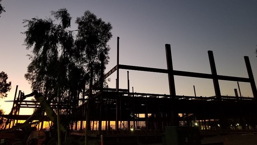
Is the use of gaming and GIS together making impacts on the AEC industry?
When transitioning complex built assets from construction to commissioned operation, it turns out that handing over a hard drive brick filled with digital manuals and drawings is not that helpful for maintenance and repair staff. For this reason, AR and VR are starting to take hold in the AEC industry. Today, large organizations in some regions are issuing RFPs requiring VR and AR experiences that combine GIS content, reality capture information, and design data into training tools for handoff and commissioning of new construction from AEC teams to maintenance and facilities staff.
A team from the company that is now WSP worked with Autodesk about 10 years ago to build a sit-in driving simulator for the San Francisco Bay Bridge and Doyle Drive infrastructure improvements to show city officials how the new roadway curves would behave under different driving speeds. This was probably the grandparent of the requirements for VR and AR training experiences in leading AEC projects today.

Why are games so much better at displaying the full resolution of the real world than GIS technology?
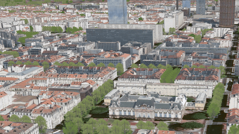
There is a huge misconception in this question. Today, Esri products have the capability to render millions of buildings and billions of points even in a web browser on a mobile device. In fact, Esri has been shipping this technology for five years!
The geospatial and gaming communities are both inventing technologies that are making it easier for them to cooperatively solve complex problems that will enable better visualization and analysis of real world data.
We released an open specification for sharing large, heterogeneous sets of 3D geospatial content to the community back in 2015. Since then, the Indexed 3D Scene Layer (I3S) specification, has been adopted by OGC as an open standard. We have continued to improve I3S to add capabilities to store, stream, and display larger and different kinds of datasets. The largest single data set that I’ve personally seen has been 180GB for a single layer, but I’ve heard of some that have been over 1TB of point cloud data at millimeter resolution.
Traditional games often had rigidly curated and premanipulated content that was geared only toward high visual and performance quality. These systems typical required significant changes made under artistic license to real world content. Now we’re seeing the major game engines, such as Unity and Epic’s Unreal Engine, make tremendous strides with dynamic real time rendering that has significantly more flexibility when consuming and visualizing design and geospatial content.
Are Esri tools used in gaming experiences today?
ArcGIS CityEngine is an award-winning tool that is widely used for creating game experiences. With CityEngine, a game artist or urban designer can quickly generate diverse, immersive content for virtual worlds based on either real world GIS features or invented content. CityEngine has been used to create real world scenes for games such as the Circuit de Prague in Microsoft’s Forza 5. We were even the first 3rd party to support Epic Game’s Unreal Engine Datasmith with the CityEngine exporter for Datasmith. This made it easier to create game engine-ready content directly out of our products.
An Esri partner, Vrbn, worked with the City of Zurich to create an interactive, mixed reality experience that superimposed a scene of historical buildings directly on a user’s view of a plaza in the city. Based on archaeological findings, a digital 3D model was generated using CityEngine that was then shown to the user in Microsoft HoloLens (AR) and Occulus Rift (VR) experiences. Thousands of visitors were able to use the installation to explore the distant past in its correct geospatial context.
Pascal Mueller, Director of our Esri Zurich R&D Center, gave a good talk on the use of CityEngine in game content creation at GDC last year.

How can the GIS industry benefit from gamification into the future?
Regarding GIS products, there is no going back once users are exposed to interactive, game-like experiences for analysis and interaction with high resolution reality captured models of the real world. I expect GIS experiences to become more interactive, increasingly immersive, and to be able to be used by more users with fewer GIS technical skills in the future. Gaming technologies and techniques are already helping that to happen.
The drug discovery market has a fantastic example of a game, FoldIt from the University of Washington, that encouraged thousands of users to help solve protein puzzles. In a couple of cases, user solutions resulted in valuable drug discoveries. GIS users want to help our societies to manage and design sustainable, environmentally healthy ecosystems. I believe that an unmet need in our industry is for the GIS version of FoldIt that encourages students of all ages to learn and build solutions for how we can contribute to a healthier world that encourages preservation of the intrinsic beauty and value of the natural systems on our planet.
Author’s note: Many thanks to Prof. Kristen S. Kurland of Carnegie Mellon University for images and background on recent work at CMU to explore the combination of gaming technology and GIS to improve cities in the face of increasing need for improvement and data-drive decision making. You can read more about Prof. Kurland in “Women and GIS: Mapping their Stories” from Esri Press.


Commenting is not enabled for this article.