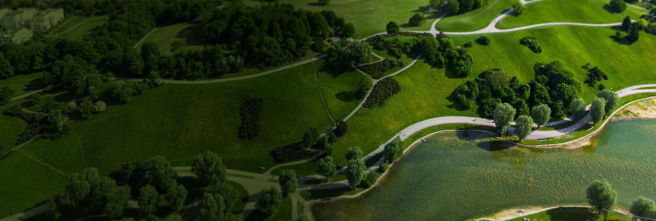
Today’s decision-makers are faced with a common challenge—how to set development policies that support everyone. If we can start thinking of natural resources as part of a connected infrastructure that supports our everyday lives, we can also recognize the need to actively conserve those resources.
Communities are using GIS to identify local valuable landscapes, prioritize which to protect, and plan connections within and beyond their boundaries. By visualizing this information on a map, your community can understand the true cost of development before it happens. In tandem with the Green Infrastructure Center, Esri has provided the data, maps, and tools needed to support green infrastructure strategies in the United States at the regional, municipal, and urban scale.


